MyTopo
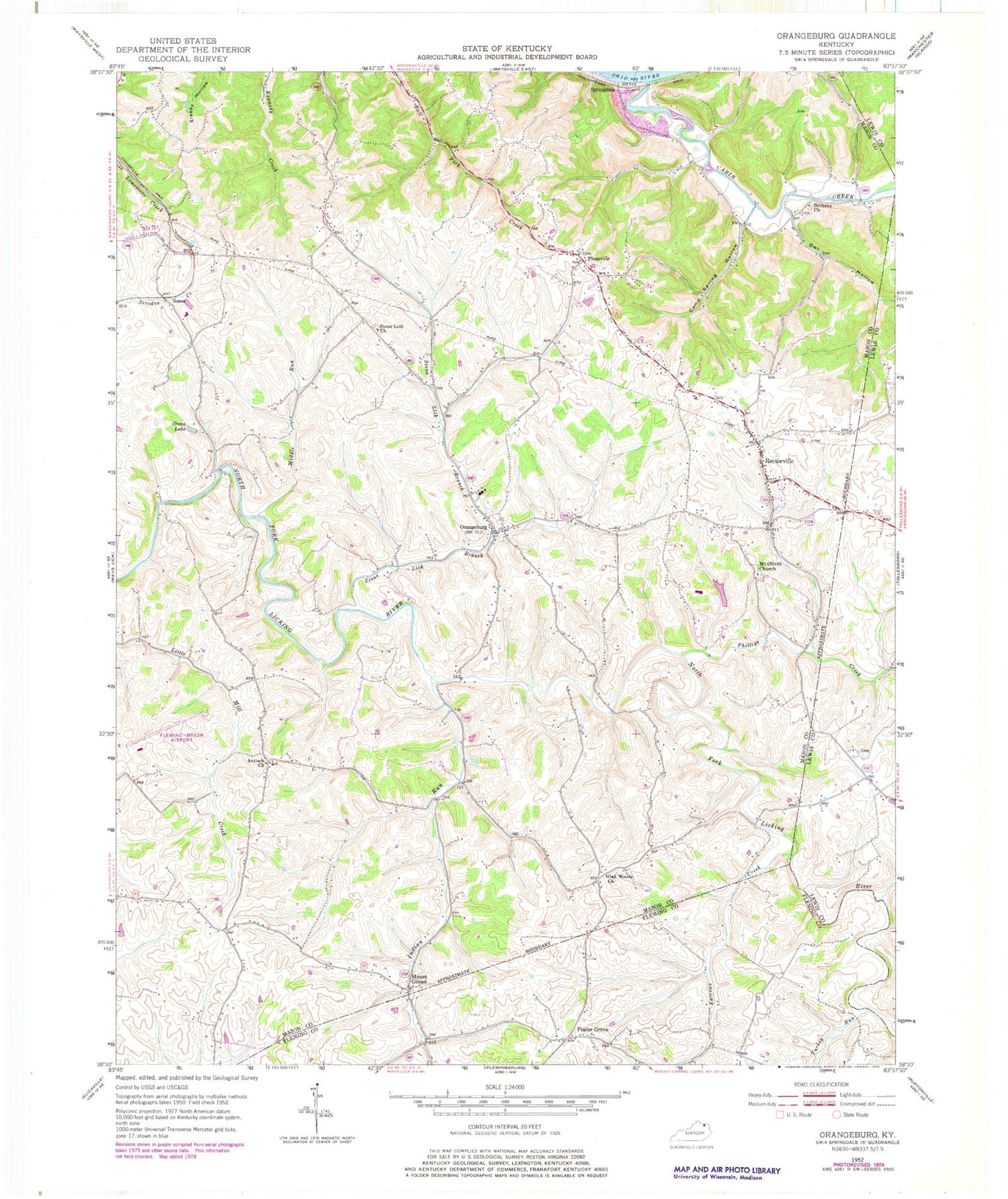
Classic USGS Orangeburg Kentucky 7.5'x7.5' Topo Map
Couldn't load pickup availability
Historical USGS topographic quad map of Orangeburg in the state of Kentucky. Map scale may vary for some years, but is generally around 1:24,000. Print size is approximately 24" x 27"
This quadrangle is in the following counties: Fleming, Lewis, Mason.
The map contains contour lines, roads, rivers, towns, and lakes. Printed on high-quality waterproof paper with UV fade-resistant inks, and shipped rolled.
Contains the following named places: Antioch Church, Bairds Run, Bernard Post Office, Bethany Church of Christ, Cabin Creek, Camp Spring Hollow, Farrows Creek, Farrows Mill Post Office, Fleming-Mason Airport, Grant Lake, Indian Run, Middle Run, Mount Gilead, Mount Gilead Post Office, Mount Olivet Church, Nash Cemetery, Oak Woods Church, Orangeburg, Orangeburg Volunteer Fire Department, Owl Hollow, Phillips Creek, Plaineview Church, Plumville, Plumville Post Office, Poplar Grove, Rectorville, Rectorville Elementary School, Rectorville Post Office, Somo, Springdale, Springdale Post Office, Stewart Church, Stone Lick Baptist Church, Stone Lick Branch, Sycamore Hill, Taylors Mill, The Dead Fall, Turkey Run, Williamsburg-Orangeburg Historical Marker


