MyTopo
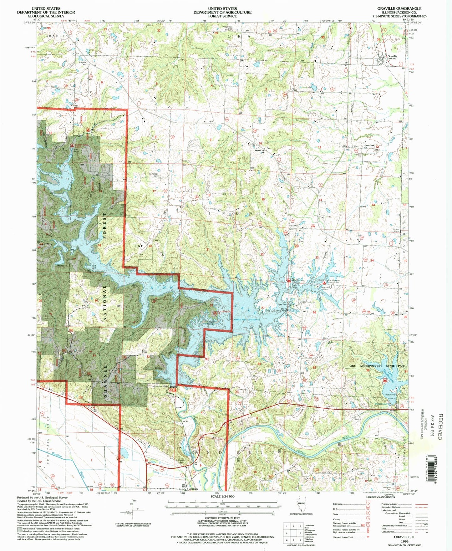
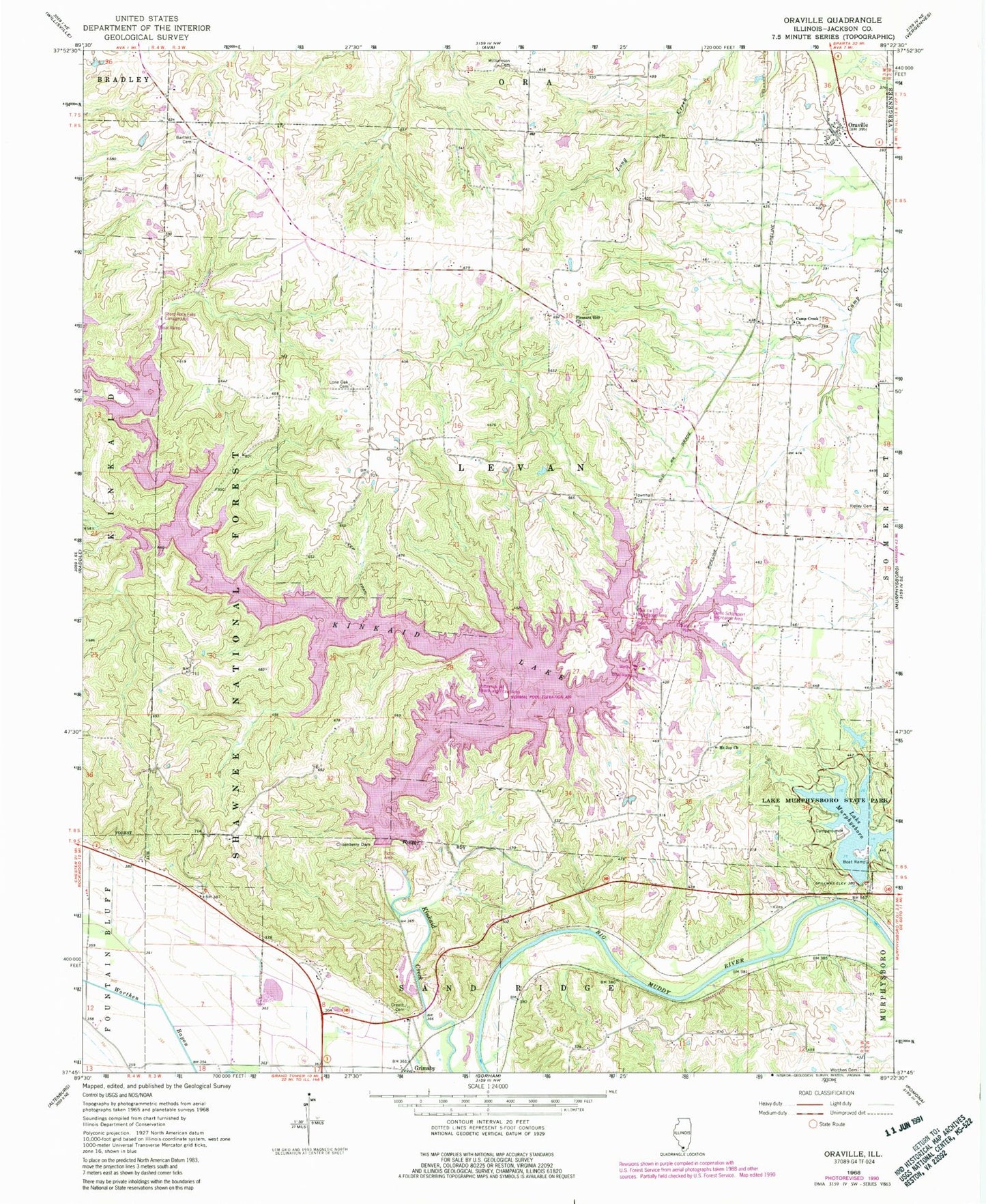
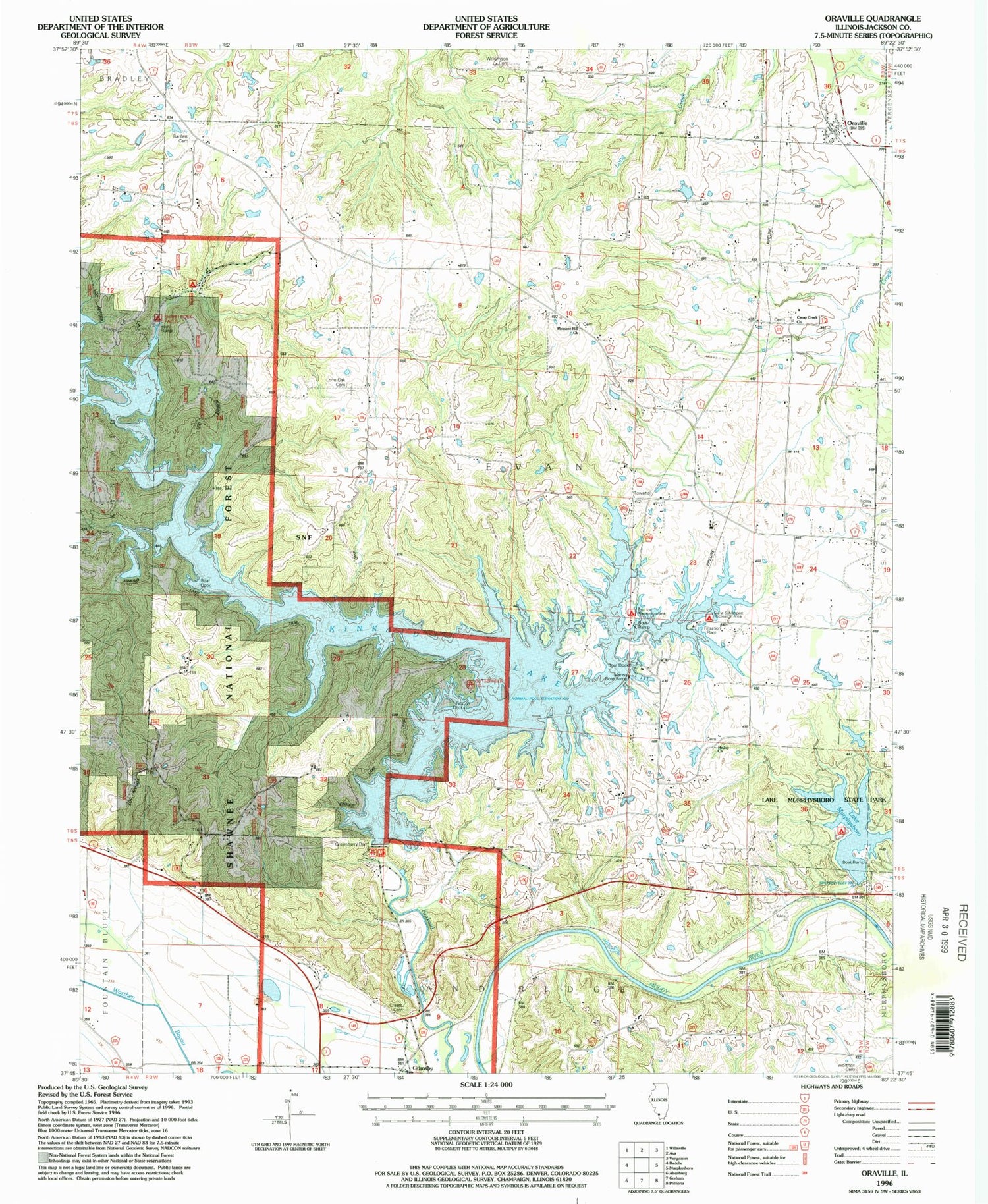
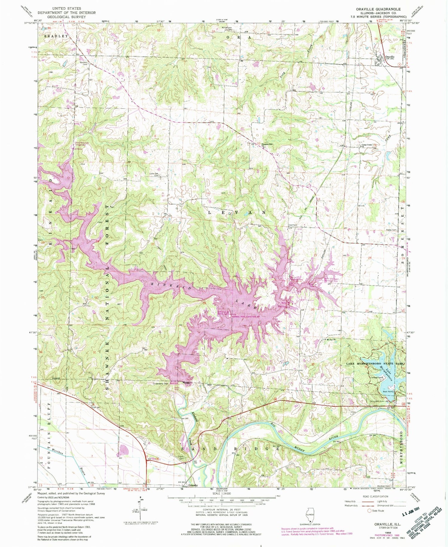
Classic USGS Oraville Illinois 7.5'x7.5' Topo Map
Couldn't load pickup availability
Historical USGS topographic quad map of Oraville in the state of Illinois. Typical map scale is 1:24,000, but may vary for certain years, if available. Print size: 24" x 27"
This quadrangle is in the following counties: Jackson.
The map contains contour lines, roads, rivers, towns, and lakes. Printed on high-quality waterproof paper with UV fade-resistant inks, and shipped rolled.
Contains the following named places: Bartlett Cemetery, Camp Creek Baptist Church, Creath Morris Cemetery, Crisenberry Dam, Grimsby, Kinkaid Lake, Lake Murphysboro State Park, Lone Oak Cemetery, Mount Joy Church, Lake Murphysboro, Oraville, Pleasant Hill Christian Church, Ripley Cemetery, Williamson Cemetery, Worthen Cemetery, Jackson County, WXAN-FM (Ava), Township of Levan, Buttermilk Hill Beach and Picnic Area, Glenn Schlimpert Recreation Area, Levan Townhall, Paul Ice Recreation Area, Sharp Rock Falls Campground, Sodom School (historical), Union School (historical), Walbieser School (historical), Bald Knob Picnic Area, Big Oak Campground, Clear View Picnic Area, Lake Shore Drive Picnic Area, Mount Pleasant Station (historical), Oak Point Picnic Area, Pine Circle Picnic Area, Shady Cove Picnic Area, Shady Rest Campground, Water Lily Campground, Rendleman Airport


