MyTopo
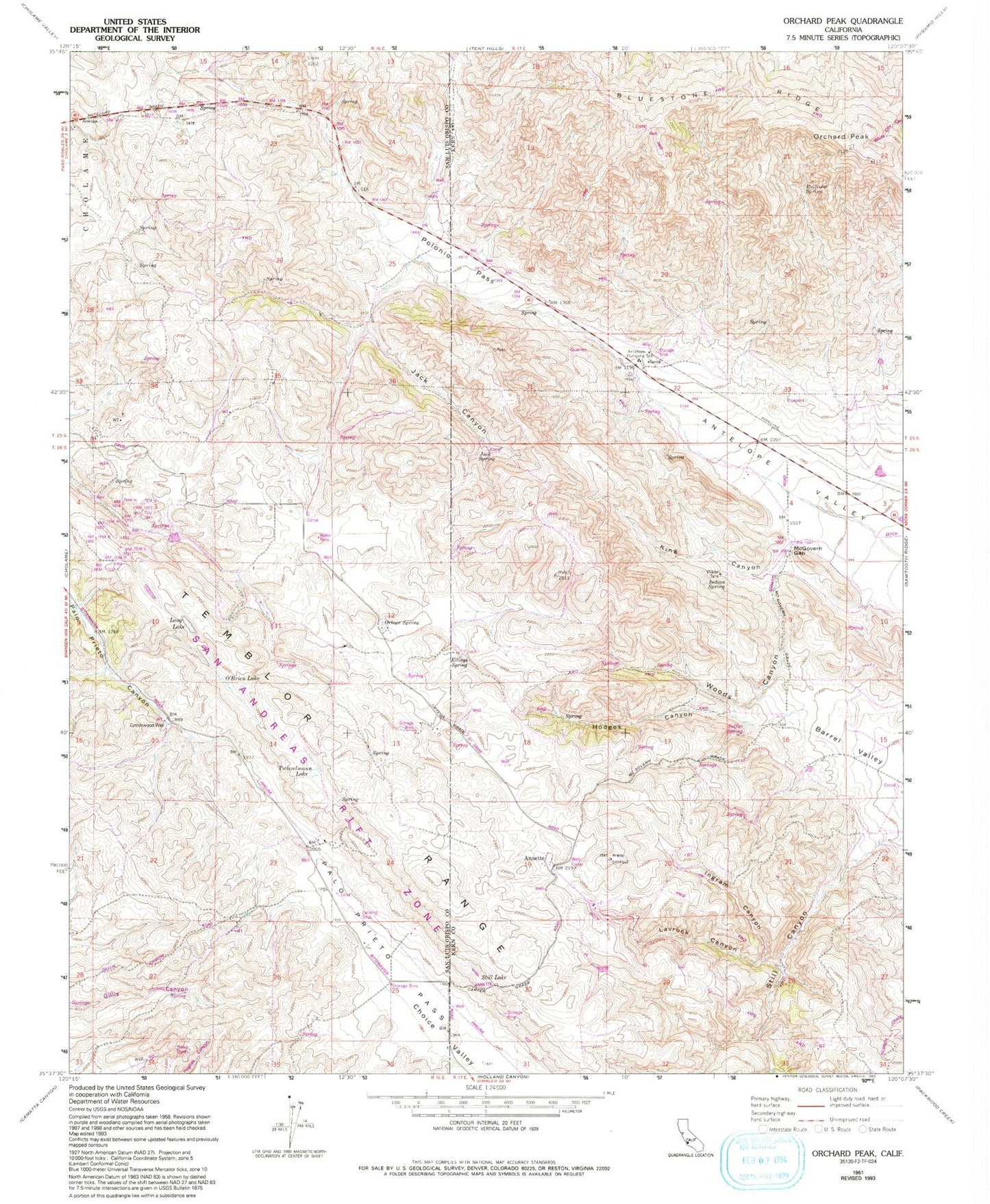
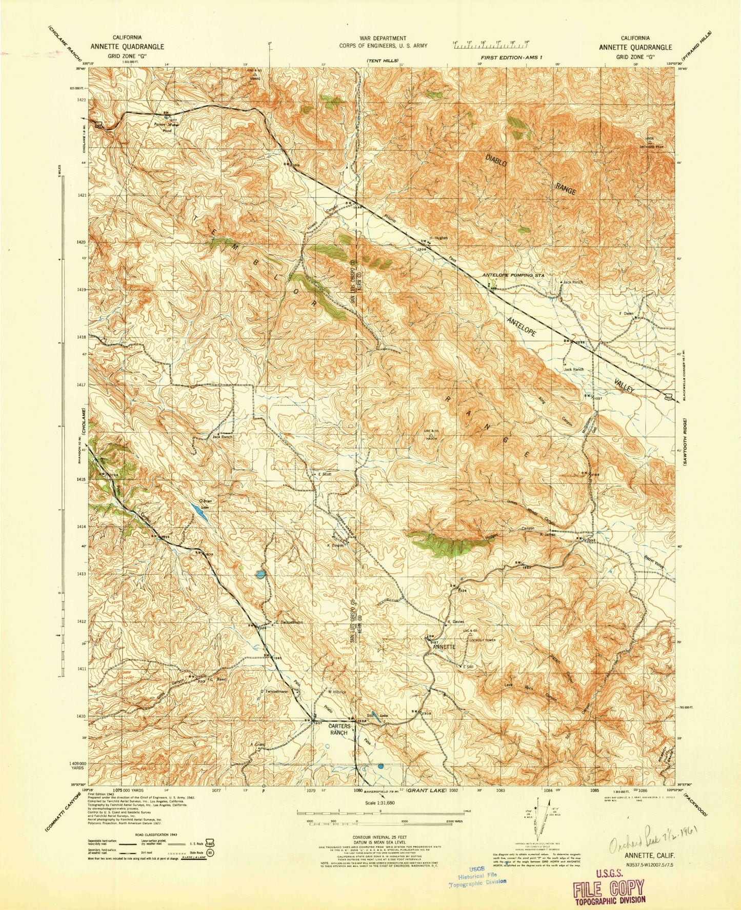
Classic USGS Orchard Peak California 7.5'x7.5' Topo Map
Couldn't load pickup availability
Historical USGS topographic quad map of Orchard Peak in the state of California. Map scale may vary for some years, but is generally around 1:24,000. Print size is approximately 24" x 27"
This quadrangle is in the following counties: Kern, San Luis Obispo.
The map contains contour lines, roads, rivers, towns, and lakes. Printed on high-quality waterproof paper with UV fade-resistant inks, and shipped rolled.
Contains the following named places: Annette, Antelope Pumping Station, Bluestone Ridge, Carters Ranch, Cottonwood Well, Ellings Spring, Fig Tree Spring, Hodges Canyon, Indian Spring, Ingram Canyon, Jack Canyon, Jack Ranch, Jack Spring, King Canyon, Lavrock Canyon, Long Lake, McGovern Gap, O'Brien Lake, Orchard Peak, Ortega Spring, Palo Prieto Pass, Poison Water Pond, Polonio Pass, Railroad Spring, Still Lake, Sulfur Spring, Twisselmann Lake, Woods Canyon


