MyTopo
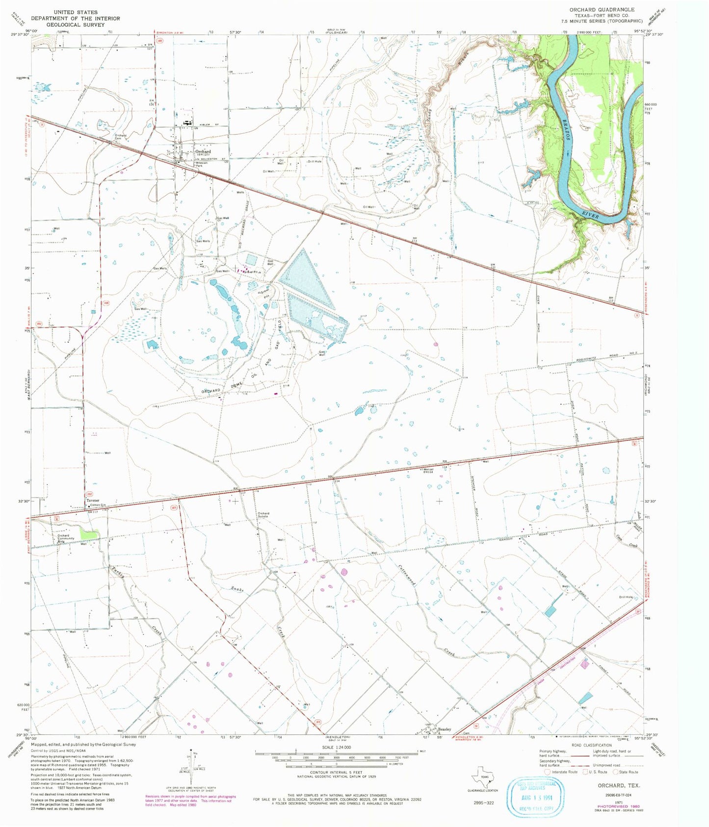
Classic USGS Orchard Texas 7.5'x7.5' Topo Map
Couldn't load pickup availability
Historical USGS topographic quad map of Orchard in the state of Texas. Map scale may vary for some years, but is generally around 1:24,000. Print size is approximately 24" x 27"
This quadrangle is in the following counties: Fort Bend.
The map contains contour lines, roads, rivers, towns, and lakes. Printed on high-quality waterproof paper with UV fade-resistant inks, and shipped rolled.
Contains the following named places: Artesian Park, City of Orchard, Orchard, Orchard Cemetery, Orchard Community Building, Orchard Dome Oil and Gas Field, Orchard Post Office, Orchard Substation, Orchard Volunteer Fire Department, Orchard-Kendleton Division, San Gabriel Cemetery Annex, Sandy Branch, Tavener, Ward Airpark, ZIP Code: 77464