MyTopo
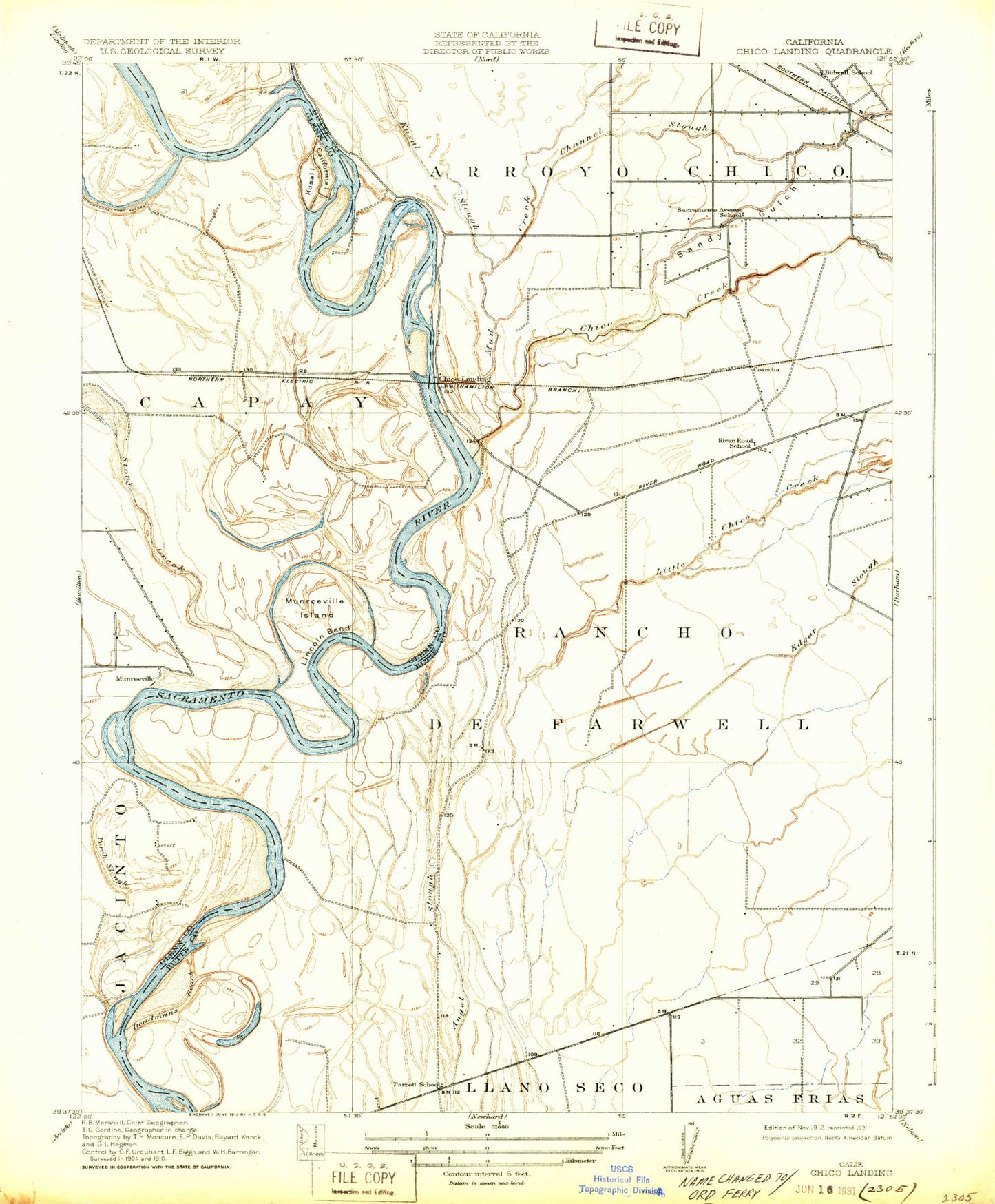
Classic USGS Ord Ferry California 7.5'x7.5' Topo Map
Couldn't load pickup availability
Historical USGS topographic quad map of Ord Ferry in the state of California. Map scale may vary for some years, but is generally around 1:24,000. Print size is approximately 24" x 27"
This quadrangle is in the following counties: Butte, Glenn.
The map contains contour lines, roads, rivers, towns, and lakes. Printed on high-quality waterproof paper with UV fade-resistant inks, and shipped rolled.
Contains the following named places: Bidwell School, Bidwell-Sacramento River State Park, Big Chico Creek, Big Chico Creek Day Use Area, Channel Slough, Chico Fire Department Station 6, Chico Landing, Colyear Springs, Comanche Creek, Deadmans Reach, Dubock Slough, Dunning Slough, Golden State Island, Indian Fishery, Jenny Lind Bend, Johnsen Airport, Kusal Slough, Lindo Channel, Monroeville, Mud Creek, Murphy Slough, Negro Sam Slough, Ord Ferry, Ordbend County Park, Perch Slough, Phelan Island, Pine Creek, Pine Creek Landing, Rancho De Farwell, Ryan Island, Sandy Gulch, Scottys Boat Landing, Shannon Slough, Stony Creek


