MyTopo
Classic USGS Ord NW Nebraska 7.5'x7.5' Topo Map
Regular price
$16.95
Regular price
Sale price
$16.95
Unit price
per
Couldn't load pickup availability
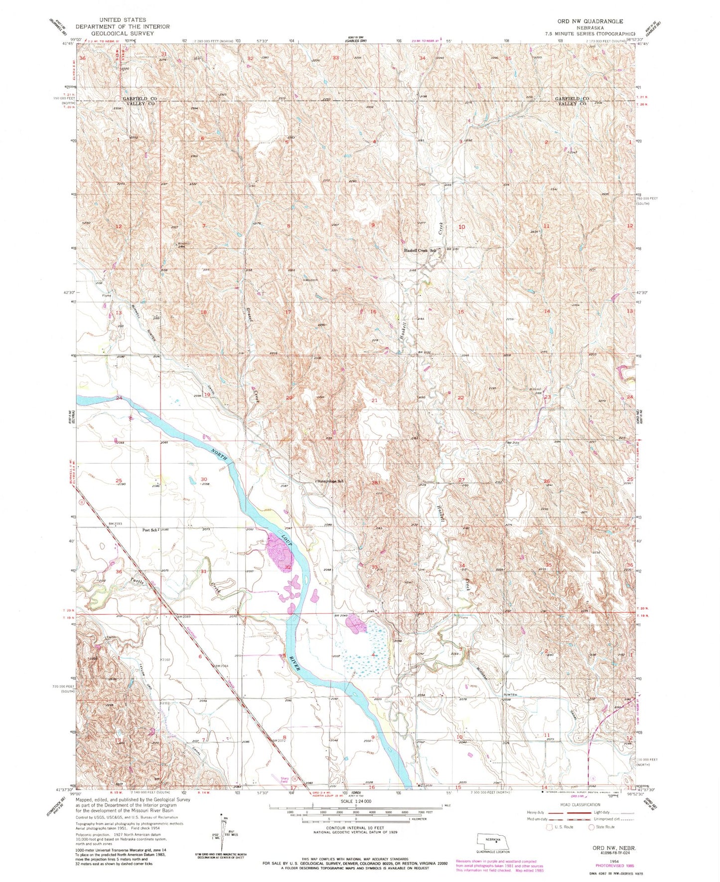
Historical USGS topographic quad map of Ord NW in the state of Nebraska. Map scale may vary for some years, but is generally around 1:24,000. Print size is approximately 24" x 27"
This quadrangle is in the following counties: Garfield, Valley.
The map contains contour lines, roads, rivers, towns, and lakes. Printed on high-quality waterproof paper with UV fade-resistant inks, and shipped rolled.
Contains the following named places: Bailey School, Burwell -Sumter Canal, Fort Hartsuff Historical Marker, Gravel Creek, Haskell Creek, Haskell Creek School, Lone Range School, Oldfather Dam, Oldfather Reservoir, Post School, Sunnyslope School, Turtle Creek, Valley View School