MyTopo
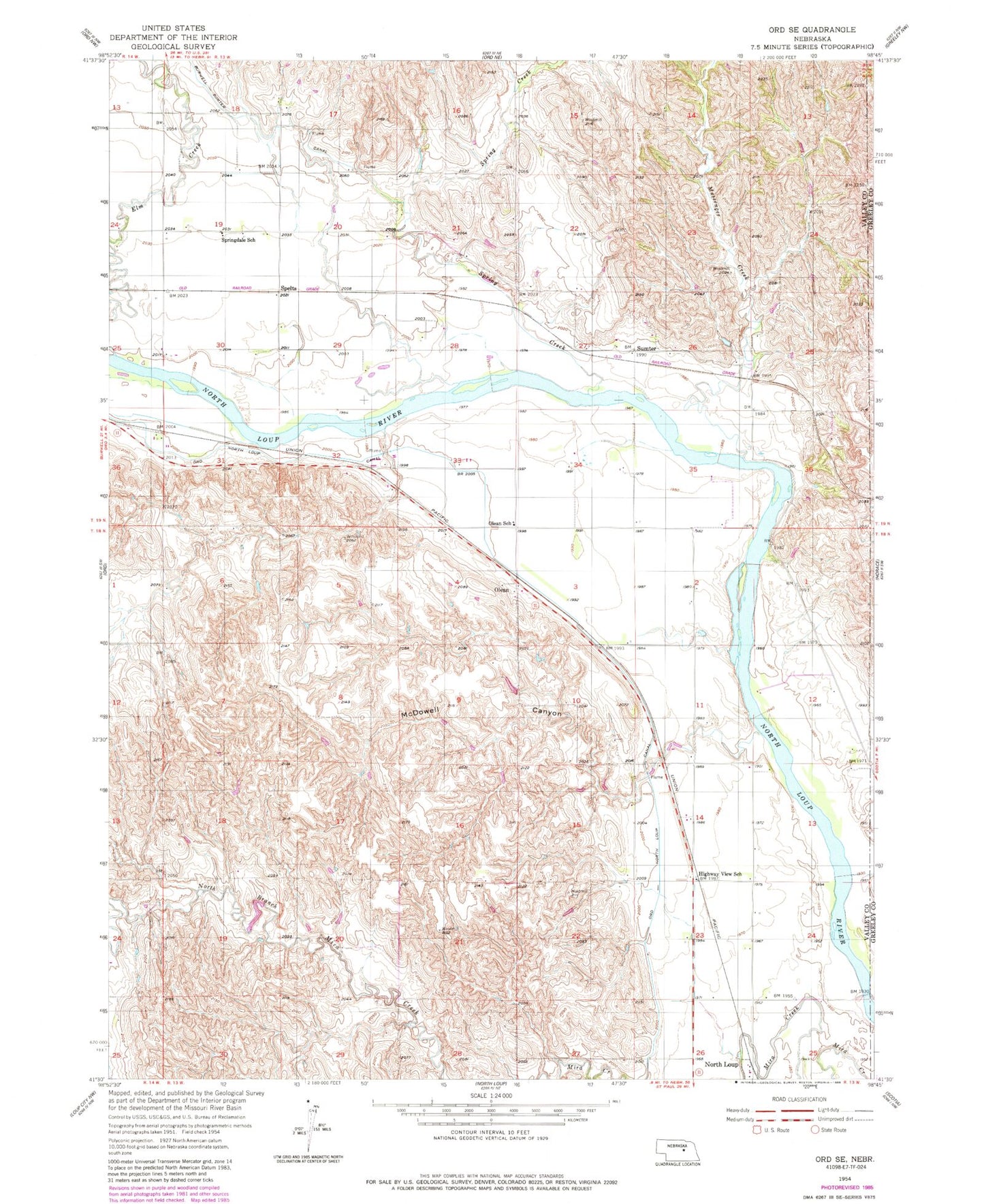
Classic USGS Ord SE Nebraska 7.5'x7.5' Topo Map
Couldn't load pickup availability
Historical USGS topographic quad map of Ord SE in the state of Nebraska. Map scale may vary for some years, but is generally around 1:24,000. Print size is approximately 24" x 27"
This quadrangle is in the following counties: Greeley, Valley.
The map contains contour lines, roads, rivers, towns, and lakes. Printed on high-quality waterproof paper with UV fade-resistant inks, and shipped rolled.
Contains the following named places: Bredthauer Dam, Bredthauer Reservoir, Elm Creek, Highway View School, Maiden Valley School, McDowell Canyon, Messenger Creek, Olean, Olean School, Ord-North Loup Canal, Riverdale School, Scotia Canal State Wildlife Management Area, Spelts, Spring Creek, Springdale School, Sumter, Sumter Post Office, Township of North Loup, Township of Springdale, Wolf Dam, Wolf Reservoir