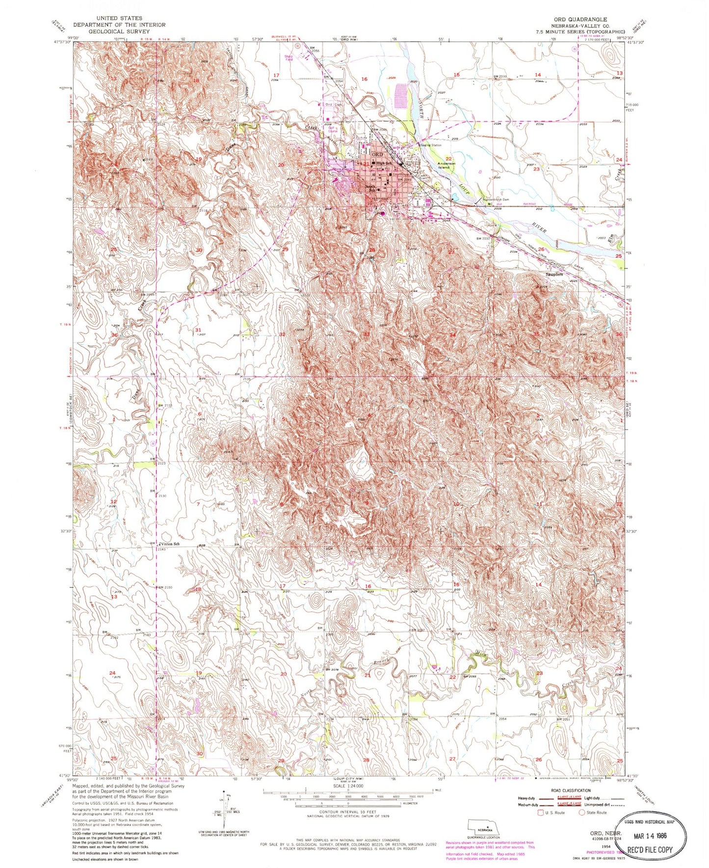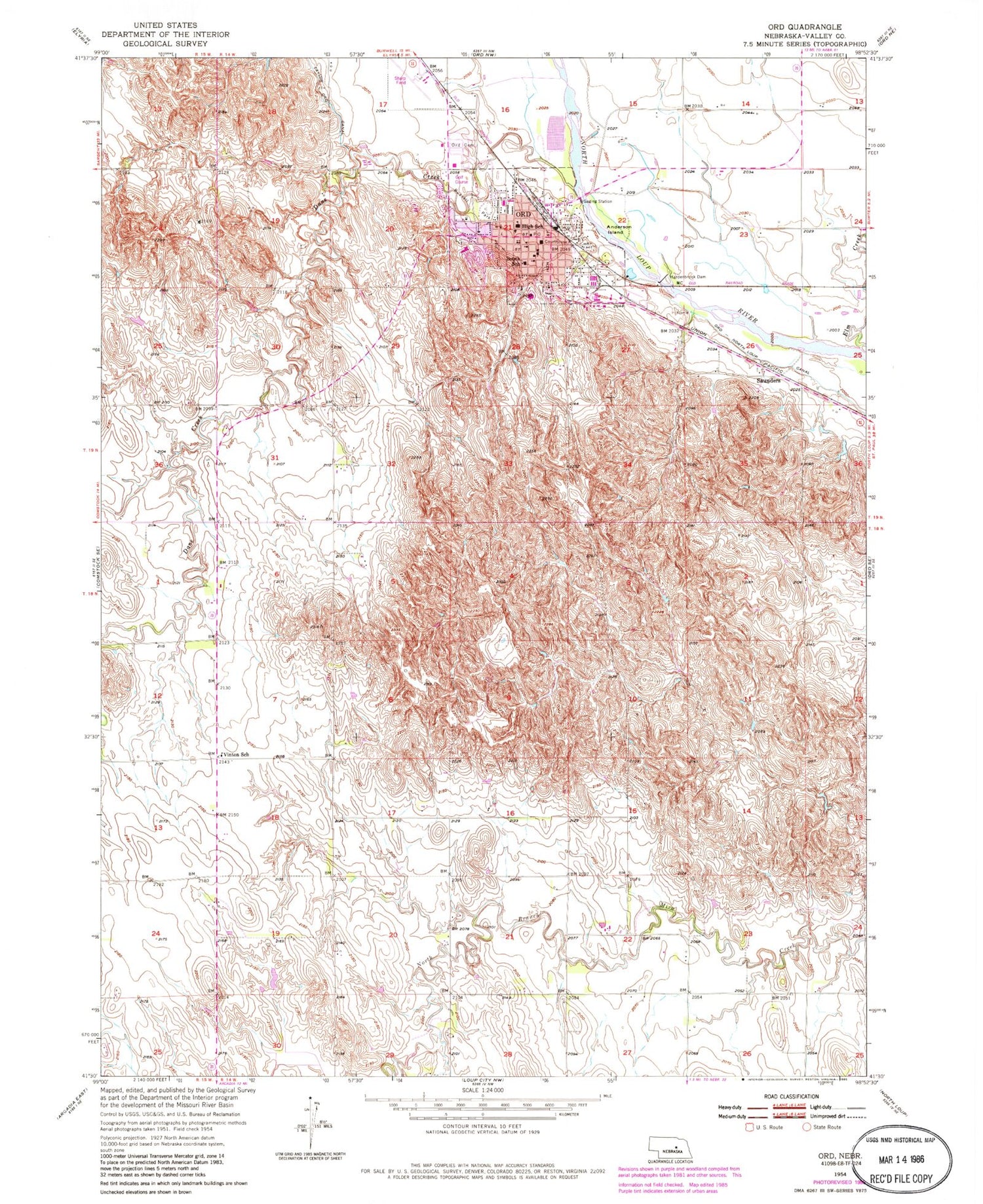
MyTopo
Classic USGS Ord Nebraska 7.5'x7.5' Topo Map
Couldn't load pickup availability
Historical USGS topographic quad map of Ord in the state of Nebraska. Map scale may vary for some years, but is generally around 1:24,000. Print size is approximately 24" x 27"
This quadrangle is in the following counties: Valley.
The map contains contour lines, roads, rivers, towns, and lakes. Printed on high-quality waterproof paper with UV fade-resistant inks, and shipped rolled.
Contains the following named places: Anderson Island, Assembly of God Church, Bethany Lutheran Church, Bethel Baptist Church, Brace School, Bussell Park, Bussell Park Campground, City of Ord, Dane Creek, Evangelical Free Church, Evelyn Sharp Field, Evelyn Sharp Historical Marker, Hardenbrook Dam, Hardenbrook Diversion Dam, Hardenbrook Diversion Reservoir, Hardscrabble School, Kittles Trailer Court, KNLV-AM (Ord), KNLV-FM (Ord), Loup Valley Mental Health Center, Manchester Trailer Court, Ord, Ord Cemetery, Ord Christian Church, Ord Elementary School, Ord Family Health Center, Ord Golf Club, Ord Junior-Senior High School, Ord Police Department, Ord Post Office, Ord Township Library, Ord Volunteer Fire Department, Our Lady of Perpetual Help Church, Presbyterian Church, Saint Johns Lutheran Church, Saint Marys School, Saunders, School Number 9, South School, Stevens Medical Clinic, Township of Enterprise, Township of Ord, United Methodist Church, Valley County, Valley County Courthouse, Valley County Fairgrounds, Valley County Hospital, Valley County Nursing Home, Valley County Sheriff's Office, Vinton, Vinton Post Office, Vinton School, Willow Springs Campground, ZIP Code: 68862