MyTopo
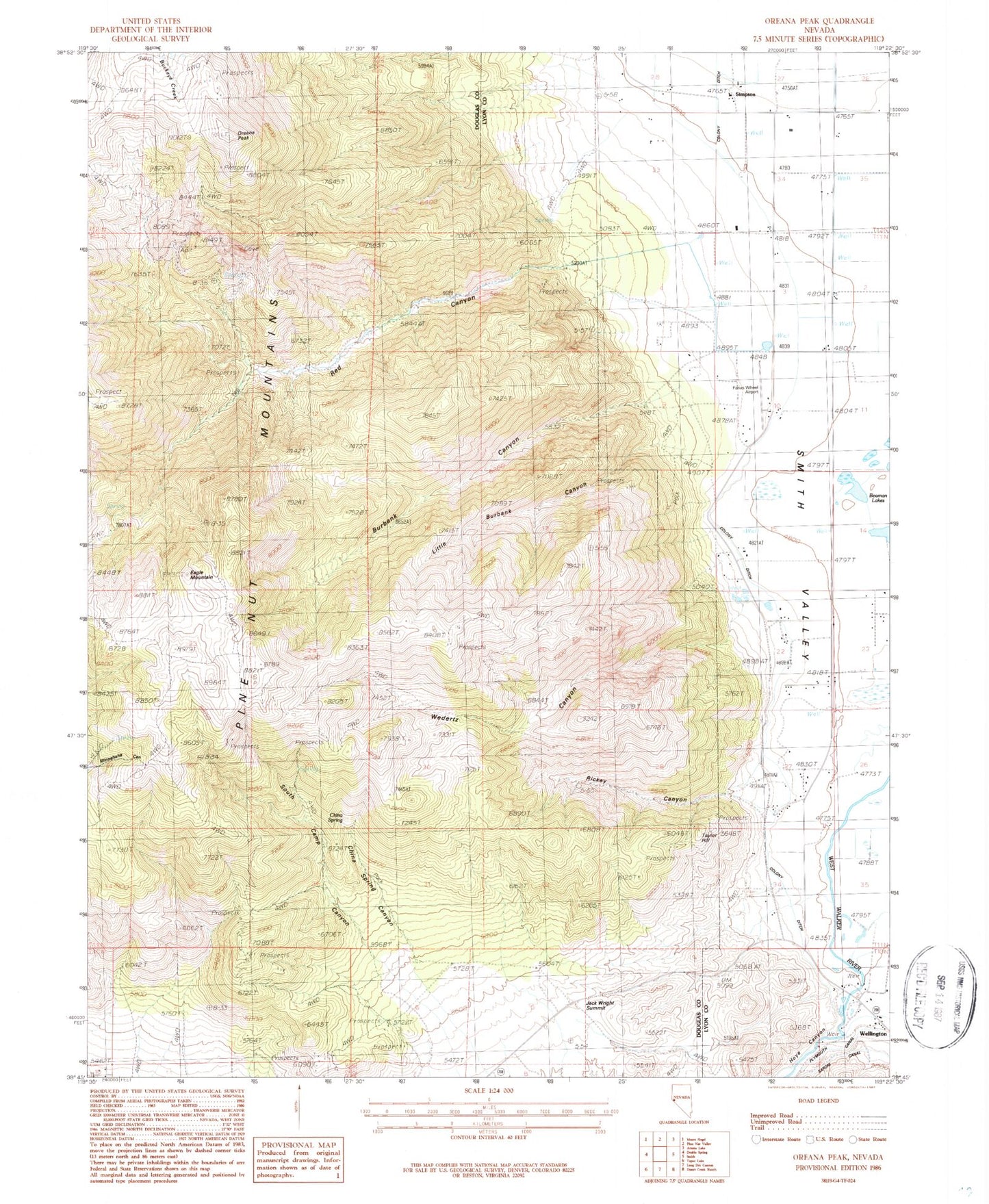
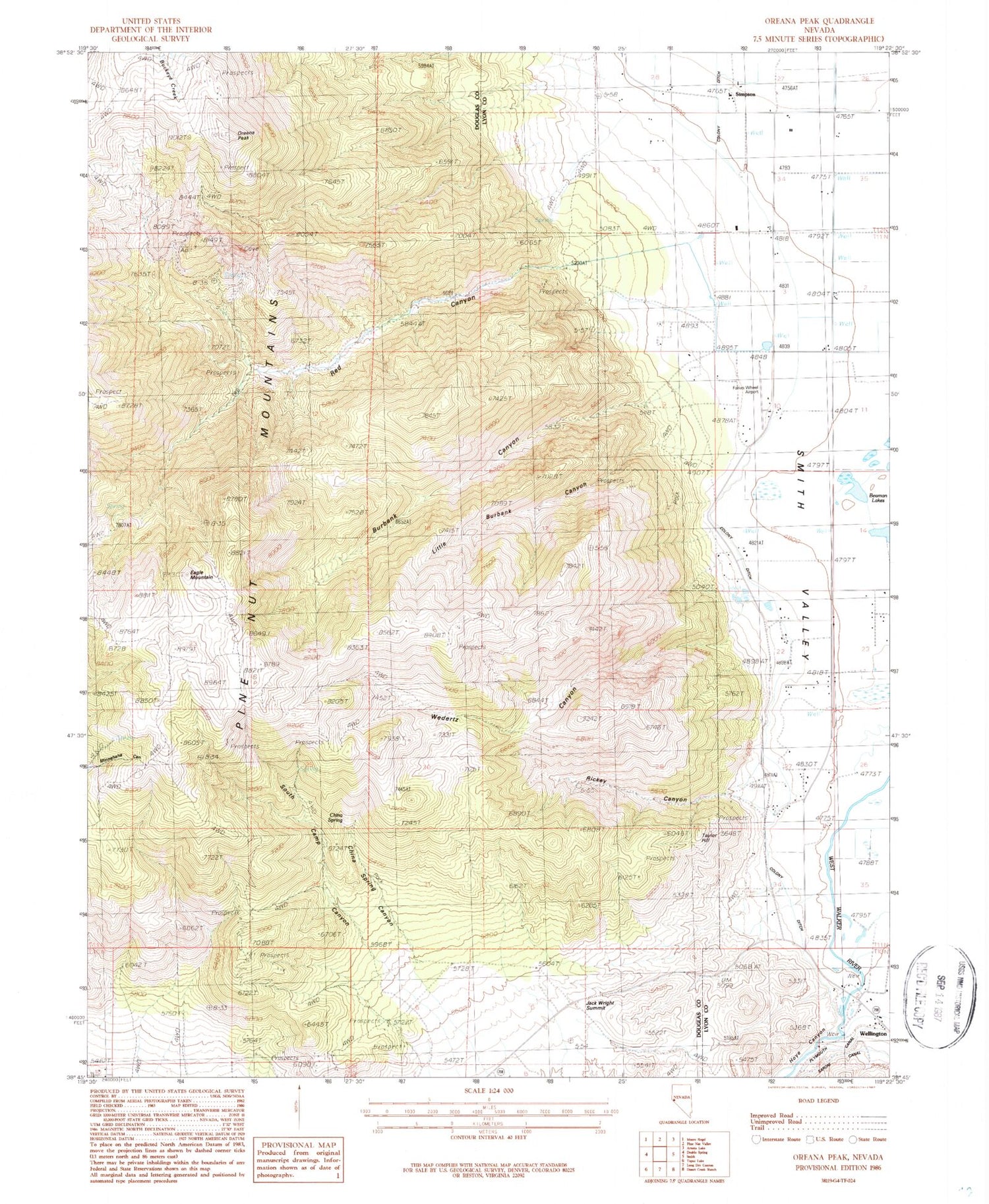
Classic USGS Oreana Peak Nevada 7.5'x7.5' Topo Map
Couldn't load pickup availability
Historical USGS topographic quad map of Oreana Peak in the state of Nevada. Typical map scale is 1:24,000, but may vary for certain years, if available. Print size: 24" x 27"
This quadrangle is in the following counties: Douglas, Lyon.
The map contains contour lines, roads, rivers, towns, and lakes. Printed on high-quality waterproof paper with UV fade-resistant inks, and shipped rolled.
Contains the following named places: Burbank Canyon, China Spring, China Spring Canyon, Jack Wright Summit, Little Burbank Canyon, Oreana Peak, Rickey Canyon, South Camp Canyon, Wedertz Canyon, Winters Mine, Taylor Hill, Hoye (historical), Acciari Ranch, Granton Ranch, Simpson Ranch, Wrights Bridge (historical), Valley View Landing Strip (historical), Silver Glance Mining District, Eagle Mountain, Red Canyon, Wellington, Yankee Girl Mine, Red Canyon Mine, Lucky Bill Mine, Taylor Hill Mine, Wyandotte Mine, Simpson, Hoye Canyon, South Camp Mine, Colony Ditch, Farias Wheel Airport, Simpson Post Office (historical), Wellington Post Office, Smith Valley Fire Protection District Station 41, Smith Valley Fire Protection District Station 42


