MyTopo
Classic USGS Oregon Butte Washington 7.5'x7.5' Topo Map
Couldn't load pickup availability
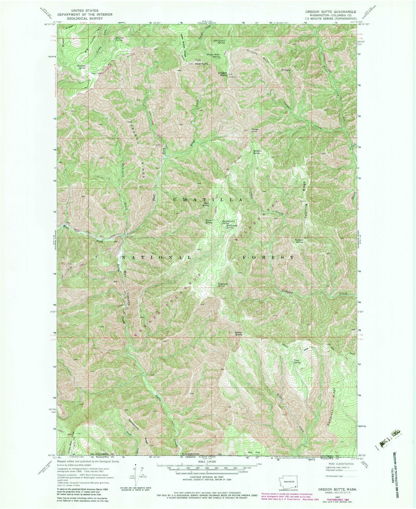
Historical USGS topographic quad map of Oregon Butte in the state of Washington. Typical map scale is 1:24,000, but may vary for certain years, if available. Print size: 24" x 27"
This quadrangle is in the following counties: Columbia.
The map contains contour lines, roads, rivers, towns, and lakes. Printed on high-quality waterproof paper with UV fade-resistant inks, and shipped rolled.
Contains the following named places: Grizzly Bear Ridge, Patterson Ridge, Rattlesnake Ridge, Wenaha-Tucannon Wilderness, Ant Flat, Box Canyon, Cougar Creek, Danger Point, Dickinson Creek, East Fork Butte Creek, Emergency Spring, French Ridge, Green Ridge, Grizzly Bear Ridge, Hatfield Spring, Huckleberry Spring, King Creek, Lodgepole Spring, McBain Spring, Oregon Butte Spring, Pearson Spring, Rettkowski Spring, Ruth Spring, Taylor Spring, Tepee Campground, Trout Creek, Twin Spring, West Butte Ridge, West Fork Butte Creek, Yearling Ridge, East Butte Creek Trail, Moolack Spring, Oregon Butte, Weller Butte, West Butte, Big Turkey Tail, Teepee Spring, Teepee Campground, Little Turkey Spring, Smooth Ridge Trail