MyTopo
Classic USGS Oregon Canyon Nevada 7.5'x7.5' Topo Map
Regular price
$16.95
Regular price
Sale price
$16.95
Unit price
per
Couldn't load pickup availability
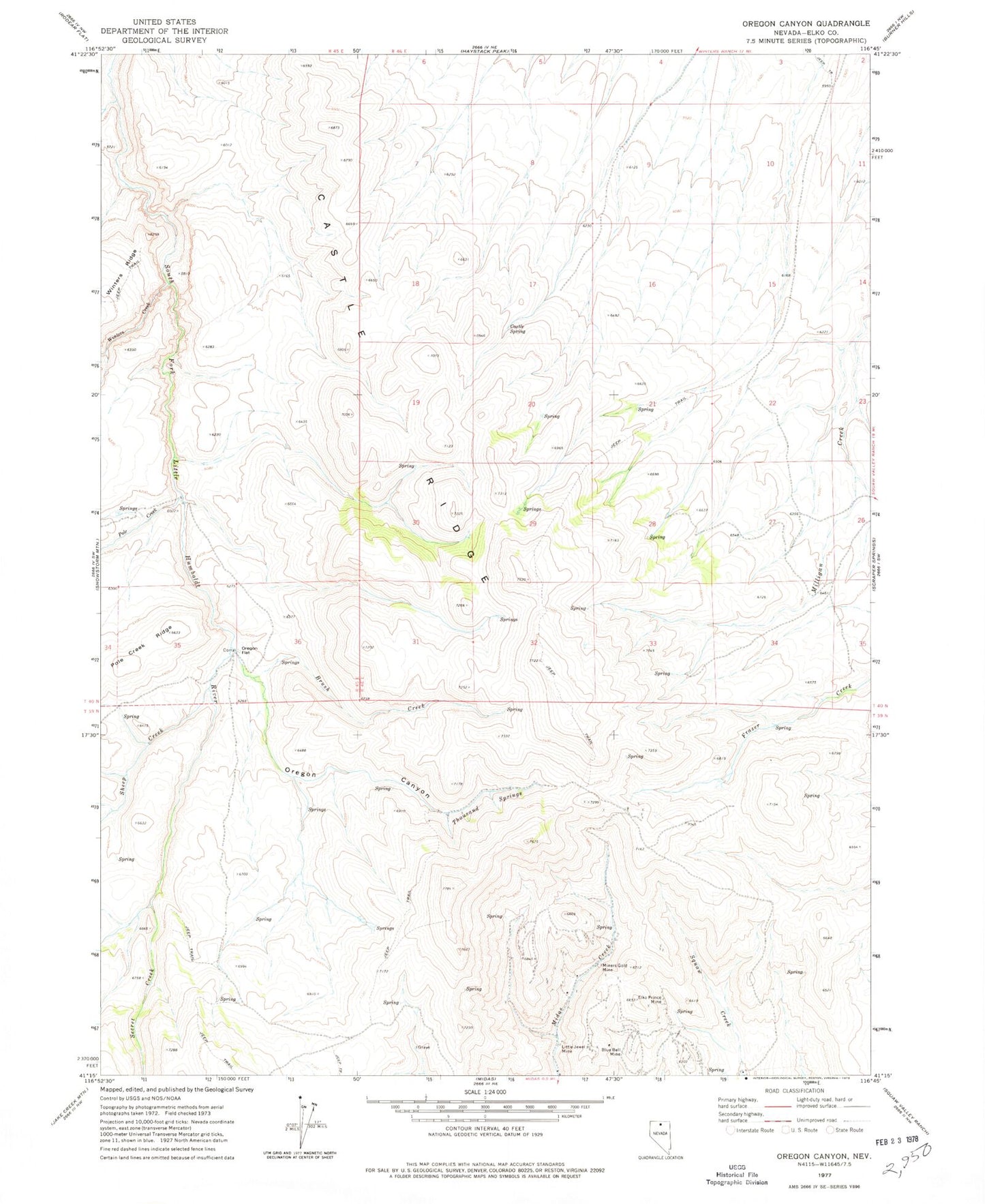
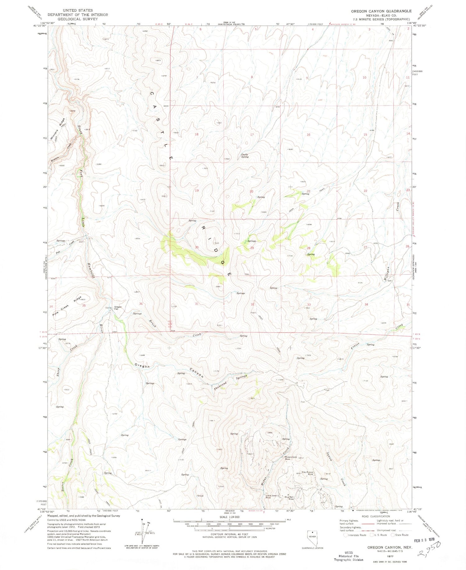
Historical USGS topographic quad map of Oregon Canyon in the state of Nevada. Map scale may vary for some years, but is generally around 1:24,000. Print size is approximately 24" x 27"
This quadrangle is in the following counties: Elko.
The map contains contour lines, roads, rivers, towns, and lakes. Printed on high-quality waterproof paper with UV fade-resistant inks, and shipped rolled.
Contains the following named places: Blue Bell Mine, Brush Creek, Castle Ridge, Castle Spring, Elko Prince Mine, June Bell Mine, Little Jewell Mine, Miners Gold Mine, Myers Ranch, Oregon Canyon, Oregon Flat, Pole Creek, Secret Creek, Sheep Creek, Thousand Springs, Water Witch Mine, Winters Creek