MyTopo
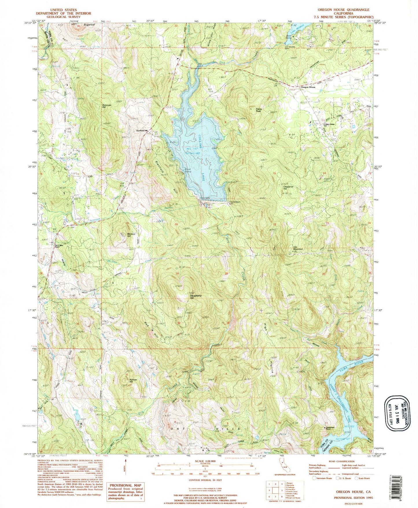
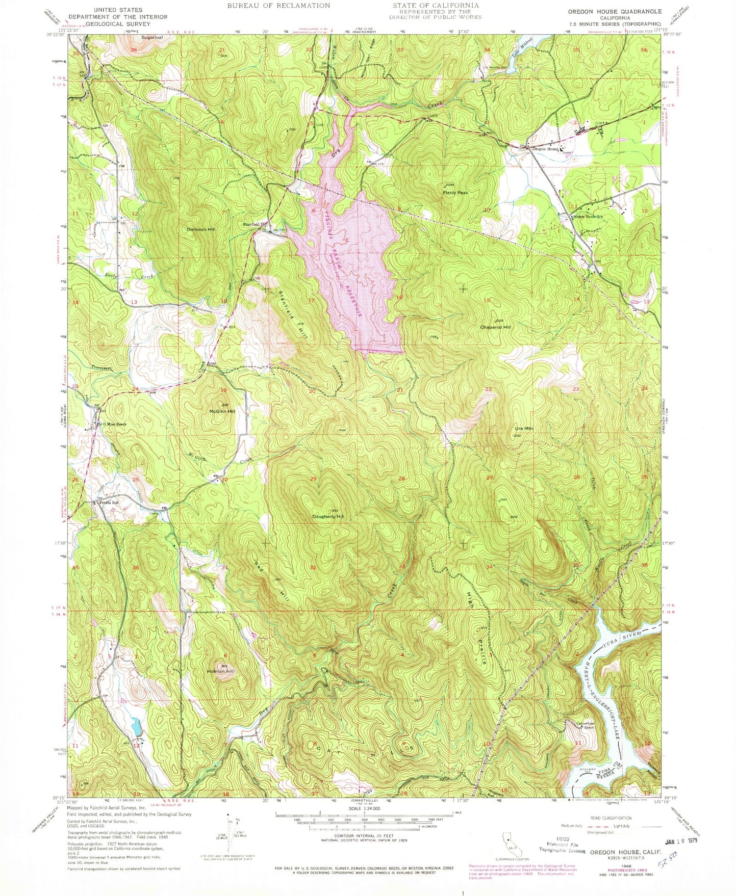
Classic USGS Oregon House California 7.5'x7.5' Topo Map
Couldn't load pickup availability
Historical USGS topographic quad map of Oregon House in the state of California. Map scale may vary for some years, but is generally around 1:24,000. Print size is approximately 24" x 27"
This quadrangle is in the following counties: Butte, Nevada, Yuba.
The map contains contour lines, roads, rivers, towns, and lakes. Printed on high-quality waterproof paper with UV fade-resistant inks, and shipped rolled.
Contains the following named places: Browns Valley Ditch, Carmichael Ranch, Chaparral Hill, Collins Lake Recreation Area, Daugherty Hill, Dobbins - Oregon House Fire Protection District, Donovan Hill, Double Tree Farm Airport, Flanly Peak, High Prairie, Holman Hill, Injun Creek, Keystone Ravine, Lake Mildred, Los Verjeles Dam, McGinn Creek, McGinn Hill, Merle Collins Reservoir, Negro Bar Creek, Oak Grove, Oat Hills, Old Aerodrome, Oregon House, Oregon House Post Office, Oregon House School, Pal O Mine Ranch, Peoria School, Rancho Loma Rica, Red Hill, Stanfield Hill, Sugarloaf, Thousand Trails Campground, Ure Mountain, Virginia Ranch, Virginia Ranch 1021 Dam, Virginia Ranch Reservoir, Willow Glen Creek, Woods Creek, Yuba County, ZIP Codes: 95918, 95962


