MyTopo
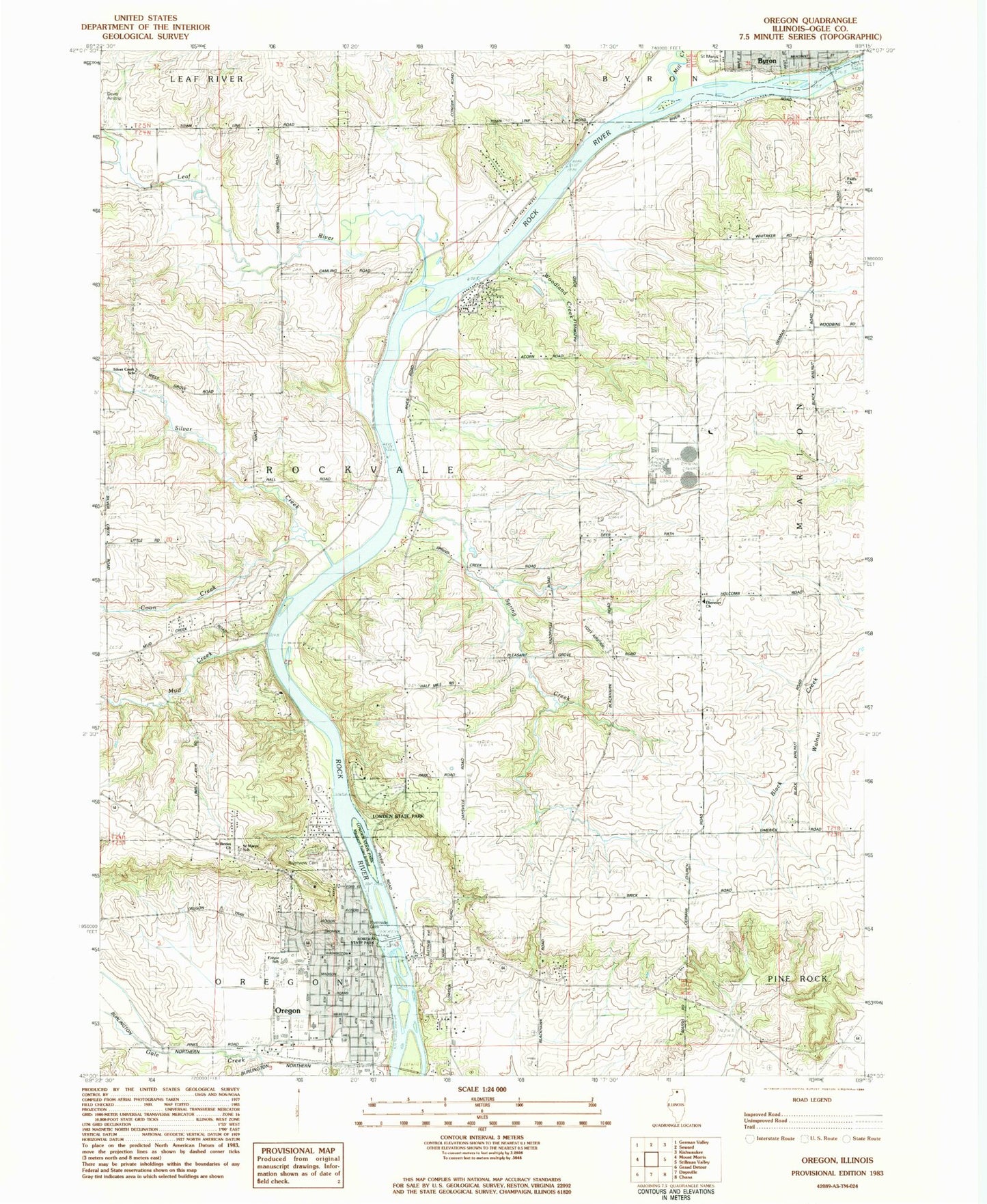
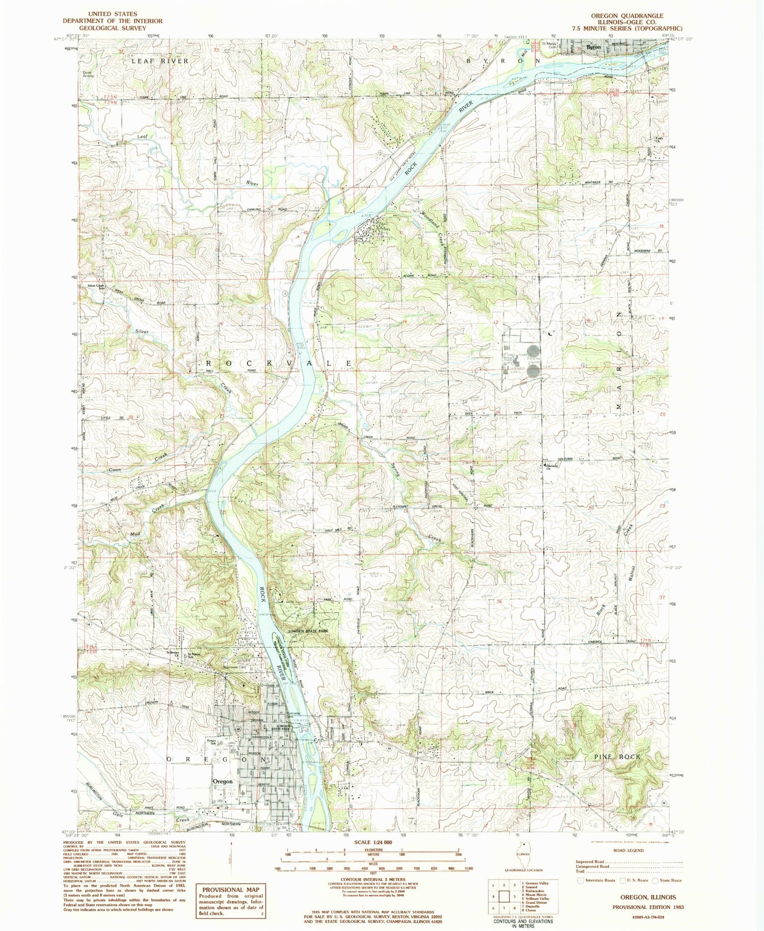
Classic USGS Oregon Illinois 7.5'x7.5' Topo Map
Couldn't load pickup availability
Historical USGS topographic quad map of Oregon in the state of Illinois. Map scale may vary for some years, but is generally around 1:24,000. Print size is approximately 24" x 27"
This quadrangle is in the following counties: Ogle.
The map contains contour lines, roads, rivers, towns, and lakes. Printed on high-quality waterproof paper with UV fade-resistant inks, and shipped rolled.
Contains the following named places: Brooklyn School, Byron Nuclear Plant, Camling Cemetery, Church of the Nazarene, City of Byron, City of Oregon, Coon Creek, Crowell School, Duane E Davis Airport, Ebenezer Cemetery, Ebenezer Reformed Church, Entyre School, Faith Church, First Baptist Church, First Presbyterian Church, Jarrett Prairie Nature Preserve, Jefferson Elementary School, Junction School, Leaf River, Lowden State Park, Lunn Seaplane Base, Margaret Fuller Island, Mill Creek, Mud Creek, Ogle County, Ogle County Courthouse, Ogle County Sheriff's Office, Oregon, Oregon Bible College, Oregon Dam, Oregon Fire Protection District Ambulance Service, Oregon Fire Protection District Headquarters Station 1, Oregon Golf Club, Oregon High School, Oregon Police Department, Oregon Post Office, Oregon United Methodist Church, Pine Rock Nature Preserve, Pleasant Grove School, Prairie View Golf Course, Riverside Cemetery, Riverview Cemetery, Riverview School, Rock River, Rockvale Heights School, Saint Brides Church, Saint Mary Catholic Church, Saint Mary's Cemetery, Saint Marys School, Saint Paul Lutheran Church, Seitz Quarry, Silver Creek, Silver Creek School, Silver Ridge Golf Course, Spring Creek, Stone School, Sunshine Park, Township of Oregon, Township of Rockvale, Waite School, Whitaker School, White Oak Campground, Woodland Creek, Yost Airstrip


