MyTopo
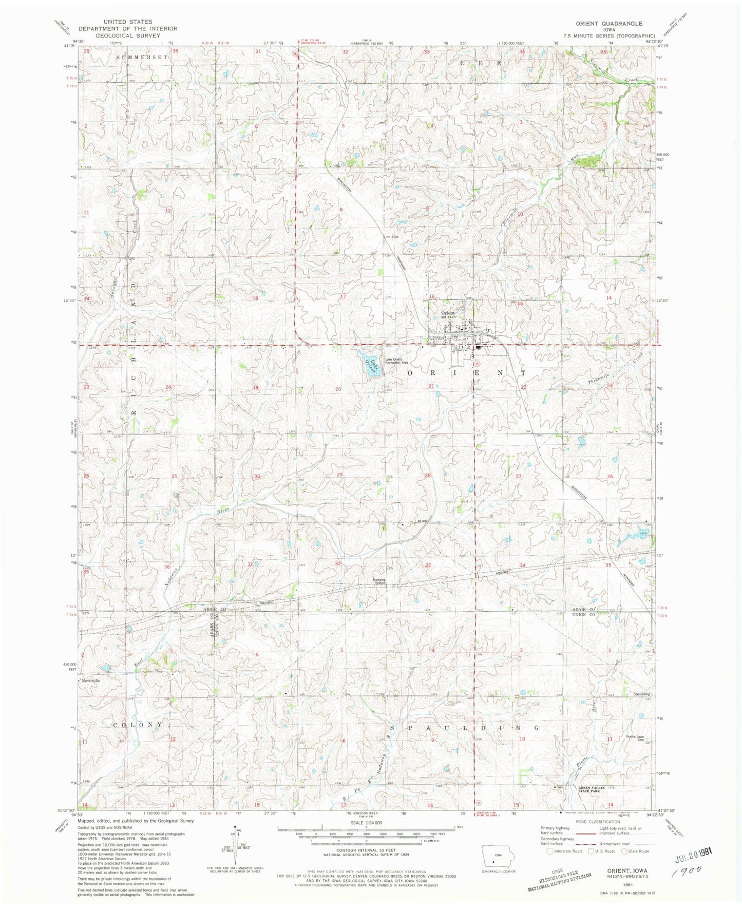
Classic USGS Orient Iowa 7.5'x7.5' Topo Map
Couldn't load pickup availability
Historical USGS topographic quad map of Orient in the state of Iowa. Map scale may vary for some years, but is generally around 1:24,000. Print size is approximately 24" x 27"
This quadrangle is in the following counties: Adair, Adams, Union.
The map contains contour lines, roads, rivers, towns, and lakes. Printed on high-quality waterproof paper with UV fade-resistant inks, and shipped rolled.
Contains the following named places: ABC City Park, Bank of Memories, City of Orient, Drakes Post Office, Henry E Wallace Dam, Lake Orient, Lake Orient Recreation Area, Orient, Orient - Macksburg Community Schools, Orient - Macksburg Senior High School, Orient Cemetery, Orient City Hall, Orient Post Office, Orient United Methodist Church, Orient Volunteer Fire Department, Prairie Lawn Cemetery, Site on Mormon Trail - Proposed West Iowa Boundary Historical Marker, Township of Orient, United Church of Christ, Vino Post Office, ZIP Code: 50858