MyTopo
Classic USGS Oriskany Falls New York 7.5'x7.5' Topo Map
Couldn't load pickup availability
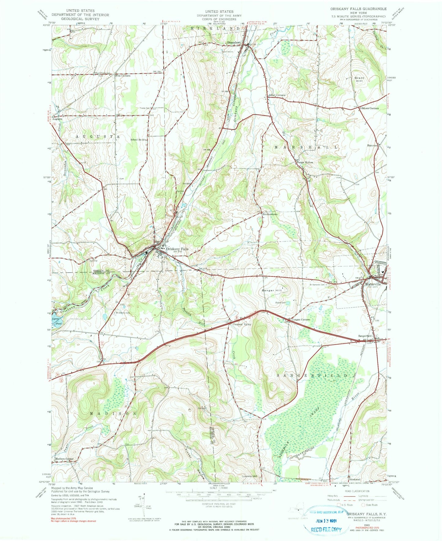
Historical USGS topographic quad map of Oriskany Falls in the state of New York. Map scale may vary for some years, but is generally around 1:24,000. Print size is approximately 24" x 27"
This quadrangle is in the following counties: Madison, Oneida.
The map contains contour lines, roads, rivers, towns, and lakes. Printed on high-quality waterproof paper with UV fade-resistant inks, and shipped rolled.
Contains the following named places: Alcott Greenhouses, Barker Brook Golf Club, Big Creek, Brothertown, Buckley Mill Creek, C W Clark Memorial Library, Conger Corners, Deansboro, Deansboro Congregational United Church of Christ, Deansboro Fire Department Barton Hose Company, Deansboro Post Office, First Baptist Church, First Presbyterian Church, Five Corners, Forge Hollow, Gibbons Corners, Grace Episcopal Church, Grant Hill, Hanover, Harding Nursing Home, Loomis Hill, Lyons Pond, Madison Center, Oriskany Falls, Oriskany Falls Fire Department, Oriskany Falls Post Office, Oriskany Falls Quarry, Oriskany Falls Wastewater Treatment Plant, O'Toole's Cemetery, Pleasant Valley, Saint Bernard's Cemetery, Saint Josephs Cemetery, Sanger Hill, Sangerfield, Sangerfield Post Office, School Number 10, Signal Mobile Home Park, Small Corners, Stockwell Farms, Thistle Cemetery, Town of Marshall, Town of Sangerfield, Village of Oriskany Falls, Village of Waterville, Waterville, Waterville Baptist Church, Waterville Central School, Waterville High School, Waterville Municipal Building, Waterville Post Office, Waterville Public Library, Waterville Village Cemetery, Waterville Village Sewage Treatment Plant, Waterville Volunteer Fire Department Engine House, ZIP Codes: 13328, 13425


