
MyTopo
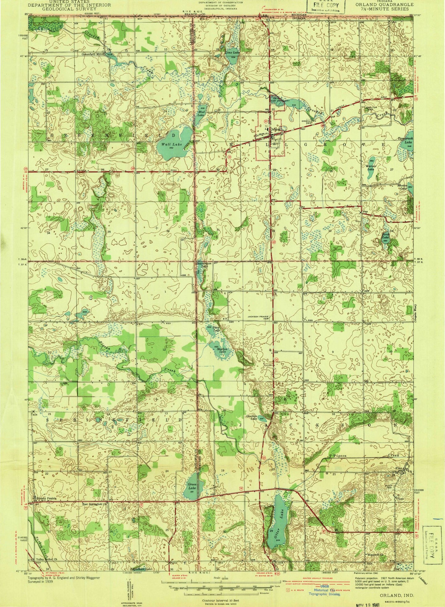
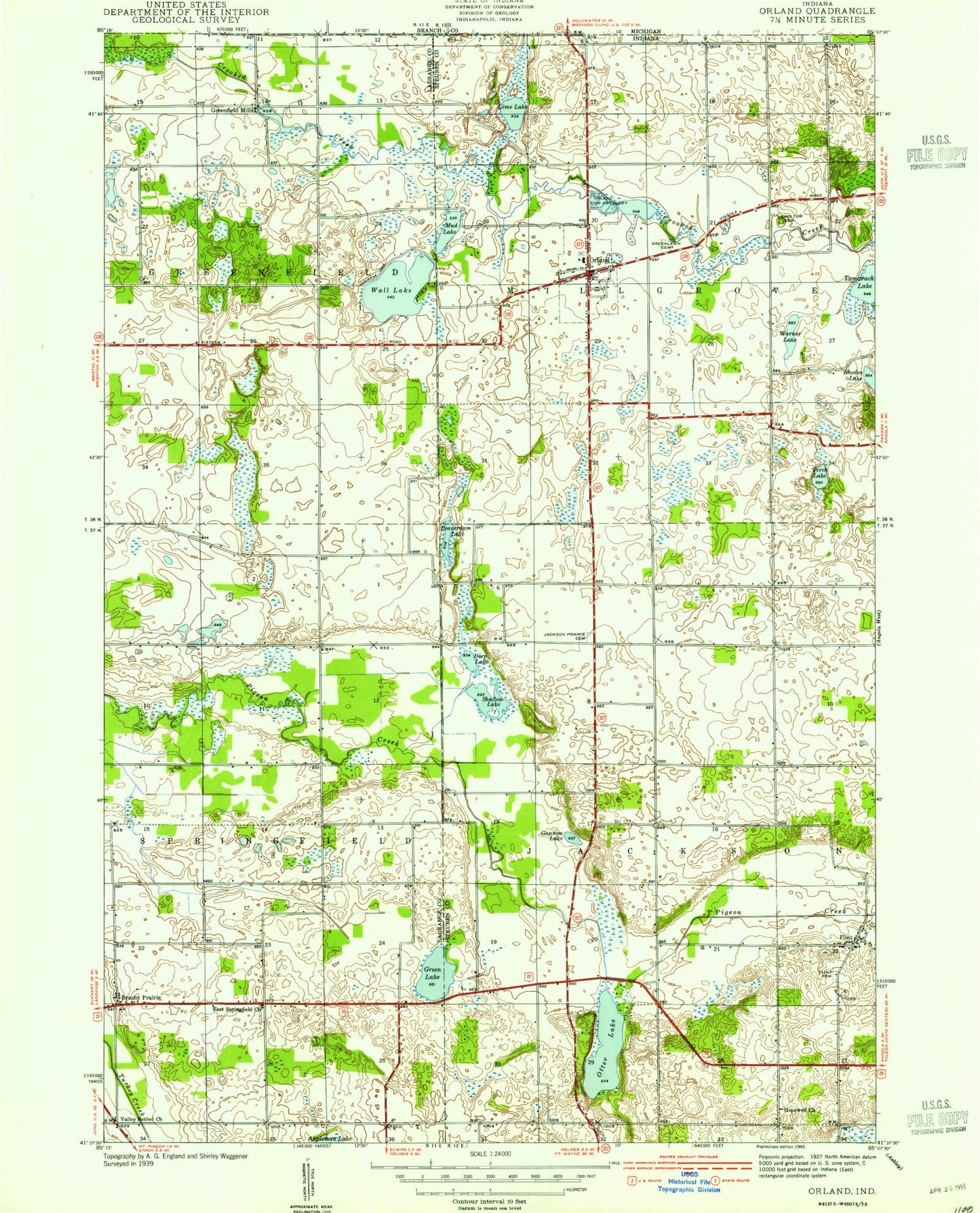
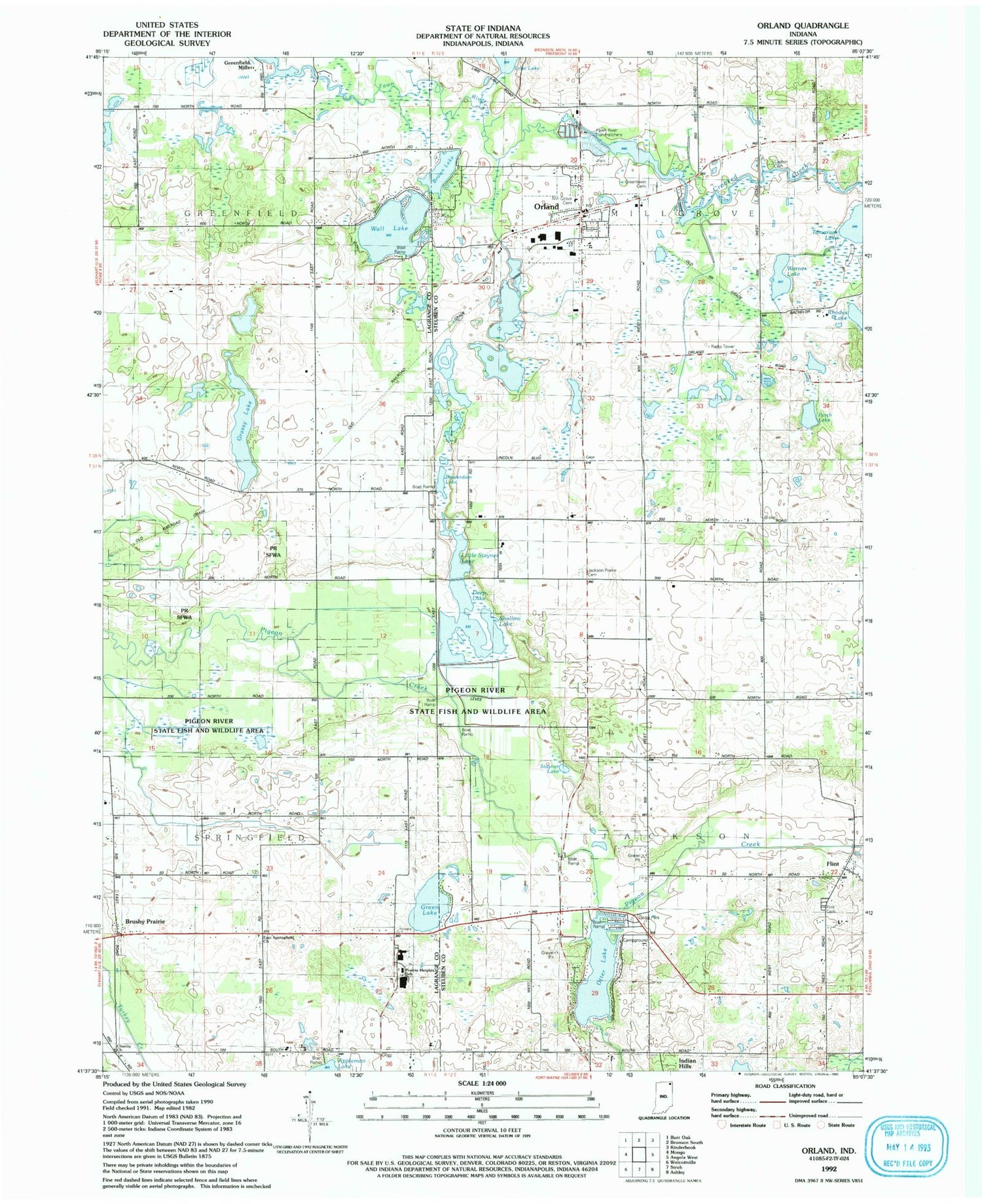
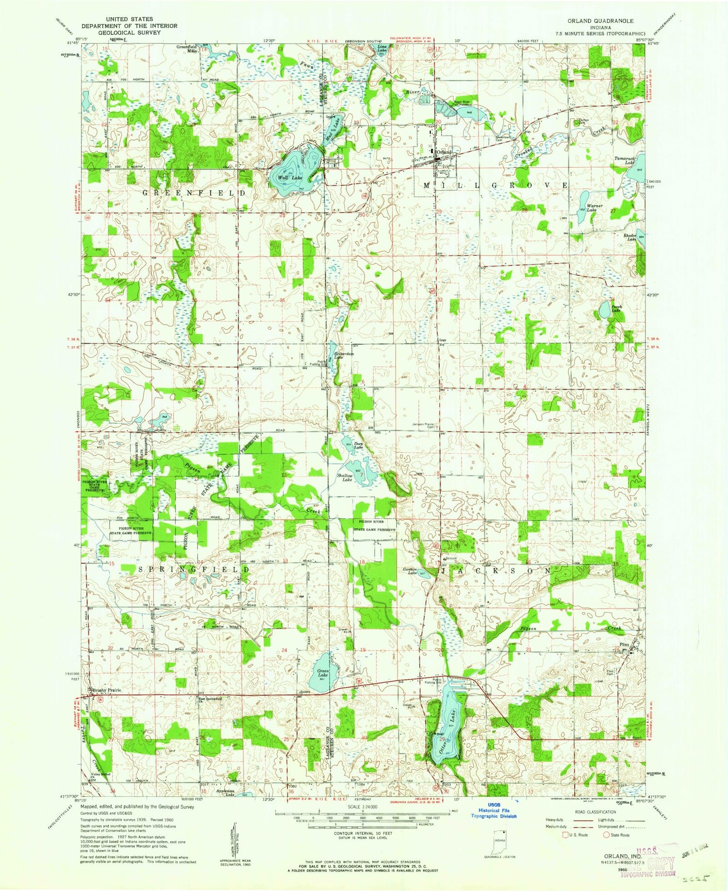
Classic USGS Orland Indiana 7.5'x7.5' Topo Map
Couldn't load pickup availability
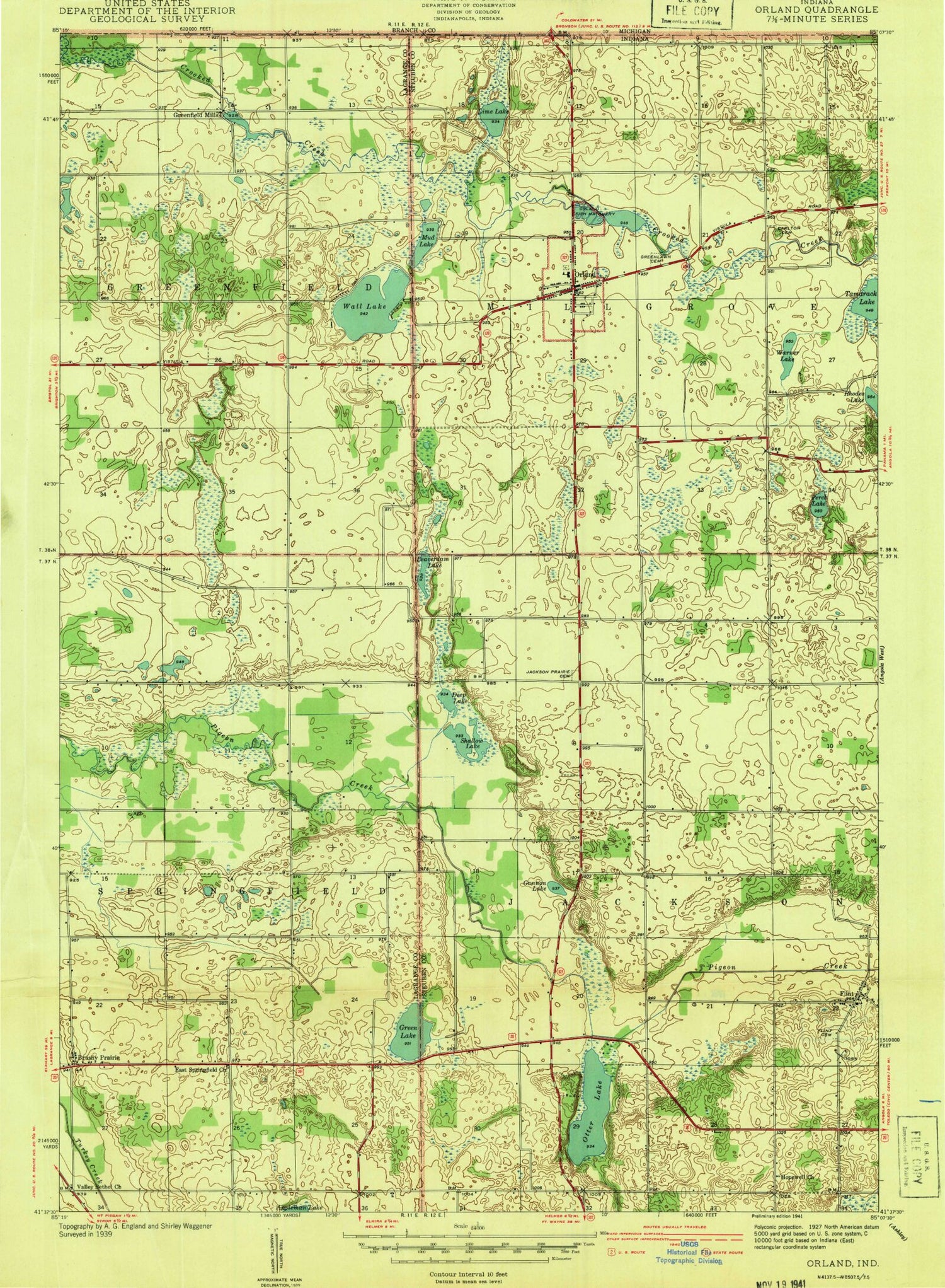
Historical USGS topographic quad map of Orland in the state of Indiana. Map scale may vary for some years, but is generally around 1:24,000. Print size is approximately 24" x 27"
This quadrangle is in the following counties: LaGrange, Steuben.
The map contains contour lines, roads, rivers, towns, and lakes. Printed on high-quality waterproof paper with UV fade-resistant inks, and shipped rolled.
Contains the following named places: Beaverdam Lake, Brown Lake, Brushy Prairie, Carlton Cemetery, Charity United Baptist Church, Crooked Creek, Deep Lake, East Springfield Church, East Springfield United Methodist Cemetery, East Springfield United Methodist Church, Fawn River Fish Hatchery, Flint, Flint Cemetery, Grassy Lake, Green Lake, Greenlawn Cemetery, Jackson Prairie Cemetery, Mill Grove Cemetery, Orland, Orland Post Office, Orland Volunteer Fire Department and Rescue, Otter Lake, Perch Lake, Prairie Heights School, Rhodes Lake, Shallow Lake, Stayner Lake, Tamarack Lake, Town of Orland, Township of Jackson, Township of Millgrove, Wall Lake, Warner Lake, ZIP Code: 46776