MyTopo
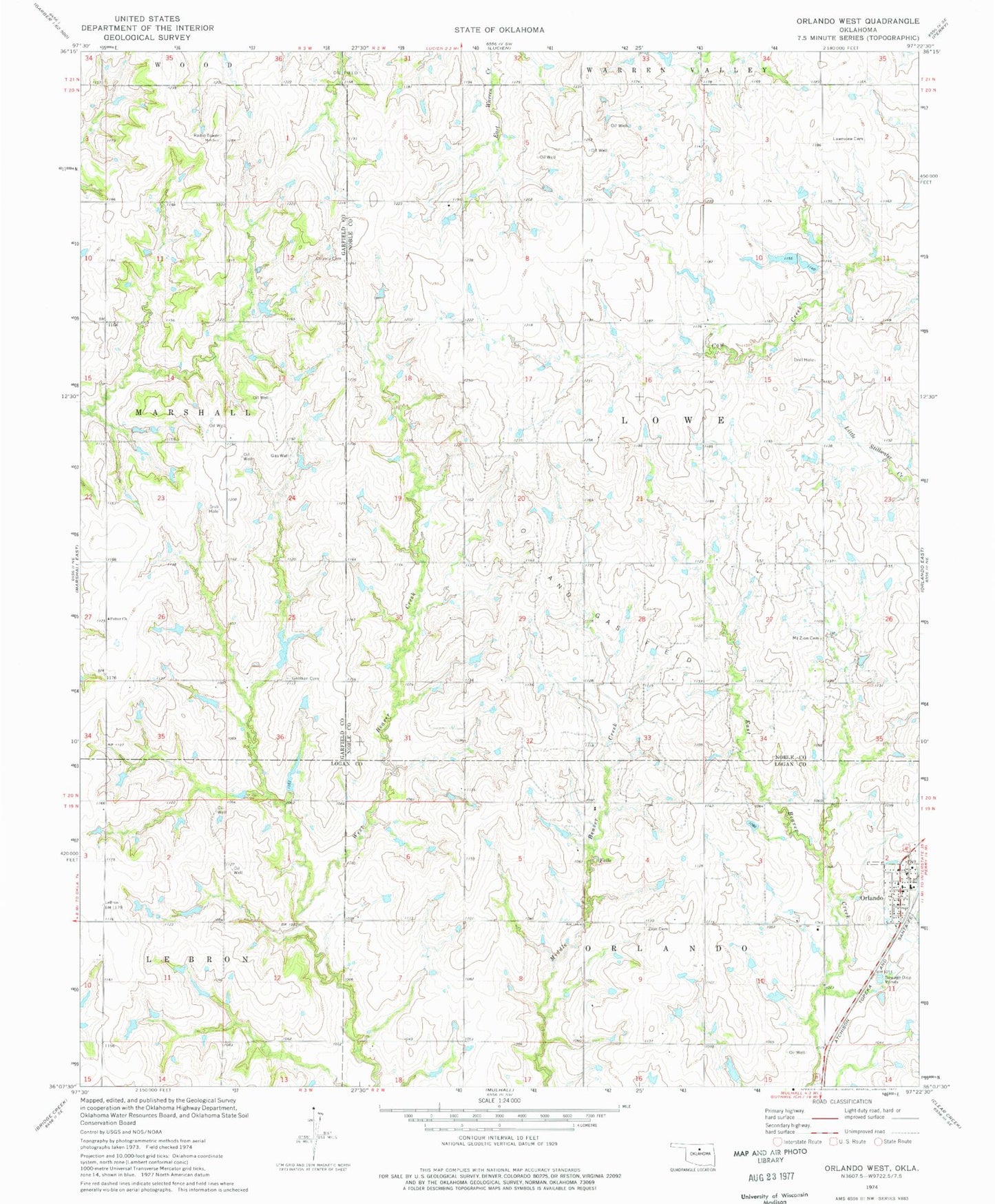
Classic USGS Orlando West Oklahoma 7.5'x7.5' Topo Map
Couldn't load pickup availability
Historical USGS topographic quad map of Orlando West in the state of Oklahoma. Map scale may vary for some years, but is generally around 1:24,000. Print size is approximately 24" x 27"
This quadrangle is in the following counties: Garfield, Logan, Noble.
The map contains contour lines, roads, rivers, towns, and lakes. Printed on high-quality waterproof paper with UV fade-resistant inks, and shipped rolled.
Contains the following named places: German Cemetery, Lawnview Cemetery, Mount Zion Cemetery, Oknoname 083041 Dam, Oknoname 083041 Reservoir, Oknoname 103002 Dam, Oknoname 103002 Reservoir, Oknoname 103003 Dam, Oknoname 103003 Reservoir, Orlando, Orlando Post Office, Orlando Rural Fire Department, Pioneer Cemetery, Potter Church, Township of Lowe, Zion Cemetery, ZIP Code: 73073