MyTopo
Classic USGS Orlando West Virginia 7.5'x7.5' Topo Map
Couldn't load pickup availability
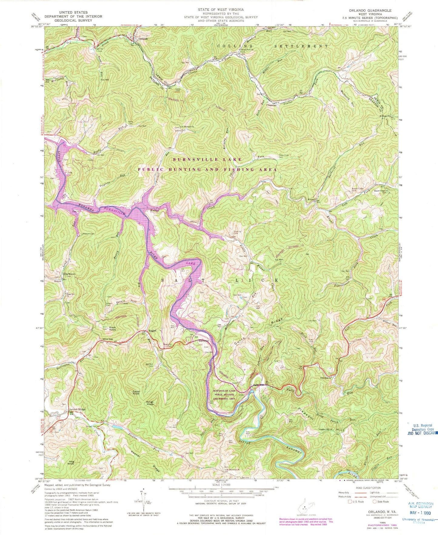
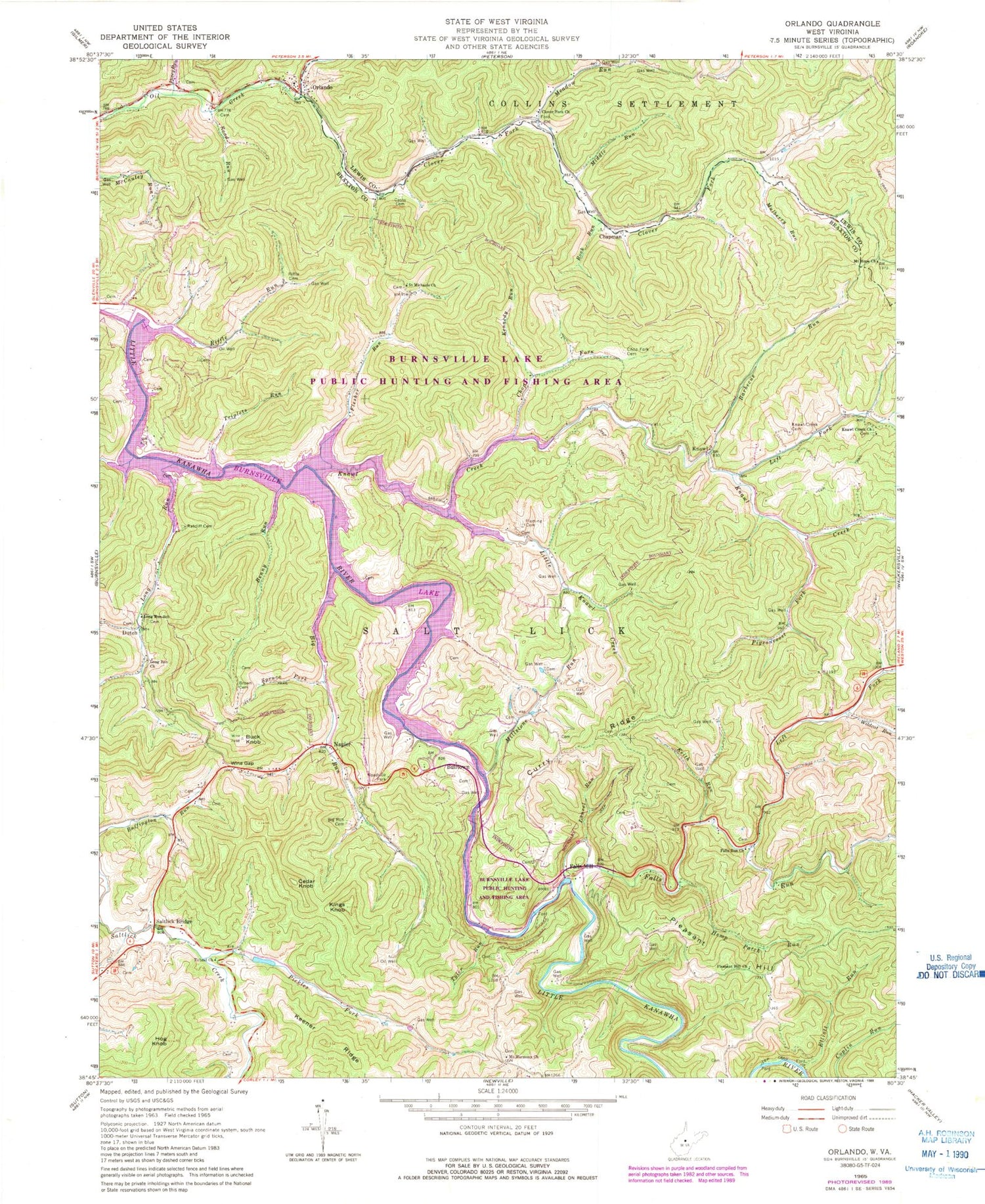
Historical USGS topographic quad map of Orlando in the state of West Virginia. Typical map scale is 1:24,000, but may vary for certain years, if available. Print size: 24" x 27"
This quadrangle is in the following counties: Braxton, Lewis.
The map contains contour lines, roads, rivers, towns, and lakes. Printed on high-quality waterproof paper with UV fade-resistant inks, and shipped rolled.
Contains the following named places: Barbecue Run, Benny Run, Big Run, Big Run Cemetery, Brown Cemetery, Buck Knob, Casto Cemetery, Chop Fork, Chop Fork Cemetery, Clover Fork, Clover Fork Church, Curry Ridge, Elliott Run, Falls Run, Falls Run Church, Fleming Cemetery, Flesher Run, Hemp Patch Run, Hog Knob, Keener Ridge, Keith Run, Kennedy Run, Kings Knob, Knawl Creek, Knawl Creek Cemetery, Knawl Creek Church, Laurel Run, Left Fork Falls Run, Left Fork Knawl Creek, Little Knawl Creek, Long Run Church, Long Run School (historical), Meadow Run, Middle Run, Millstone Run, Mount Harmony Church, Mount Hope Church, Mulberry Run, Olive Chapel, Pickles Fork, Pigeonroost Fork, Pleasant Hill, Pleasant Hill Church, Posey Run, Ratcliff Cemetery, Riffle Cemetery, Riffle Run, Riffle School (historical), Road Run, Rock Run, Saint Michaels Church, Saltlick Bridge, Spruce Fork, Threelick Run, Tichnel Church, Triplets Run, Tyler Run, Wildcat Run, Wine Gap, Kanawha Chapel, Long Run, Dutch, Knawl, Napier, Orlando, Bulltown, Cedar Knob, Chapman, Falls Mill, Saltlick Creek Structure Number Four Dam, Saltlick Creek Structure Number Six Dam, Burnsville Lake Dam, Burnsville Lake, Skinner Spring, Barbecue Run School (historical), Knawl Creek School (historical), Knawl School (historical), Little Knawl Creek School (historical), Lower Big Run School (historical), McCauley Run School (historical), Mudlick School (historical), Peyton Riffle School (historical), Pleasant Hill School (historical), Riffle School (historical), Singleton School (historical), Upper Big Run School (historical), Warner School (historical), Clover Fork School (historical), Upper Clover Fork School (historical), Burnsville Lake Wildlife Management Area, Napier Post Office, Riffle Run Recreation Area, Orlando Post Office, Northern District, Highwood Cemetery, Bulltown Bridge


