MyTopo
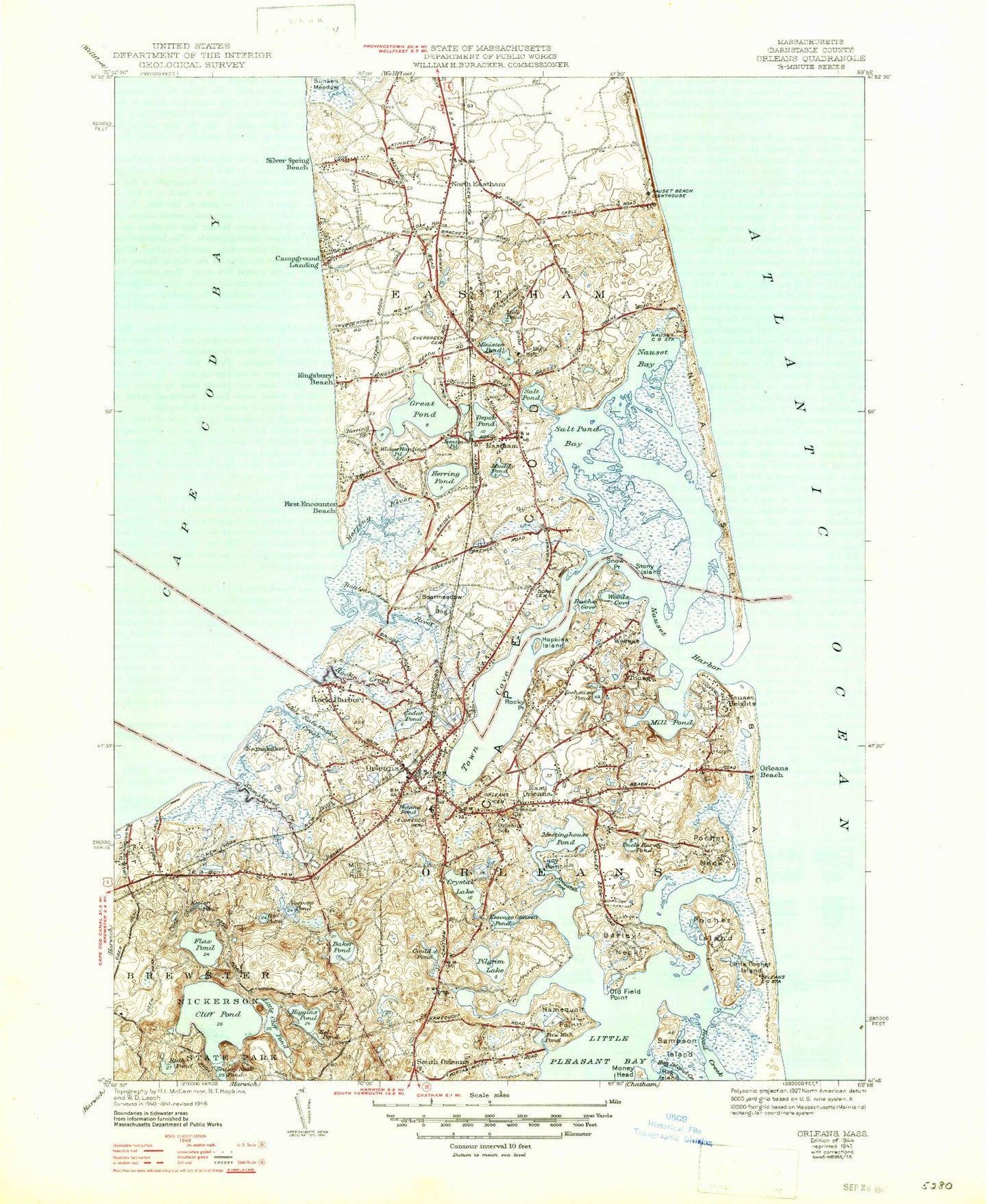
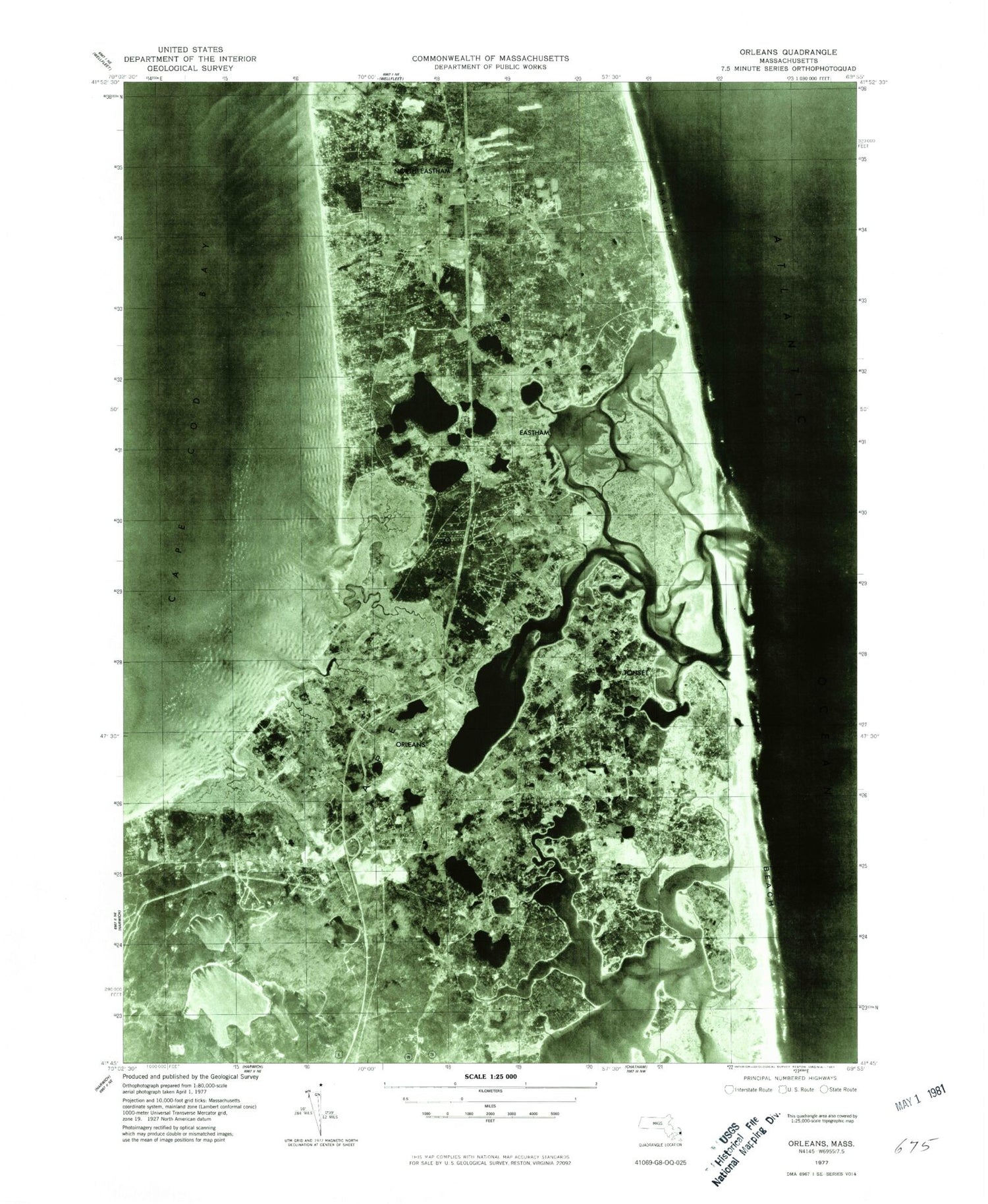
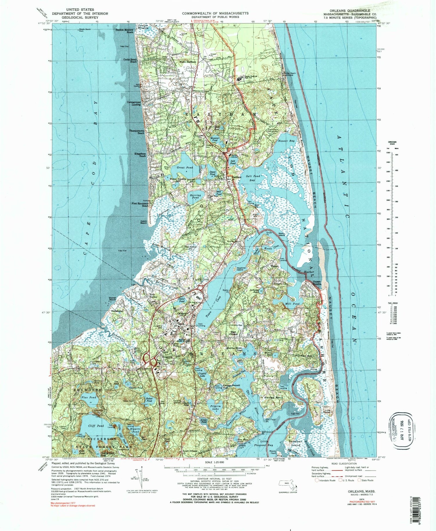
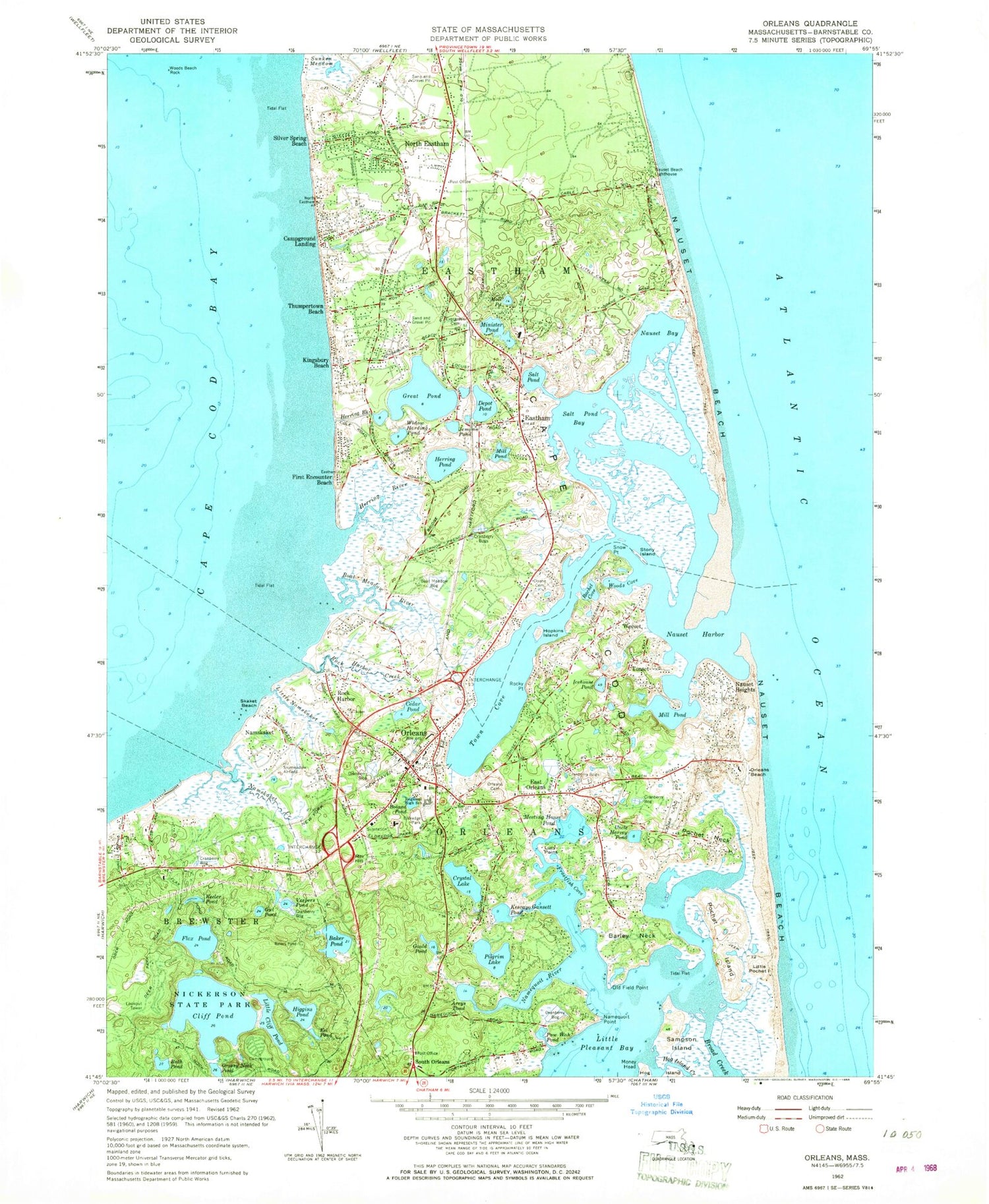
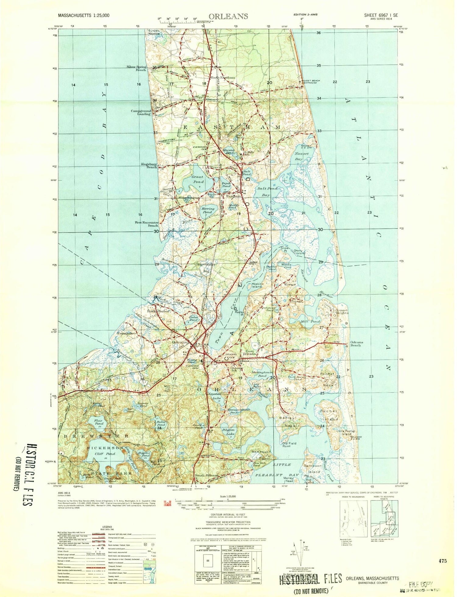
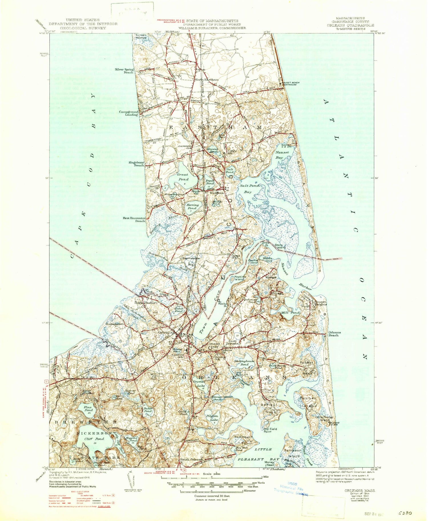
Classic USGS Orleans Massachusetts 7.5'x7.5' Topo Map
Couldn't load pickup availability
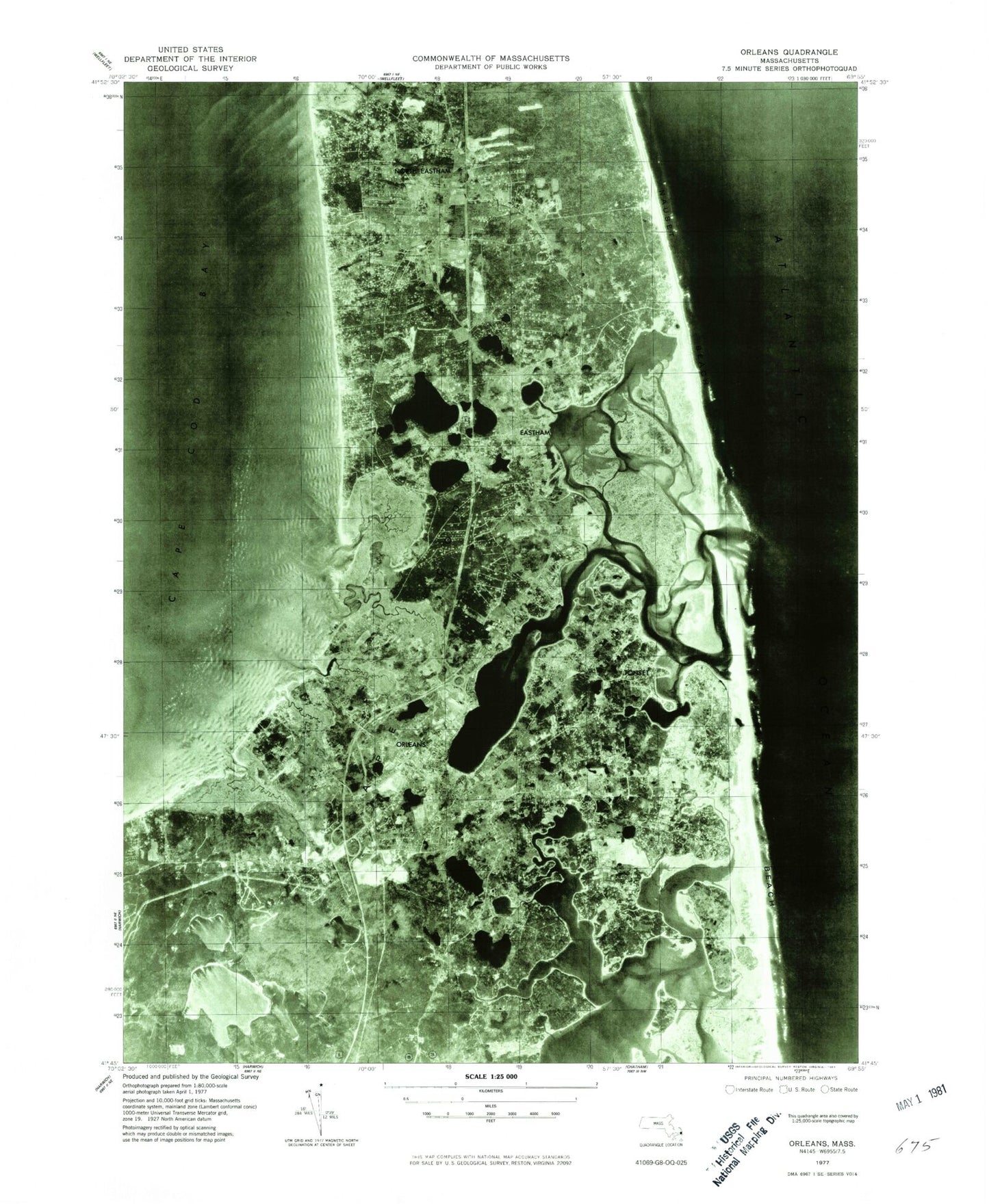
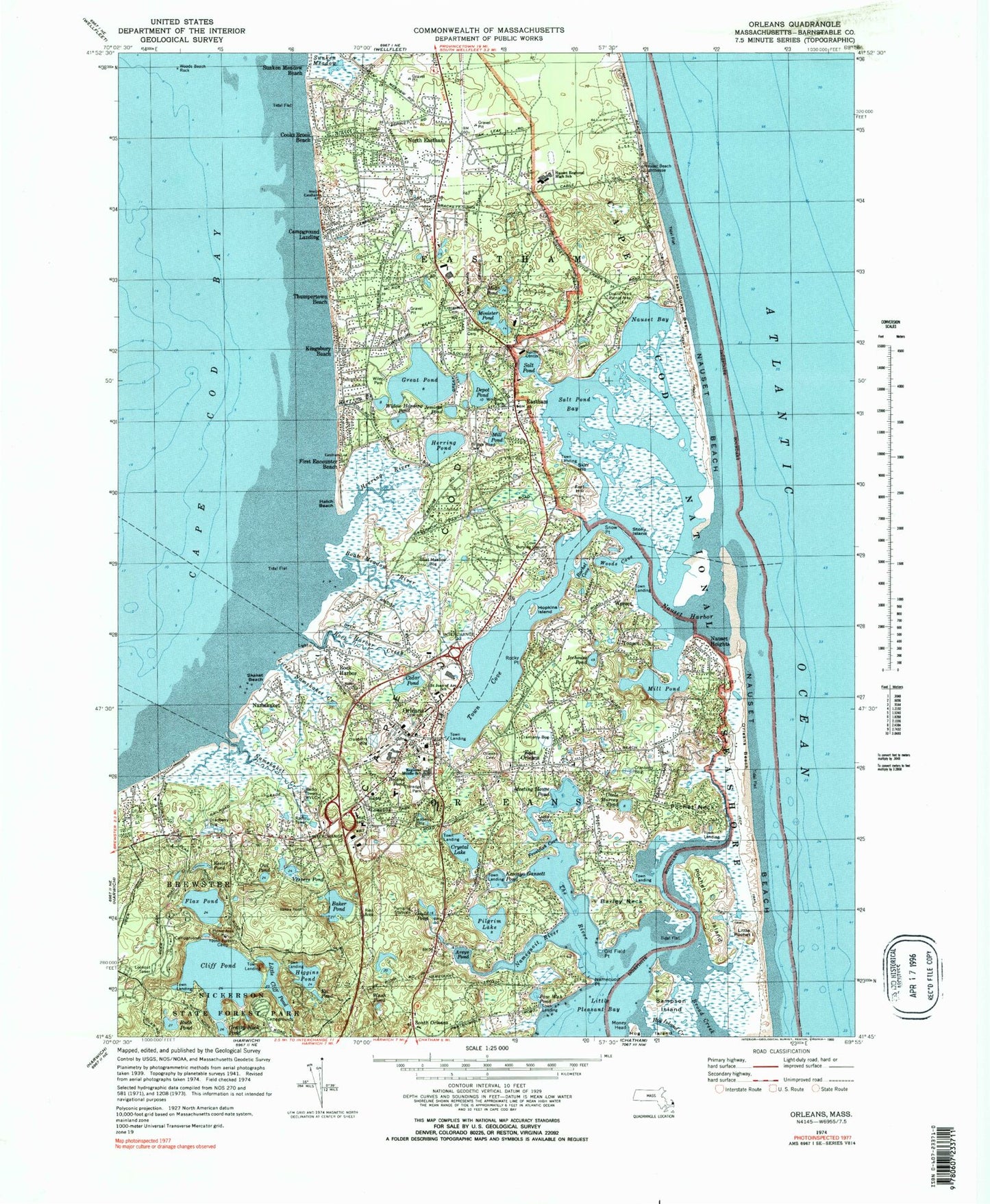
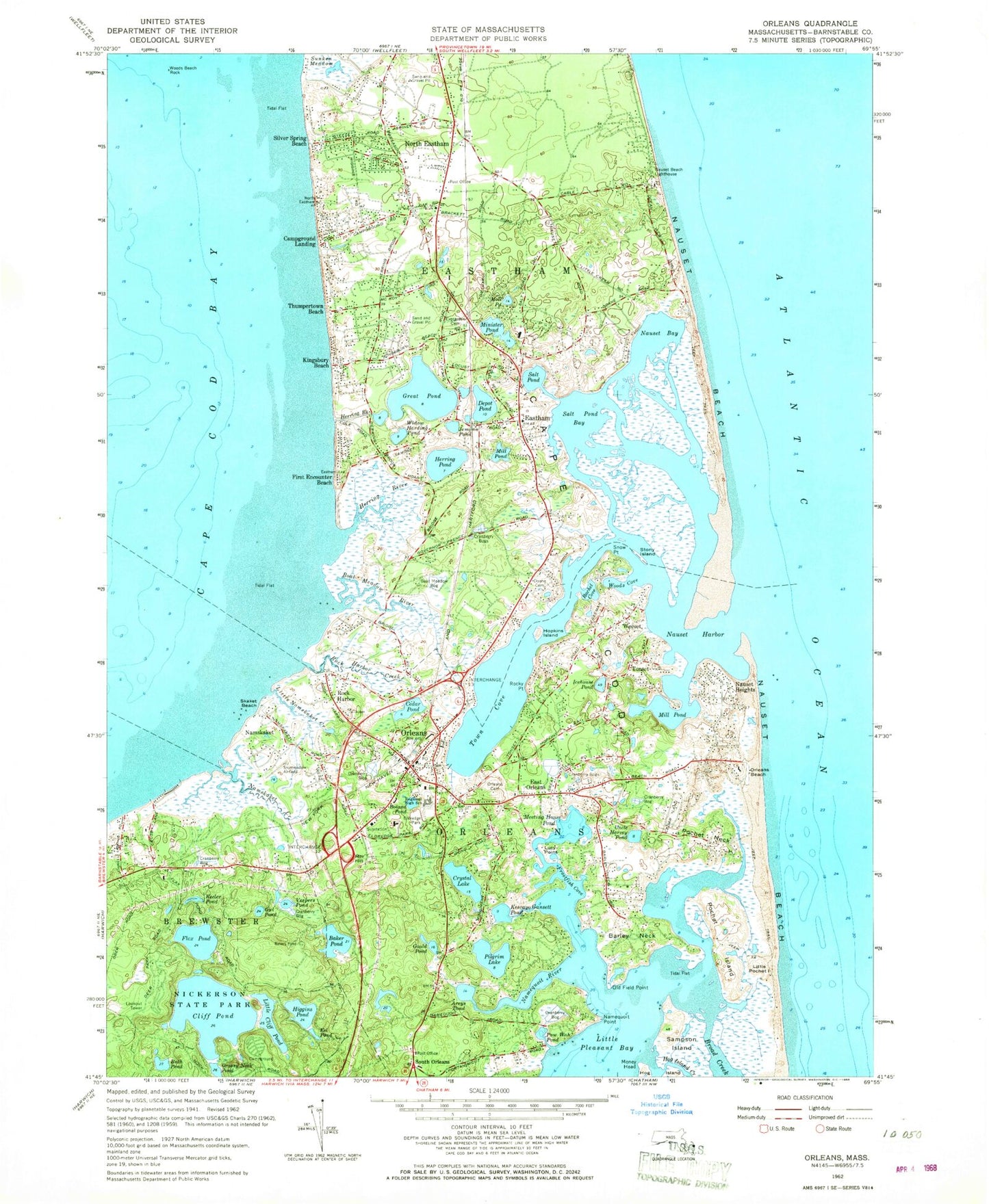
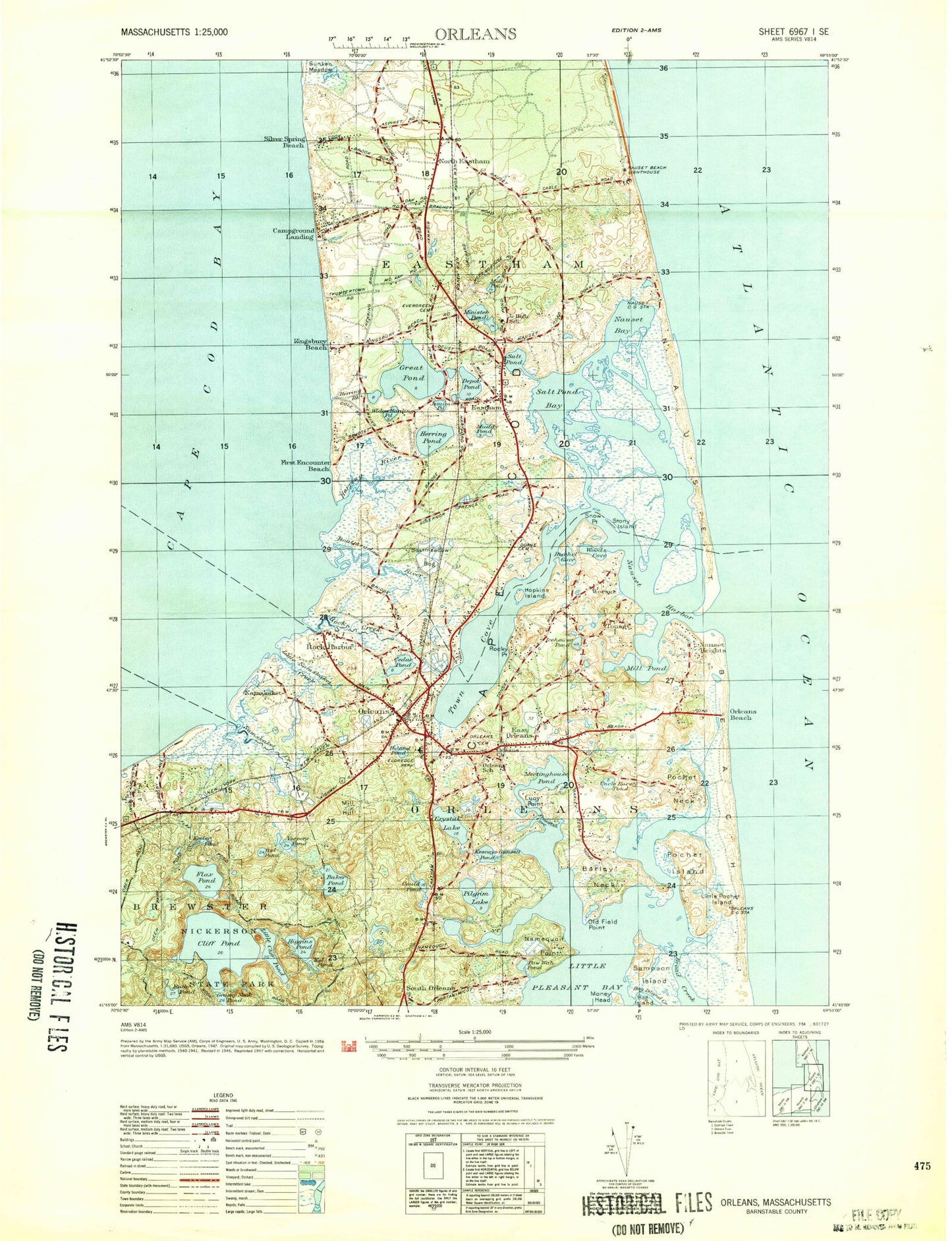
Historical USGS topographic quad map of Orleans in the state of Massachusetts. Typical map scale is 1:24,000, but may vary for certain years, if available. Print size: 24" x 27"
This quadrangle is in the following counties: Barnstable.
The map contains contour lines, roads, rivers, towns, and lakes. Printed on high-quality waterproof paper with UV fade-resistant inks, and shipped rolled.
Contains the following named places: Money Head, Salt Pond Visitor Center, Nauset Beach Lighthouse, Rock Harbor Range Light, Orleans Cemetery, Nauset Regional Middle School, Eldredge Park, Saint Joan of Arc School, Cove Burying Ground Cemetery, Bridge Road Cemetery, Eastham Congregational and Soldiers Cemetery, Evergreen Cemetery, Nauset Regional High School, Doane Rock Picnic Area, Windmill Park, Namskaket Creek Marshes, Little Namskaket River Marshes, Pochet Island Marshes, Sampson Island Marshes, Boat Meadow River Marshes, Rock Harbor Creek Marshes, Herring River Marshes, Sunken Meadows Marshes, Silver Spring Brook Marshes, Orleans Shopping Plaza, Orleans Shopping Center, Cranberry Cove Plaza, Hilltop Plaza, Boat Meadow Bog, Wiley Park, Youth Forestry Camp, The Eastham Mill, Eastham 1869 Schoolhouse Museum, Weesquamsett, Grassy Nook, Tawasentha Hill, Fort Hill Trail, Red Maple Swamp Trail, Nauset Marsh, Nickerson State Forest Park, Skiff Hill, Fort Hill, Wash Pond, Sunken Meadow Beach, Hatch Beach, WVLC, Nauset Beach United States Life Saving Station (historical), Orleans United States Life Saving Station (historical), Nauset Bay Marshes, Eastham Dunes, The Cove, Areys Pond, Baker Pond, Barley Neck, Boat Meadow River, Boland Pond, Campground Landing, Cedar Pond, Cliff Pond, Crystal Lake, Depot Pond, Eastham, East Orleans, Eel Pond, First Encounter Beach, Flax Pond, Frostfish Cove, Gould Pond, Grassy Nook Pond, Great Pond, Herring Brook, Herring Pond, Herring River, Higgins Pond, Hog Island Creek, Hopkins Island, Icehouse Pond, Jemima Pond, Keeler Pond, Kescayo Gansett Pond, Kingsbury Beach, Little Cliff Pond, Little Namskaket Creek, Little Pochet Island, Lucy Point, Meeting House Pond, Mill Hill, Mill Pond, Minister Pond, Moll Pond, Namequoit Point, Namequoit River, Namskaket, Namskaket Creek, Nauset Bay, Nauset Harbor, Nauset Heights, North Eastham, Old Field Point, Orleans, Orleans Beach, Owl Pond, Paw Wah Pond, Pilgrim Lake, Pochet Island, Pochet Neck, Rachel Cove, The River, Rock Harbor, Rock Harbor Creek, Rocky Point, Ruth Pond, Salt Pond, Salt Pond Bay, Sampson Island, Cooks Brook Beach, Skaket Beach, Snow Point, South Orleans, Stony Island, Thumpertown Beach, Tonset, Town Cove, Uncle Harvey Pond, Vespers Pond, Weeset, Widow Harding Pond, Woods Beach Rock, Woods Cove, Nauset Beach, Weeset Point, Town of Orleans, French Cable Station Museum, Buttonbush Trail, WKPE-AM (Orleans), WKPE-FM (Orleans), Mill Pond, Town of Eastham, Nauset Light Beach, Coast Guard Beach, Nauset Marsh Trail, Cape Cod Bible Alliance Church, Sunken Meadow Beach, Cooks Brook Beach, Thumpertown Beach, Wiley Park Beach, Kingsbury Beach, First Encounter Beach, Rock Harbor Beach, Linnell Landing Beach, Crosby Landing Beach, Nauset Regional Middle School Library, Eastham Public Library, The Family School, North Eastham Census Designated Place, Orleans Census Designated Place, Eastham Fire Department, Orleans Fire Department, Eastham Police Department, Orleans Police Department, East Orleans Post Office, Orleans Post Office, North Eastham Post Office, South Orleans Post Office, Eastham Post Office, Money Head, Salt Pond Visitor Center, Nauset Beach Lighthouse, Rock Harbor Range Light, Orleans Cemetery, Nauset Regional Middle School, Eldredge Park, Saint Joan of Arc School, Cove Burying Ground Cemetery, Bridge Road Cemetery, Eastham Congregational and Soldiers Cemetery, Evergreen Cemetery, Nauset Regional High School, Doane Rock Picnic Area, Windmill Park, Namskaket Creek Marshes, Little Namskaket River Marshes, Pochet Island Marshes, Sampson Island Marshes, Boat Meadow River Marshes, Rock Harbor Creek Marshes, Herring River Marshes, Sunken Meadows Marshes, Silver Spring Brook Marshes, Orleans Shopping Plaza, Orleans Shopping Center, Cranberry Cove Plaza, Hilltop Plaza, Boat Meadow Bog, Wiley Park, Youth Forestry Camp, The Eastham Mill, Eastham 1869 Schoolhouse Museum, Weesquamsett, Grassy Nook, Tawasentha Hill, Fort Hill Trail, Red Maple Swamp Trail, Nauset Marsh, Nickerson State Forest Park, Skiff Hill, Fort Hill, Wash Pond, Sunken Meadow Beach, Hatch Beach, WVLC, Nauset Beach United States Life Saving Station (historical), Orleans United States Life Saving Station (historical), Nauset Bay Marshes, Eastham Dunes, The Cove, Areys Pond, Baker Pond, Barley Neck, Boat Meadow River, Boland Pond, Campground Landing, Cedar Pond, Cliff Pond, Crystal Lake, Depot Pond, Eastham, East Orleans, Eel Pond, First Encounter Beach, Flax Pond, Frostfish Cove, Gould Pond, Grassy Nook Pond, Great Pond, Herring Brook
