MyTopo
Classic USGS Orleans Nebraska 7.5'x7.5' Topo Map
Couldn't load pickup availability
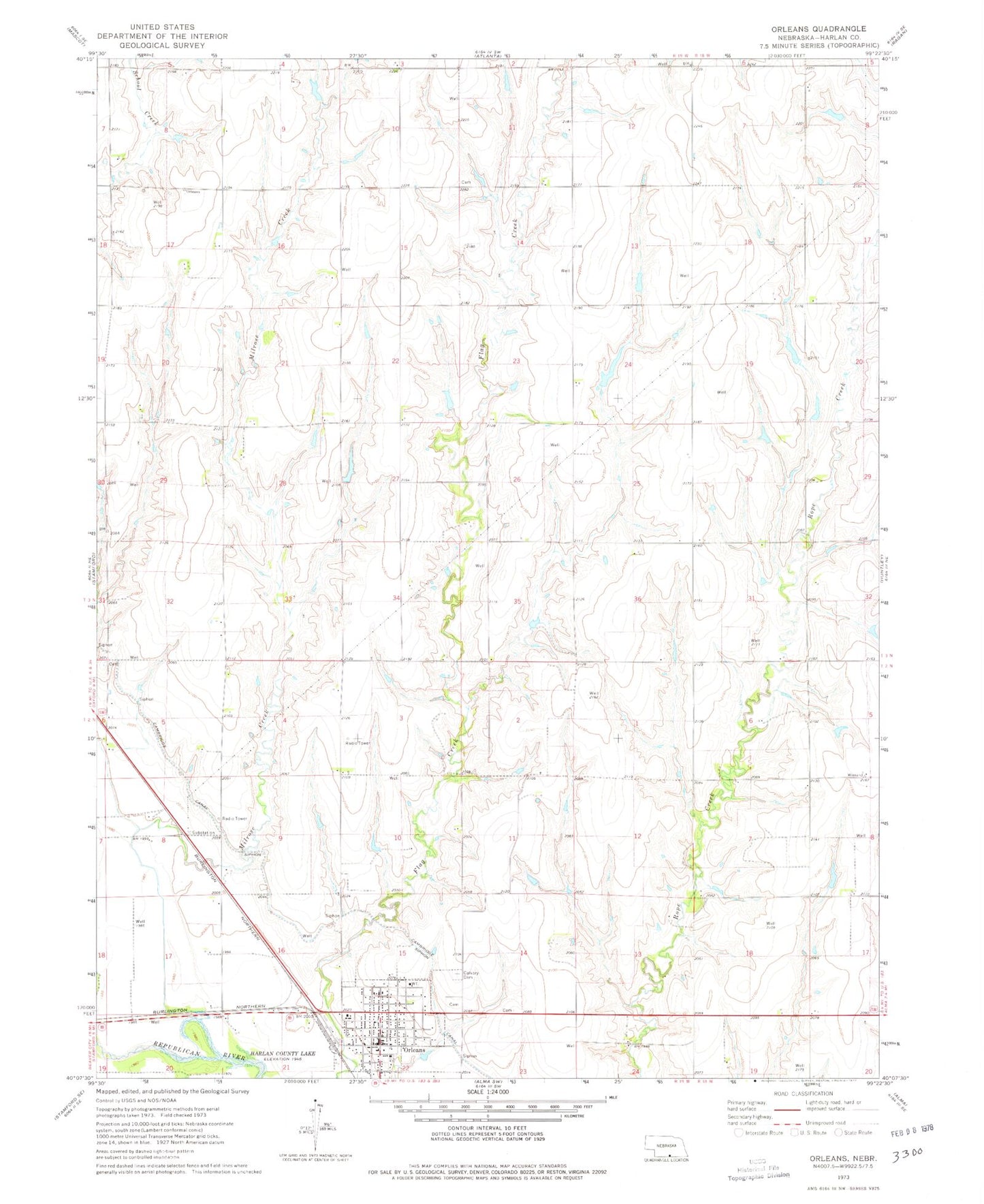
Historical USGS topographic quad map of Orleans in the state of Nebraska. Map scale may vary for some years, but is generally around 1:24,000. Print size is approximately 24" x 27"
This quadrangle is in the following counties: Harlan.
The map contains contour lines, roads, rivers, towns, and lakes. Printed on high-quality waterproof paper with UV fade-resistant inks, and shipped rolled.
Contains the following named places: Atlanta Elevator, Calvary Cemetery, Cordelia B Preston Memorial Library, Evangelical Free Church, Flasnick Dam, Flasnick Reservoir, Harlan County, L J Bose Airstrip, Massey Dam, Massey Reservoir, Milrose Creek, Orleans, Orleans Elevator, Orleans Post Office, Orleans Presbyterian Church, Orleans RV Park, Orleans Volunteer Fire Department, Richards Dam, Richards Reservoir, Saint Mary Catholic Church, Southern Valley Elementary at Orleans, Township of Orleans, Township of Reuben, Village of Orleans, ZIP Code: 68966