MyTopo
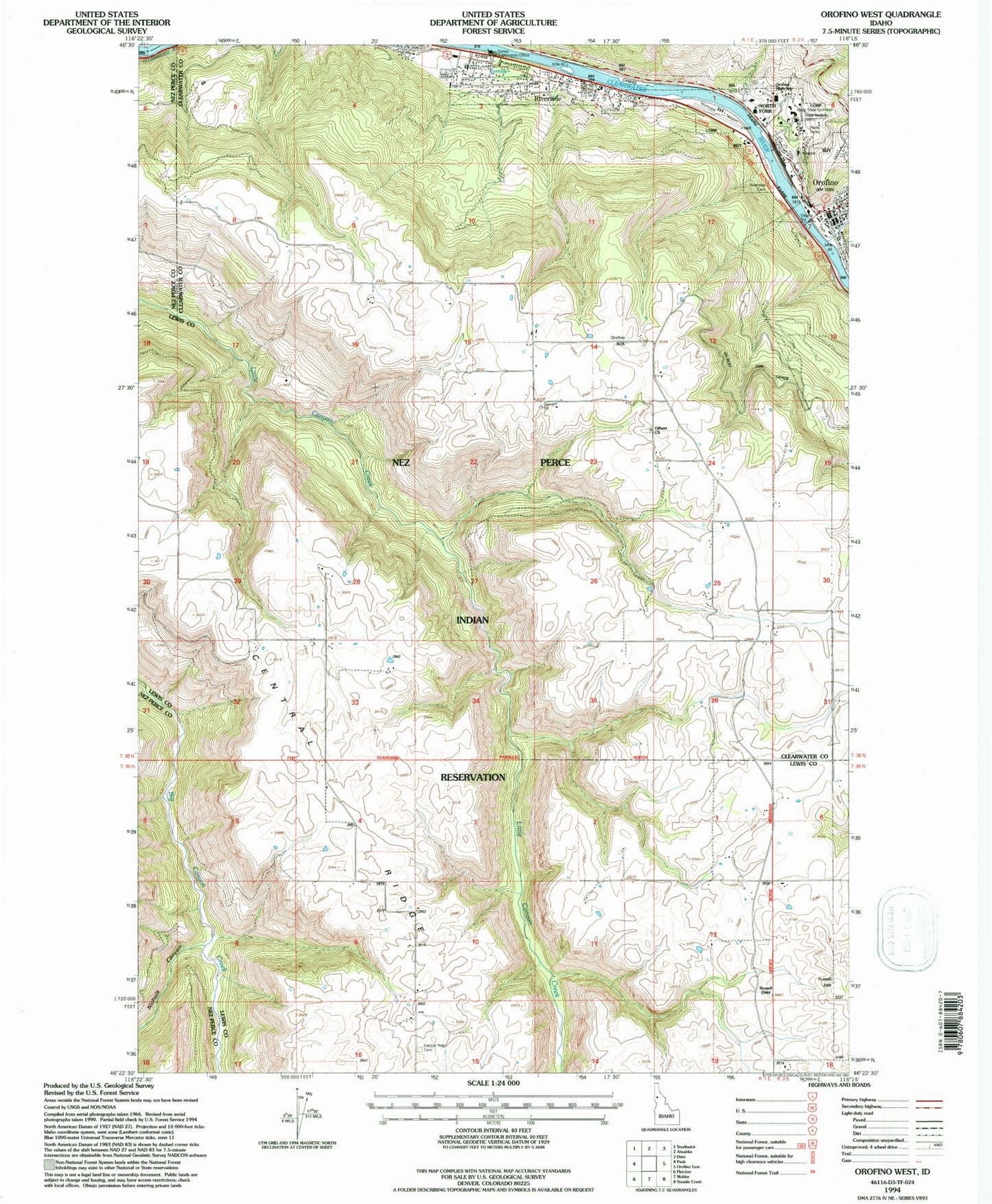
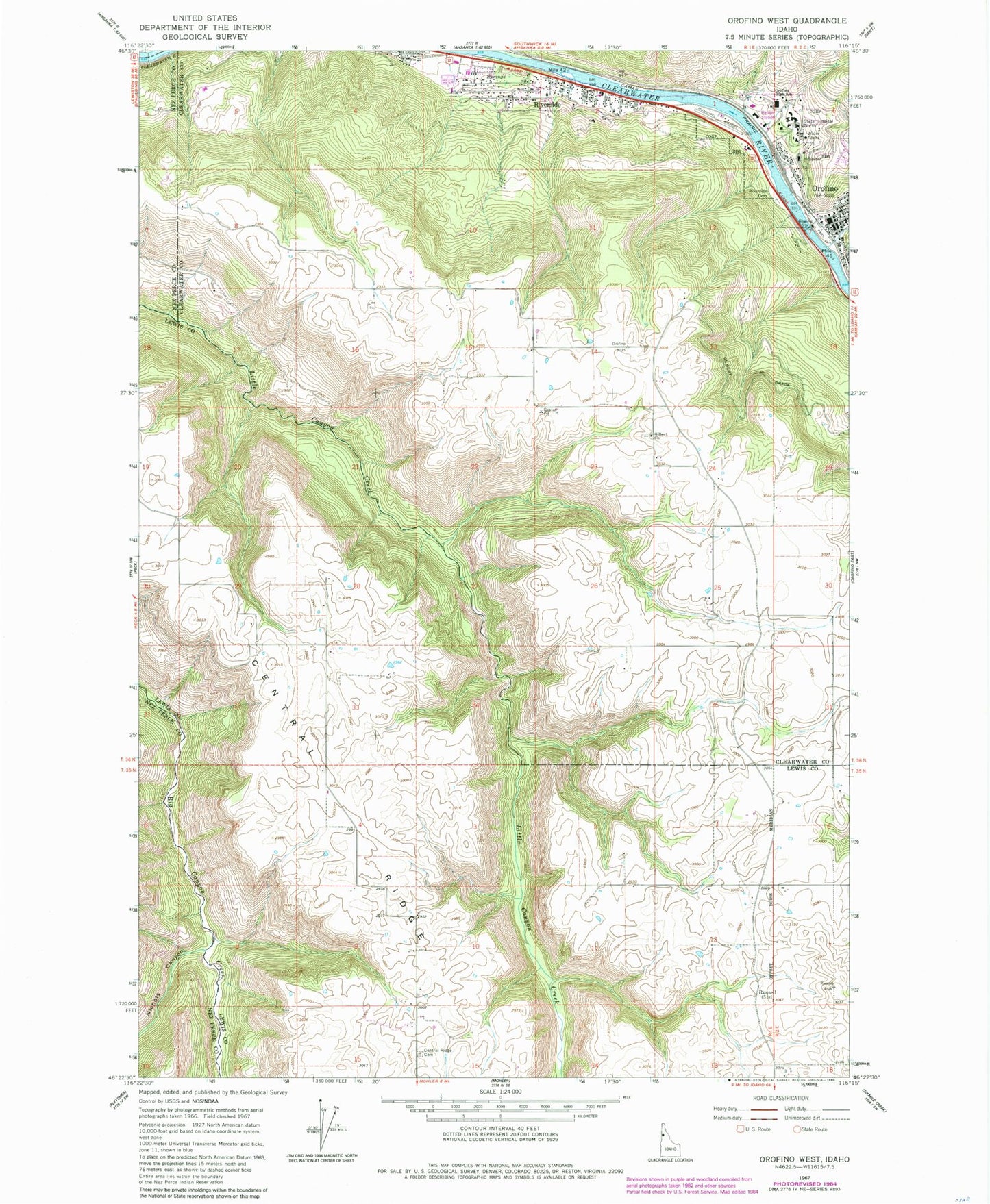
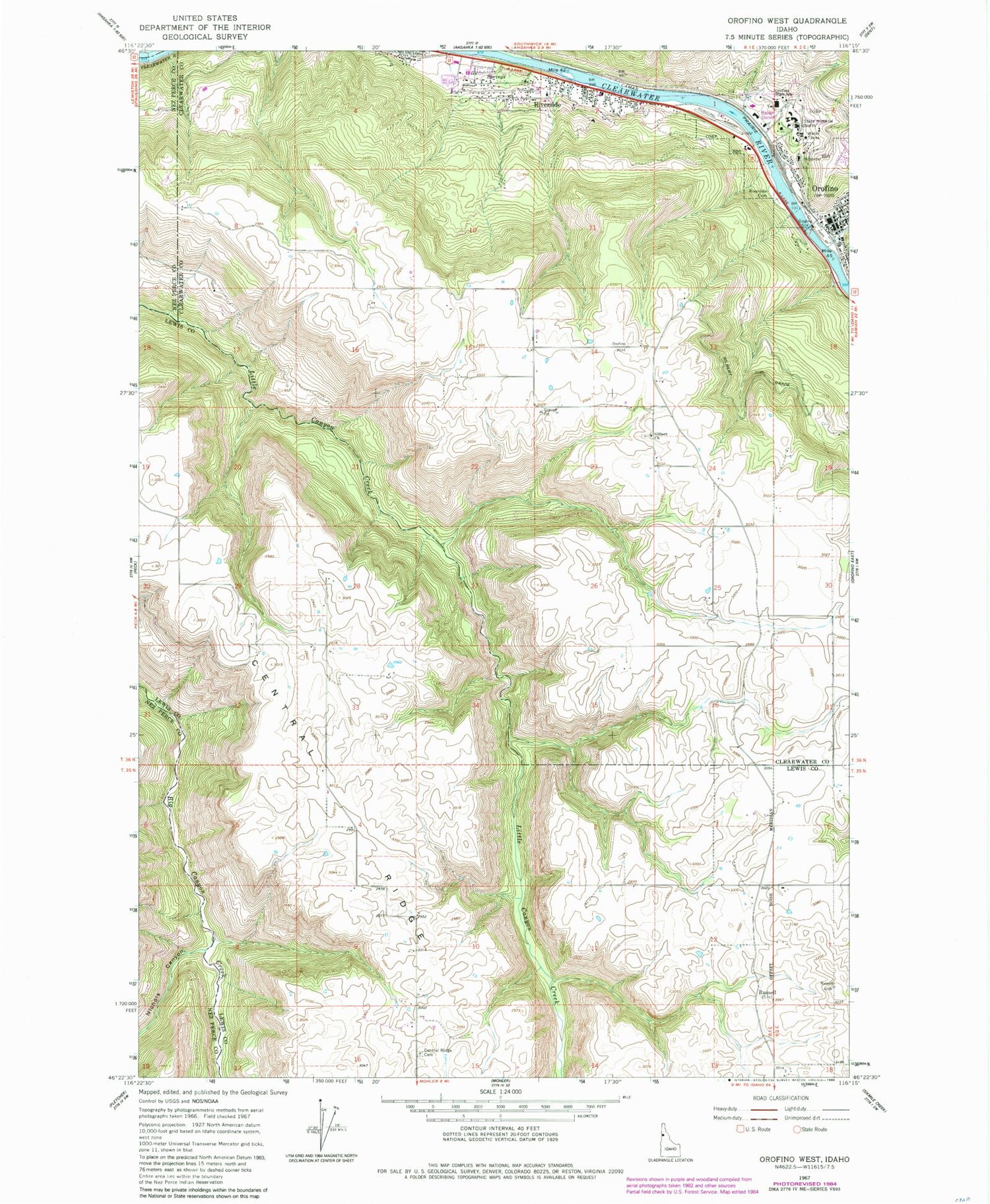
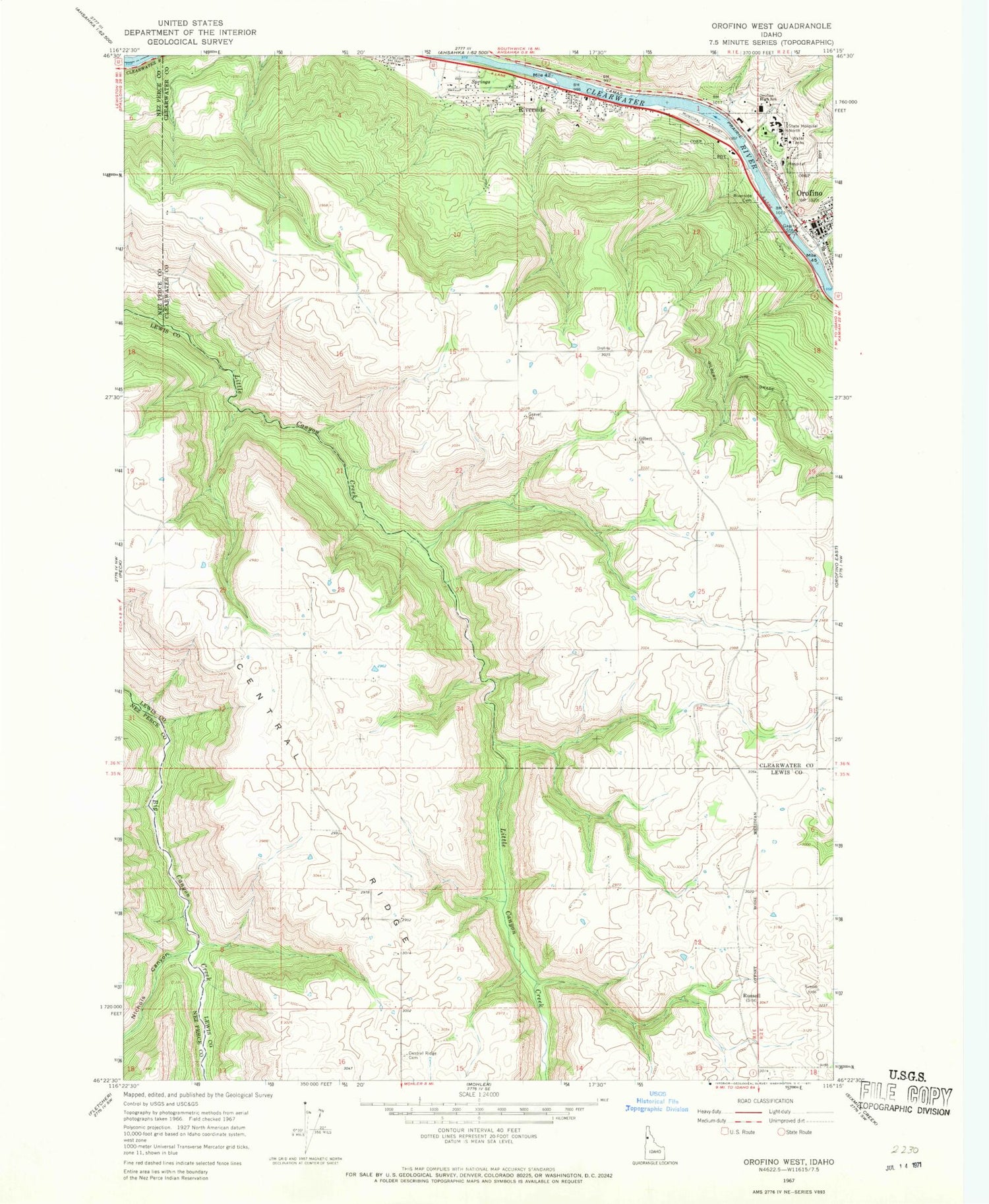
Classic USGS Orofino West Idaho 7.5'x7.5' Topo Map
Couldn't load pickup availability
Historical USGS topographic quad map of Orofino West in the state of Idaho. Map scale may vary for some years, but is generally around 1:24,000. Print size is approximately 24" x 27"
This quadrangle is in the following counties: Clearwater, Lewis, Nez Perce.
The map contains contour lines, roads, rivers, towns, and lakes. Printed on high-quality waterproof paper with UV fade-resistant inks, and shipped rolled.
Contains the following named places: Canyon and Kelly Creek Ranger Station, Central Ridge, Central Ridge Cemetery, City of Orofino, Clearwater County Ambulance, Clearwater County Sheriff's Office, Clearwater Potlatch Timber Protective Association, Clearwater Valley Hospital, Gilbert Church, Idaho Correctional Institution - Orofino, Lewis-Clark Canoe Camp State Park, Nez Perce Division, Nichols Canyon, North Fork Clearwater River, Orofino, Orofino Creek, Orofino Fire Department Station 1, Orofino Fire Department Station 2, Orofino High School, Orofino Junior High School, Orofino Municipal Airport, Orofino Police Department, Orofino Post Office, Riverside, Riverside Cemetery, Russell, State Hospital North