MyTopo
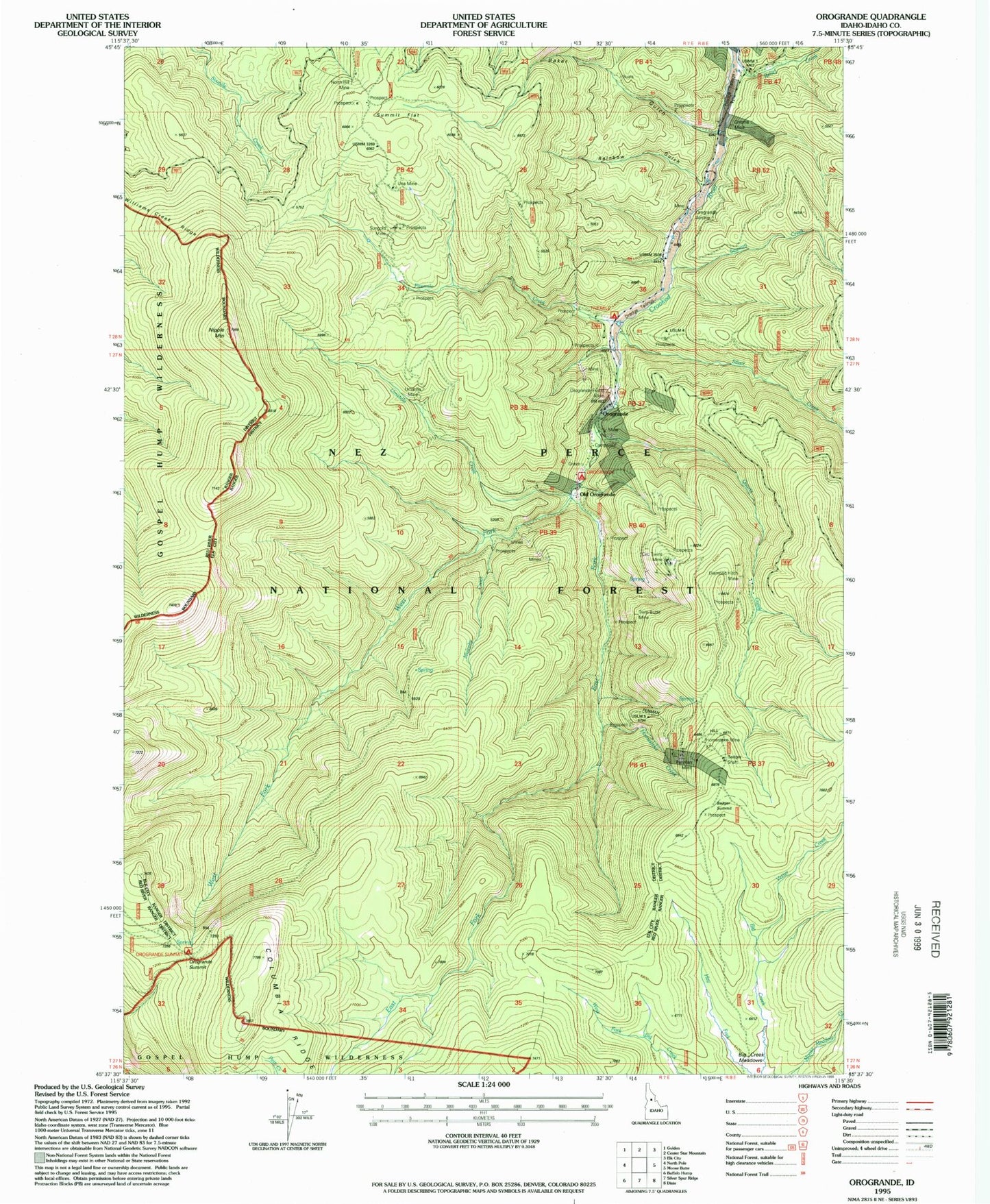
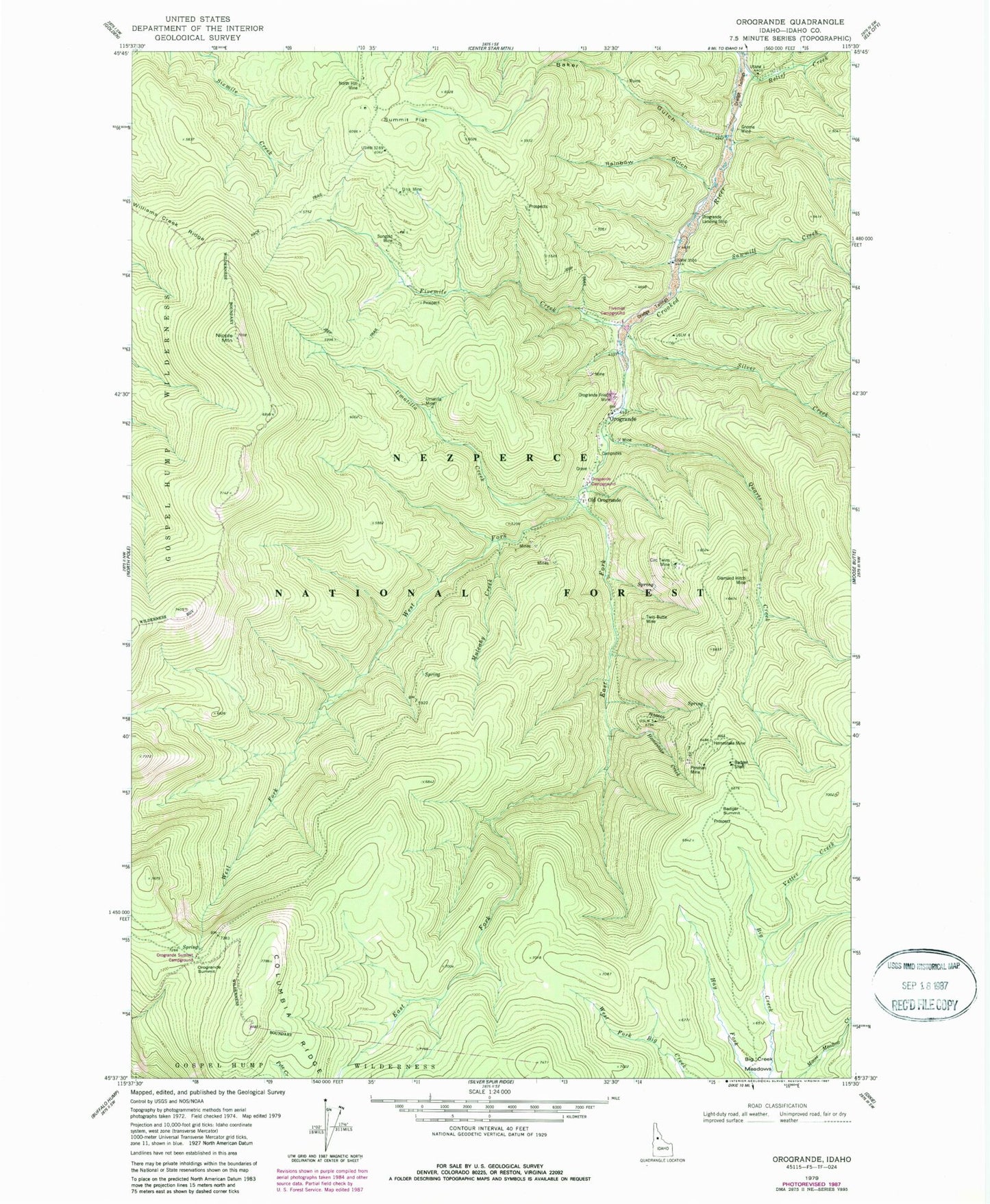
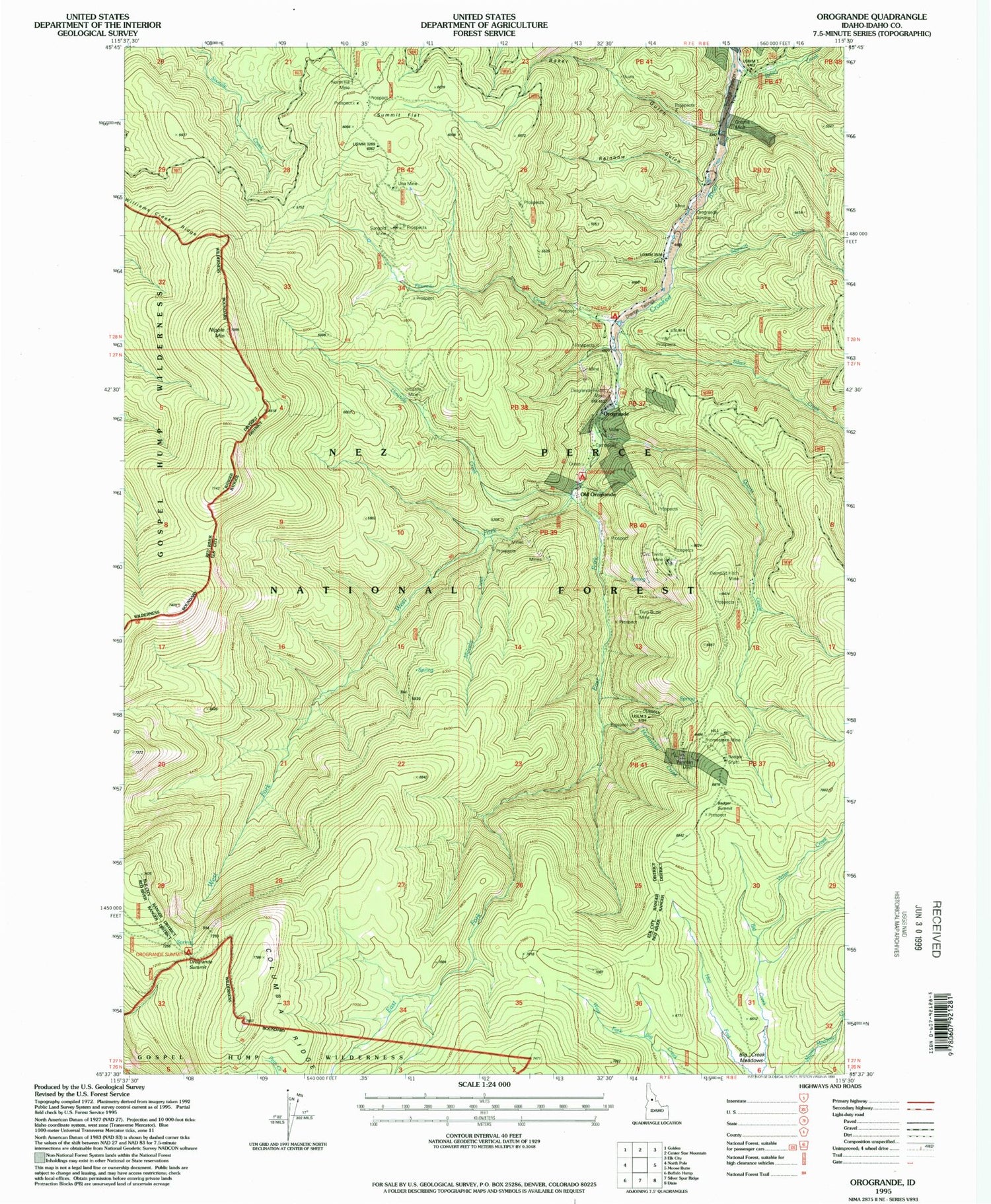
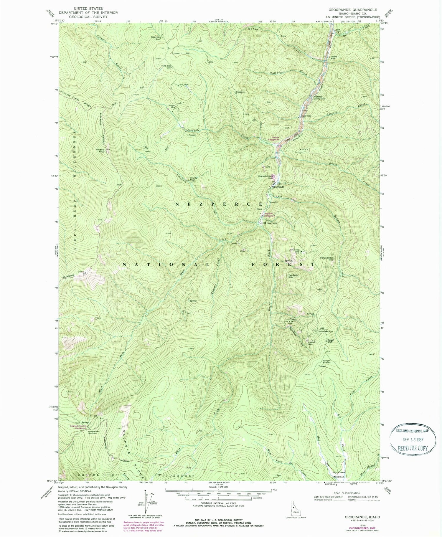
Classic USGS Orogrande Idaho 7.5'x7.5' Topo Map
Couldn't load pickup availability
Historical USGS topographic quad map of Orogrande in the state of Idaho. Map scale may vary for some years, but is generally around 1:24,000. Print size is approximately 24" x 27"
This quadrangle is in the following counties: Idaho.
The map contains contour lines, roads, rivers, towns, and lakes. Printed on high-quality waterproof paper with UV fade-resistant inks, and shipped rolled.
Contains the following named places: Baker Gulch, Circ Twins Mine, Columbia Ridge, Diamond Hitch Mine, East Fork Crooked River, Fivemile Campground, Fivemile Creek, Gnome Mine, Homestake Creek, Homestake Mine, Mulcahy Creek, Nipple Mountain, North Hill Mine, Old Orogrande, Old Orogrande Mine, Orogrande, Orogrande Airport, Orogrande Campground, Orogrande Frisco Mine, Orogrande Summit, Orogrande Summit Campground, Penman Hill, Penman Mine, Quartz Creek, Rainbow Gulch, Relief Creek, Sawmill Creek, Silver Creek, Summit Flat, Sungold Mine, Twin Butte Mine, Umatilla Creek, Umatilla Mine, Una Mine, Vetter Creek, West Fork Crooked River, Williams Creek Ridge


