MyTopo
Classic USGS Orrville Alabama 7.5'x7.5' Topo Map
Couldn't load pickup availability
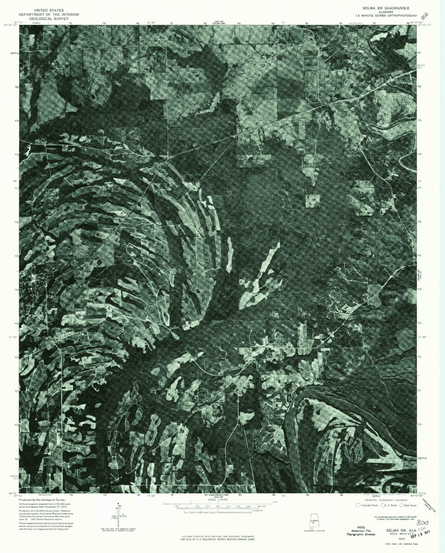
Historical USGS topographic quad map of Orrville in the state of Alabama. Map scale may vary for some years, but is generally around 1:24,000. Print size is approximately 24" x 27"
This quadrangle is in the following counties: Dallas.
The map contains contour lines, roads, rivers, towns, and lakes. Printed on high-quality waterproof paper with UV fade-resistant inks, and shipped rolled.
Contains the following named places: Aimwell Church, Barnes Cemetery, Beloit, Beloit Volunteer Fire Department, Big Swamp Branch, Calhoun Bend, Calhoun Bend School, Childers Creek, Church of the Immaculate Conception, First Church, Freewill Church, Fulton Cemetery, Gloss School, Hazen, Hopewell Church, Hurricane Creek, John the Baptist Church, John the Baptist School, Keith High School, Lake Cemetery, Liberty Cemetery, Lucy Gastrell Bar, Mary Taylor Bar, Mitchell Bar, Mount Calvary Church, New Home Church, Orrville, Orrville Baptist Church, Orrville Division, Orrville Post Office, Orrville Volunteer Fire Department, Parnell Cemetery, Rosehill Cemetery, Shiloh Chapel, Shiloh Church, Siloam Church, Siloma Church, Silome School, Sugar Bottom Cemetery, The True Way Church, Threemile Ditch, Town of Orrville, Watts Cemetery, White Bluff Bar, Whites Bluff, ZIP Code: 36767