MyTopo
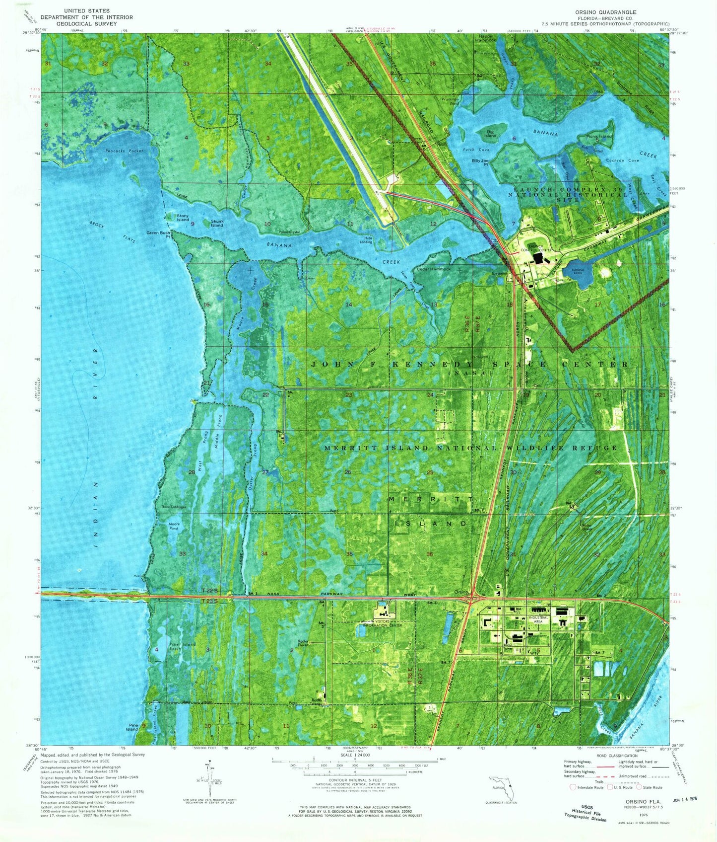
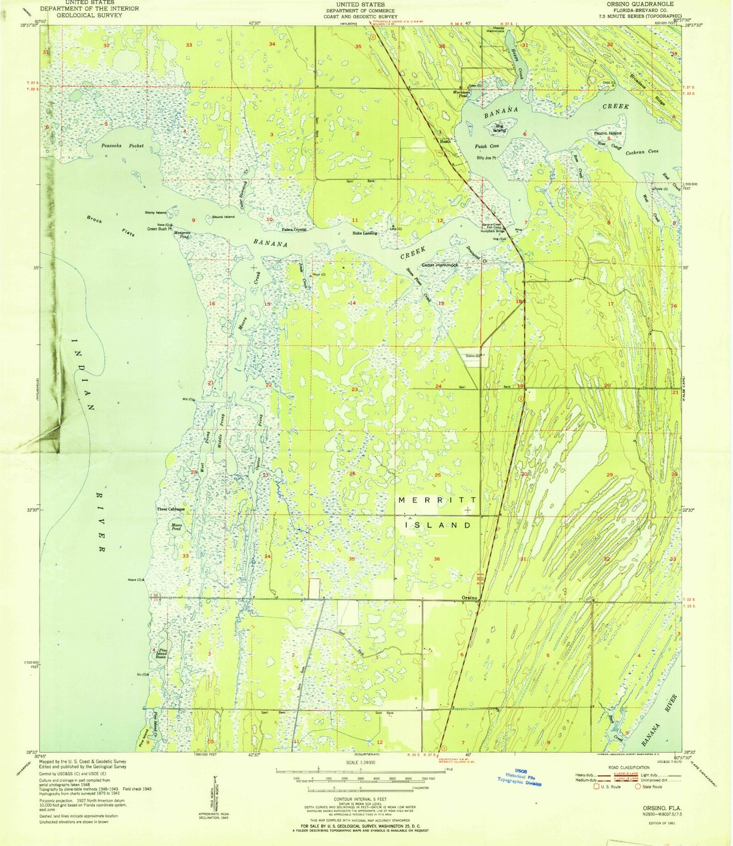
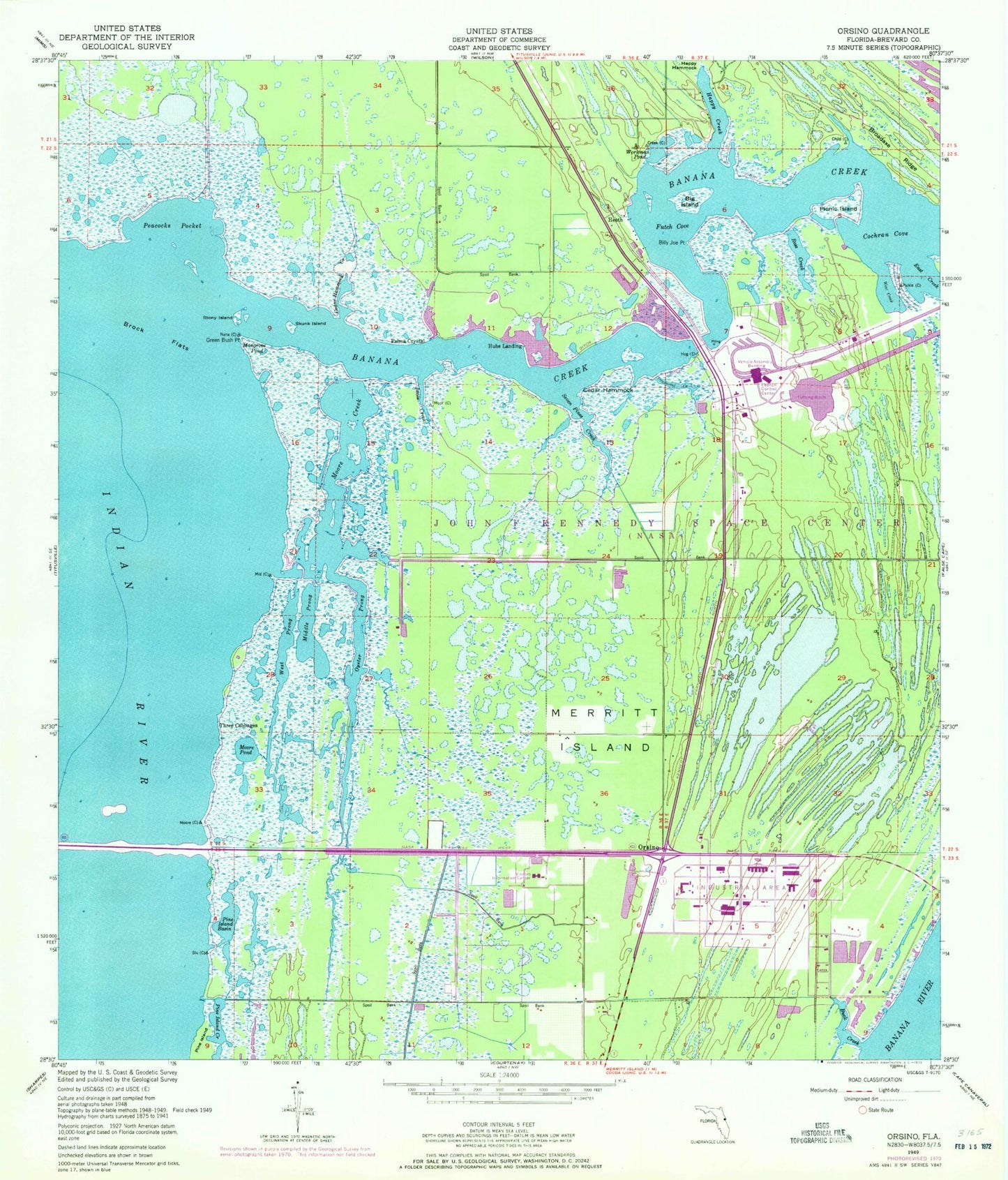
Classic USGS Orsino Florida 7.5'x7.5' Topo Map
Couldn't load pickup availability
Historical USGS topographic quad map of Orsino in the state of Florida. Map scale may vary for some years, but is generally around 1:24,000. Print size is approximately 24" x 27"
This quadrangle is in the following counties: Brevard.
The map contains contour lines, roads, rivers, towns, and lakes. Printed on high-quality waterproof paper with UV fade-resistant inks, and shipped rolled.
Contains the following named places: Banana Creek, Big Island, Billy Joe Point, Broadaxe Ridge, Buck Creek, Cedar Hammock, Cedar Hammock Creek, Cochran Cove, East Creek, Futch Cove, Green Bush Point, Happy Creek, Happy Hammock, Hubs Landing, Kennedy Space Center / Cape Canaveral Air Force Station Fire Station 2, Kennedy Space Center / Cape Canaveral Air Force Station Fire Station 4, Kennedy Space Center / Cape Canaveral Air Force Station Fire Station 6, Kennedy Space Center / Cape Canaveral Air Force Station Fire Station 7, Kennedy Space Center Barge Dock, Launch Complex 39, Launch Control Center, Merritt Island, Merritt Island National Wildlife Refuge, Middle Prong, Moore Creek, Moore Pond, NASA Shuttle Landing Facility, Orsino, Oyster Prong, Peacocks Pocket, Picnic Island, Pine Island Basin, Ross Creek, Ross Cutoff, Seven Pines Creek, Skunk Island, Space Center Division, Stony Island, Three Cabbages, Turning Basin, West Creek, West Prong, Workman Pond


