MyTopo
Classic USGS Ortigalita Peak NW California 7.5'x7.5' Topo Map
Couldn't load pickup availability
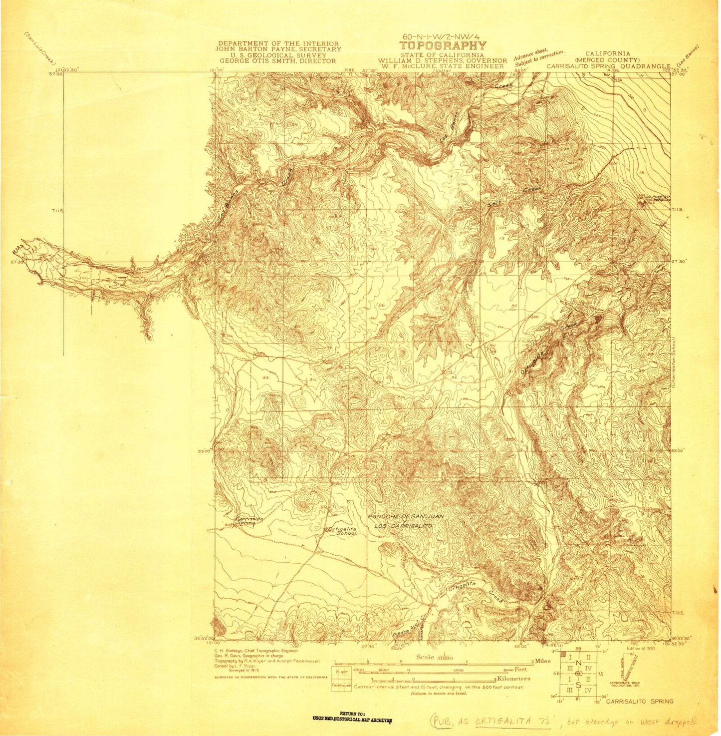
Historical USGS topographic quad map of Ortigalita Peak NW in the state of California. Map scale may vary for some years, but is generally around 1:24,000. Print size is approximately 24" x 27"
This quadrangle is in the following counties: Merced.
The map contains contour lines, roads, rivers, towns, and lakes. Printed on high-quality waterproof paper with UV fade-resistant inks, and shipped rolled.
Contains the following named places: Arburua Ranch, Arroyo Padre Flat, Buckeye Canyon, Carrisalito Flat, Carrisalito Spring, Chileno Creek, Gaston Bide Ranch, Los Banos Detention Dam, Los Banos Division, Los Banos Reservoir, Miner Creek, Ortigalita Creek, Ortigalita School, Panoche de San Juan Y Los Carrisali, Piedra Azul Creek, Salt Creek, Salt Spring