MyTopo
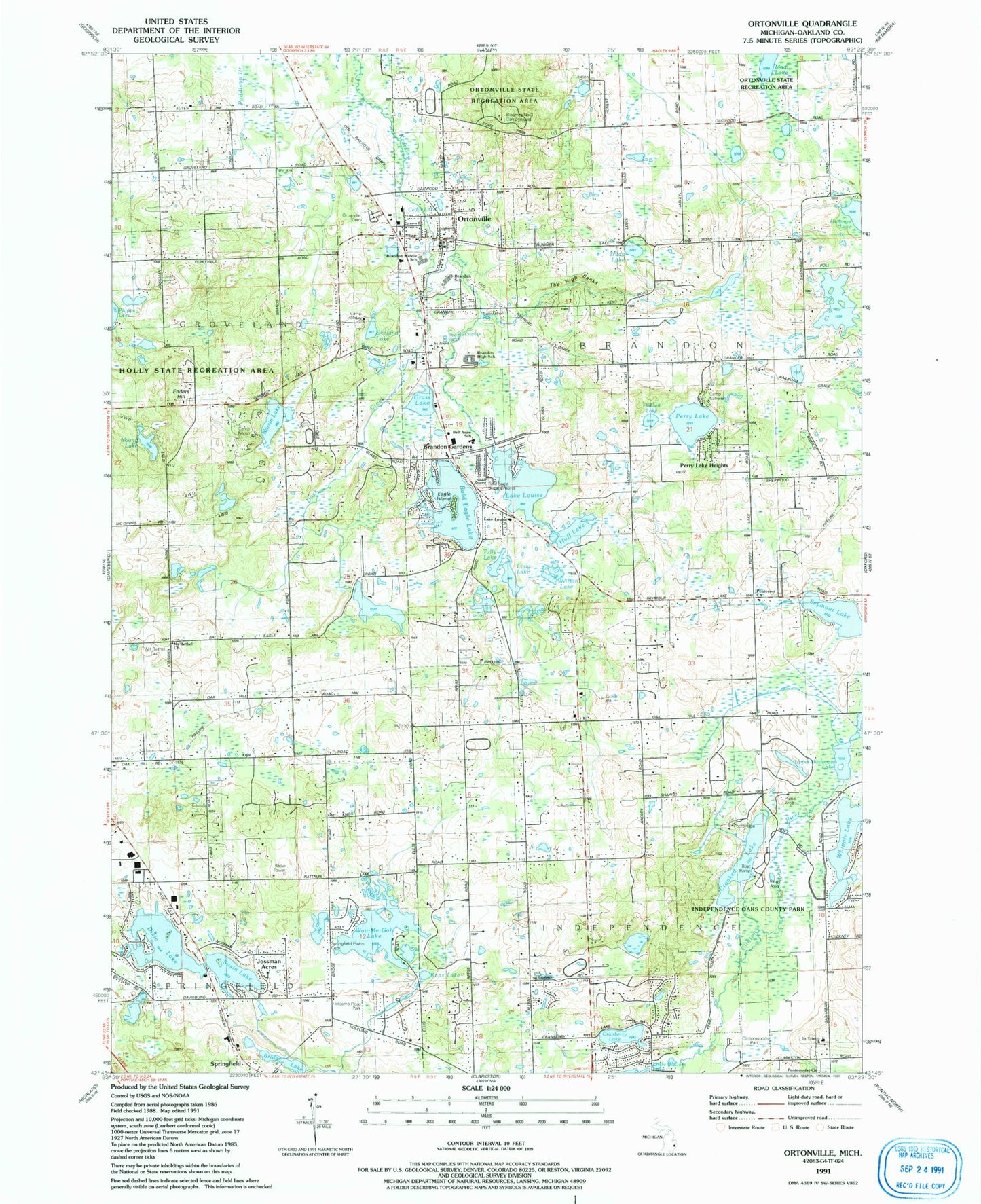
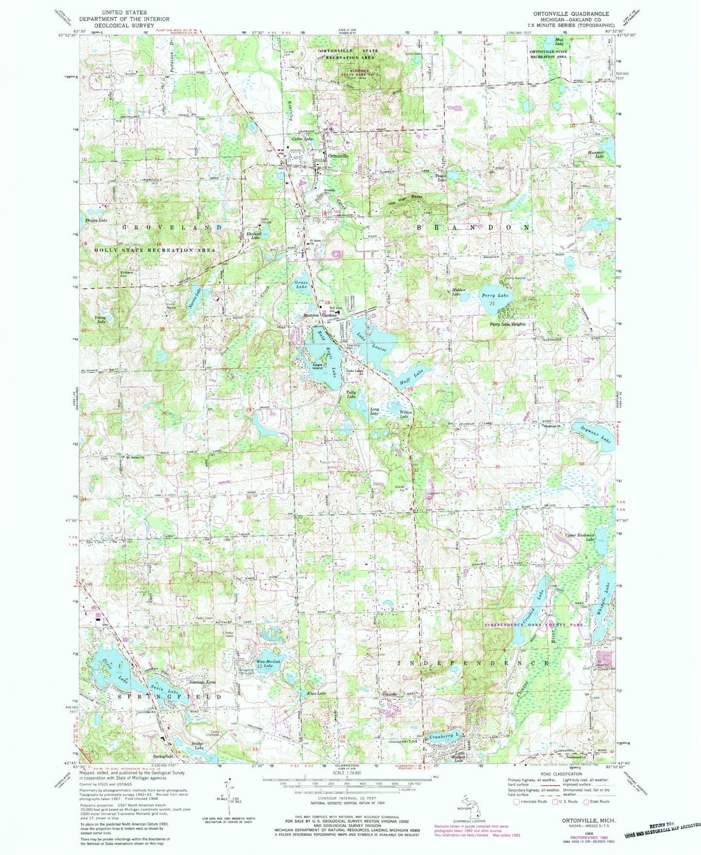
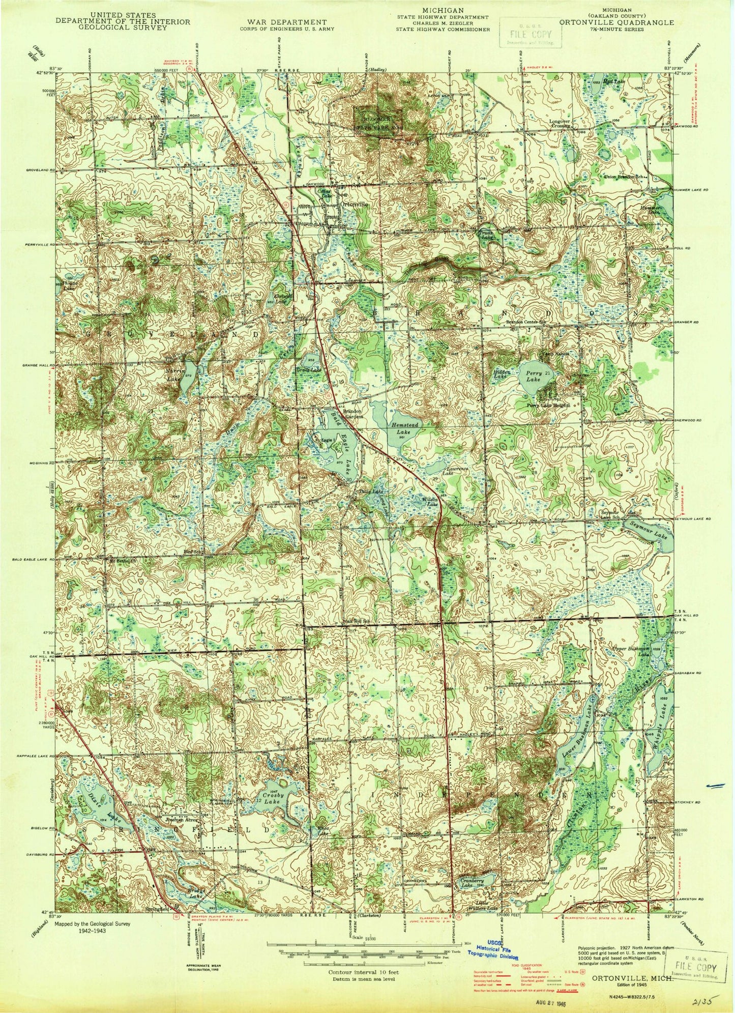
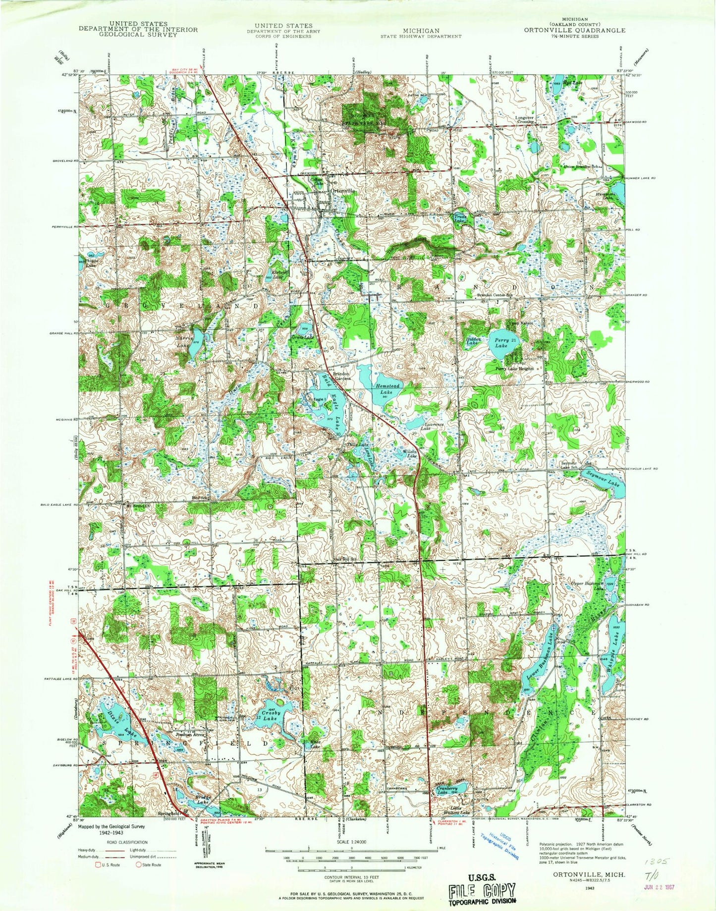
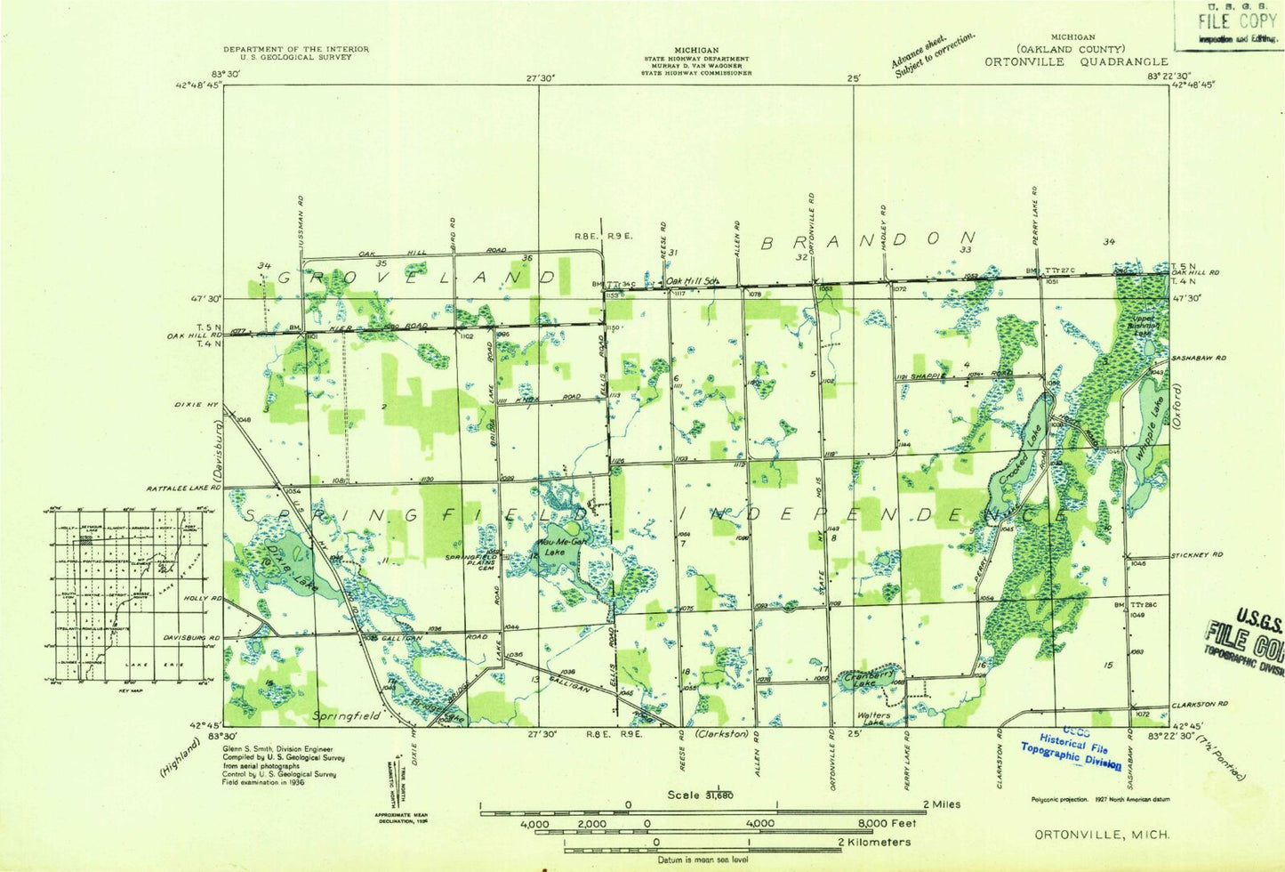
Classic USGS Ortonville Michigan 7.5'x7.5' Topo Map
Couldn't load pickup availability
Historical USGS topographic quad map of Ortonville in the state of Michigan. Map scale may vary for some years, but is generally around 1:24,000. Print size is approximately 24" x 27"
This quadrangle is in the following counties: Oakland.
The map contains contour lines, roads, rivers, towns, and lakes. Printed on high-quality waterproof paper with UV fade-resistant inks, and shipped rolled.
Contains the following named places: Bald Eagle Lake, Bald Eagle Lake Cemetery, Bell Anne School, Brandon Fire Department Station 1, Brandon Gardens, Brandon High School, Brandon School, Brandon Township Cemetery, Bridge Lake, Camp Clarkston, Camp Holiday, Camp Nahellu, Camp Narrin, Carmer Cemetery, Cedar Lake, Charles F Sherman Memorial Park, Charter Township of Brandon, Cranberry Lake, Crooked Lake, Dixie Lake, Duck Creek, Eagle Island, Eaton Cemetery, Ed Schulte's Place Airport, Ekelund Lake, Enders Hill, Everest Academy, Grass Lake, Groveland Township Fire Department Station 2, Harvey-Swanson Elementary School, Hidden Lake, Howard T Burt Elementary School, Huff Lake, Independence Fire Department - Station 2, Independence Oaks County Park, Jossman Acres, Knox Lake, Lake Louise, Lake Louise Church, Lake Nicholas, Long Lake, Mount Bethel Cemetery, Mount Bethel Church, Mud Lake, Narrin Lake, Oak Hill Post Office, Ortonville, Ortonville Cemetery, Ortonville Methodist Episcopal Church Historical Marker, Ortonville Post Office, Pentecost Church, Pentecostal Church, Perry Lake, Perry Lake Heights, Saint Anne Church, Seymour Lake, Seymour Lake Post Office, Sherman Lifelong Learning Center, Shurter Cemetery, Springfield Plains Cemetery, Springfield Plains Elementary School, Springfield Township Fire Station Number 2, Susin Lake, The High Banks, Truax Lake, Tully Lake, Upper Bushman Lake, Village of Ortonville, Wau-Me-Gah Lake, Whipple Lake, Wilson Lake, Young Lake, ZIP Codes: 48348, 48462
