MyTopo
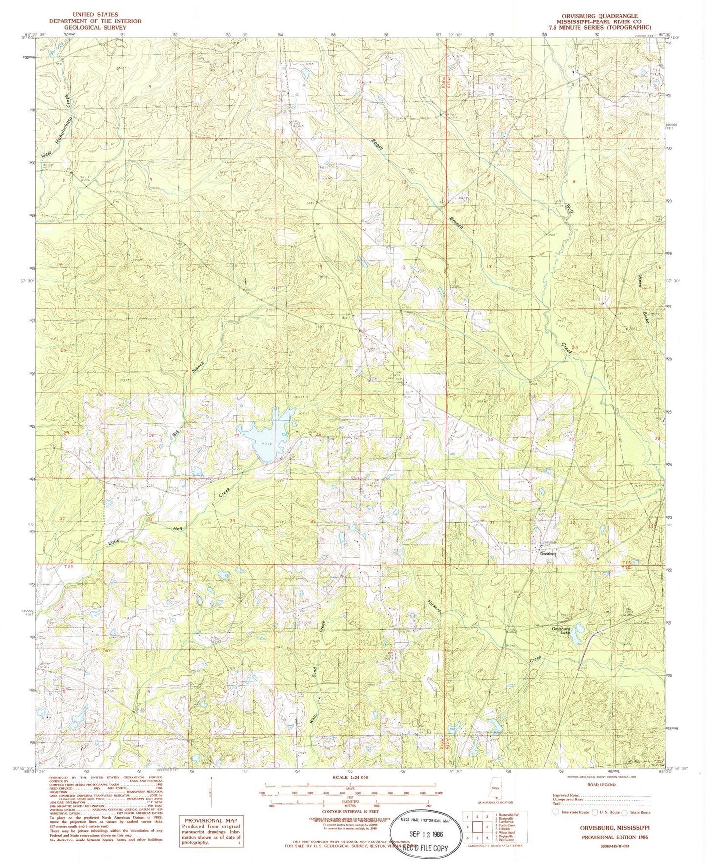
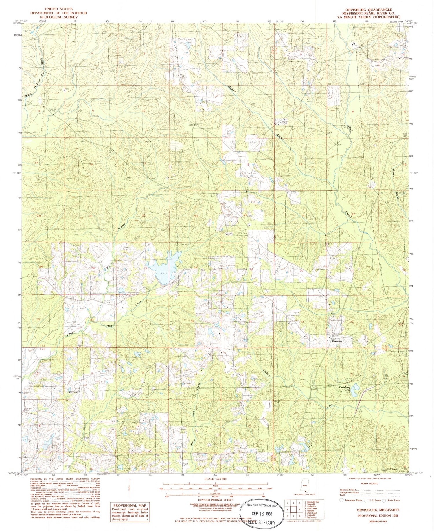
Classic USGS Orvisburg Mississippi 7.5'x7.5' Topo Map
Couldn't load pickup availability
Historical USGS topographic quad map of Orvisburg in the state of Mississippi. Map scale may vary for some years, but is generally around 1:24,000. Print size is approximately 24" x 27"
This quadrangle is in the following counties: Pearl River.
The map contains contour lines, roads, rivers, towns, and lakes. Printed on high-quality waterproof paper with UV fade-resistant inks, and shipped rolled.
Contains the following named places: Big Branch, Bill Watson Lake Dam, Boggy Branch, Doctor A T Goodwin Lake Dam, Doctor W M Pounds Lake Dam, Loyal School, North Central Volunteer Fire Department Station 1 Headquarters, Olive Church, Orvisburg, Orvisburg Cemetery, Orvisburg Lake, Orvisburg Lake Dam, Spring Hill Church, Spring Hill Lookout Tower, Stanford Lake Dam