MyTopo
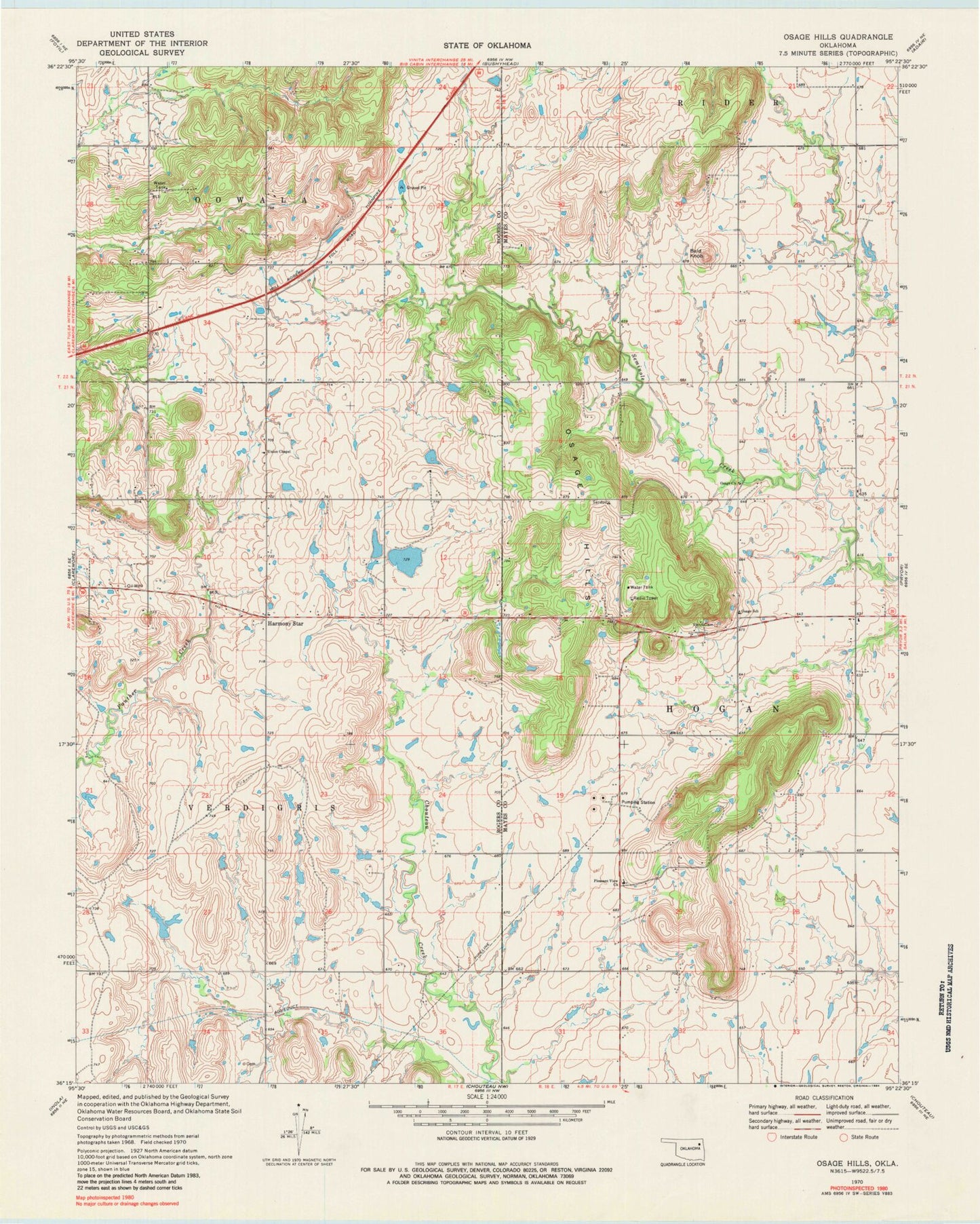
Classic USGS Osage Hills Oklahoma 7.5'x7.5' Topo Map
Couldn't load pickup availability
Historical USGS topographic quad map of Osage Hills in the state of Oklahoma. Map scale may vary for some years, but is generally around 1:24,000. Print size is approximately 24" x 27"
This quadrangle is in the following counties: Mayes, Rogers.
The map contains contour lines, roads, rivers, towns, and lakes. Printed on high-quality waterproof paper with UV fade-resistant inks, and shipped rolled.
Contains the following named places: Bald Knob, Claremore Regional Airport, Harmony Star, Northeast Technology Center Pryor, Osage - Pleasant View Volunteer Fire Department, Osage Church, Osage Elementary School, Osage Hills, Pleasant View Church, Tri - District Fire Protection District Main Station, Union Chapel, Vann Cemetery