MyTopo
Classic USGS Osage SW Iowa 7.5'x7.5' Topo Map
Couldn't load pickup availability
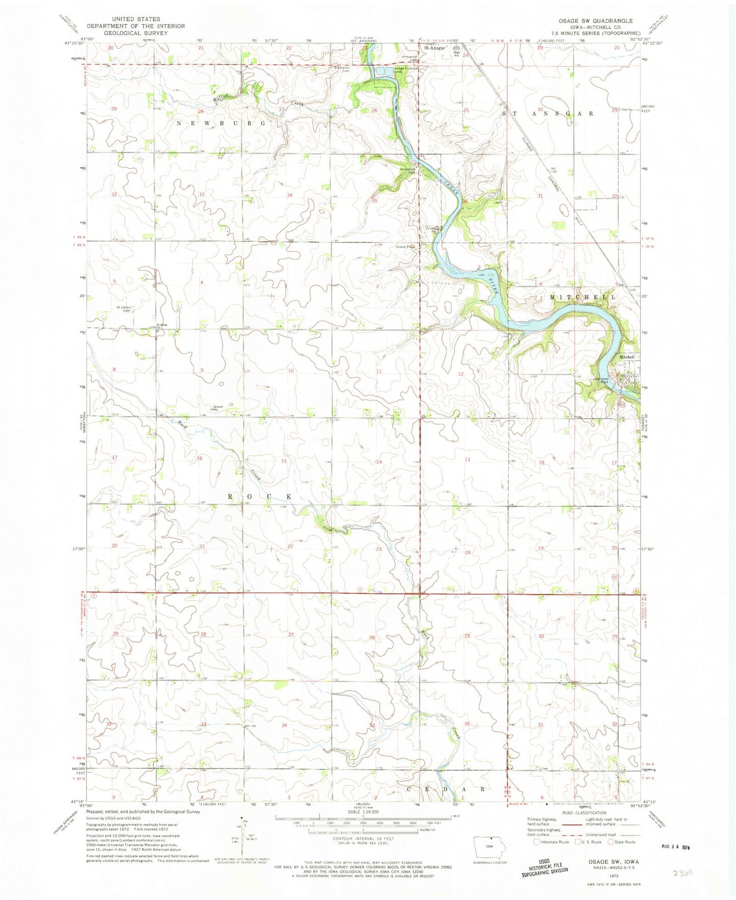
Historical USGS topographic quad map of Osage SW in the state of Iowa. Map scale may vary for some years, but is generally around 1:24,000. Print size is approximately 24" x 27"
This quadrangle is in the following counties: Mitchell.
The map contains contour lines, roads, rivers, towns, and lakes. Printed on high-quality waterproof paper with UV fade-resistant inks, and shipped rolled.
Contains the following named places: Blakestad Cemetery, County 'S' Refuge, Dixie, Dixie Post Office, Emmanuel Lutheran Cemetery, Halverson Park, Immanuel Lutheran Cemetery, Interstate Park, Olin Post Office, Riverview Cemetery, Rock Creek Post Office, Saint Ansgar High School, Saint Ansgar Middle School, Saint Johns Church, Township of Rock, Willow Creek