MyTopo
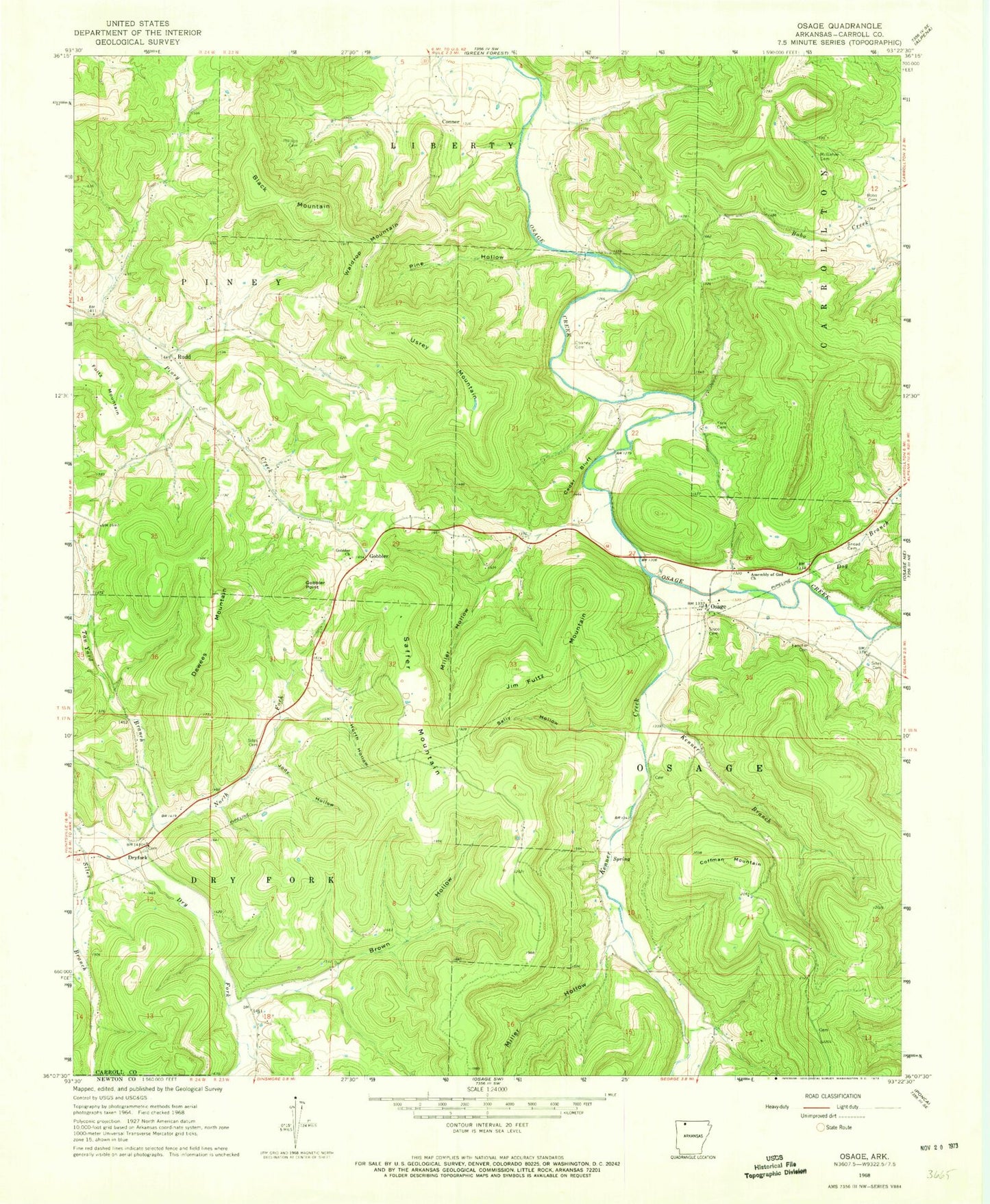
Classic USGS Osage Arkansas 7.5'x7.5' Topo Map
Couldn't load pickup availability
Historical USGS topographic quad map of Osage in the state of Arkansas. Map scale may vary for some years, but is generally around 1:24,000. Print size is approximately 24" x 27"
This quadrangle is in the following counties: Carroll, Madison, Newton.
The map contains contour lines, roads, rivers, towns, and lakes. Printed on high-quality waterproof paper with UV fade-resistant inks, and shipped rolled.
Contains the following named places: Assembly of God Church, Black Mountain, Bobo Cemetery, Brown Hollow, Cedar Bluff, Chaney Cemetery, Coffman Mountain, Conner, Dewees Mountain, Dog Branch, Dryfork, Fancher Cemetery, Fultz Mountain, Gobbler, Gobbler Cemetery, Gobbler Church, Gobbler Point, Hurth Hollow, Jim Fultz Mountain, Jody Hollow, Kenner Branch, Kenner Creek, Lake of No Return, Lake of No Return Dam, Mc Gehee Cemetery, Miller Hollow, North Fork Dry Fork, Osage, Pine Hollow, Rudd, Rudd School, Saffer Mountain, Sally Hollow, Sisco Cemetery, Sites Cemetery, Sneed Cemetery, South Carroll County Volunteer Fire Department Station 1, South Carroll County Volunteer Fire Department Substation, Tan Yard Branch, Township of Dry Fork, Township of Osage, Township of Piney, Usrey Mountain, Waldrop Mountain, York Cemetery


