MyTopo
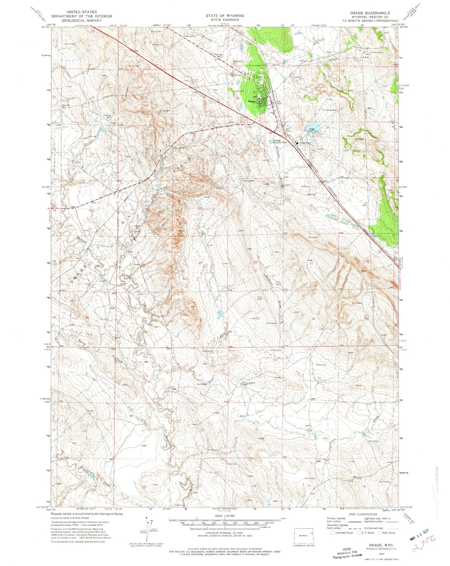
Classic USGS Osage Wyoming 7.5'x7.5' Topo Map
Couldn't load pickup availability
Historical USGS topographic quad map of Osage in the state of Wyoming. Map scale may vary for some years, but is generally around 1:24,000. Print size is approximately 24" x 27"
This quadrangle is in the following counties: Weston.
The map contains contour lines, roads, rivers, towns, and lakes. Printed on high-quality waterproof paper with UV fade-resistant inks, and shipped rolled.
Contains the following named places: Benhart Draw, Black Hills Power and Light Dam, Black Hills Power and Light Reservoir, East Fork Beaver Creek, Garhart Cemetery, Kitty Moats School, Osage, Osage Census Designated Place, Osage Oil Field, Osage Post Office, Osage Volunteer Fire Department and Ambulance, Poison Creek, Spoon Creek