MyTopo
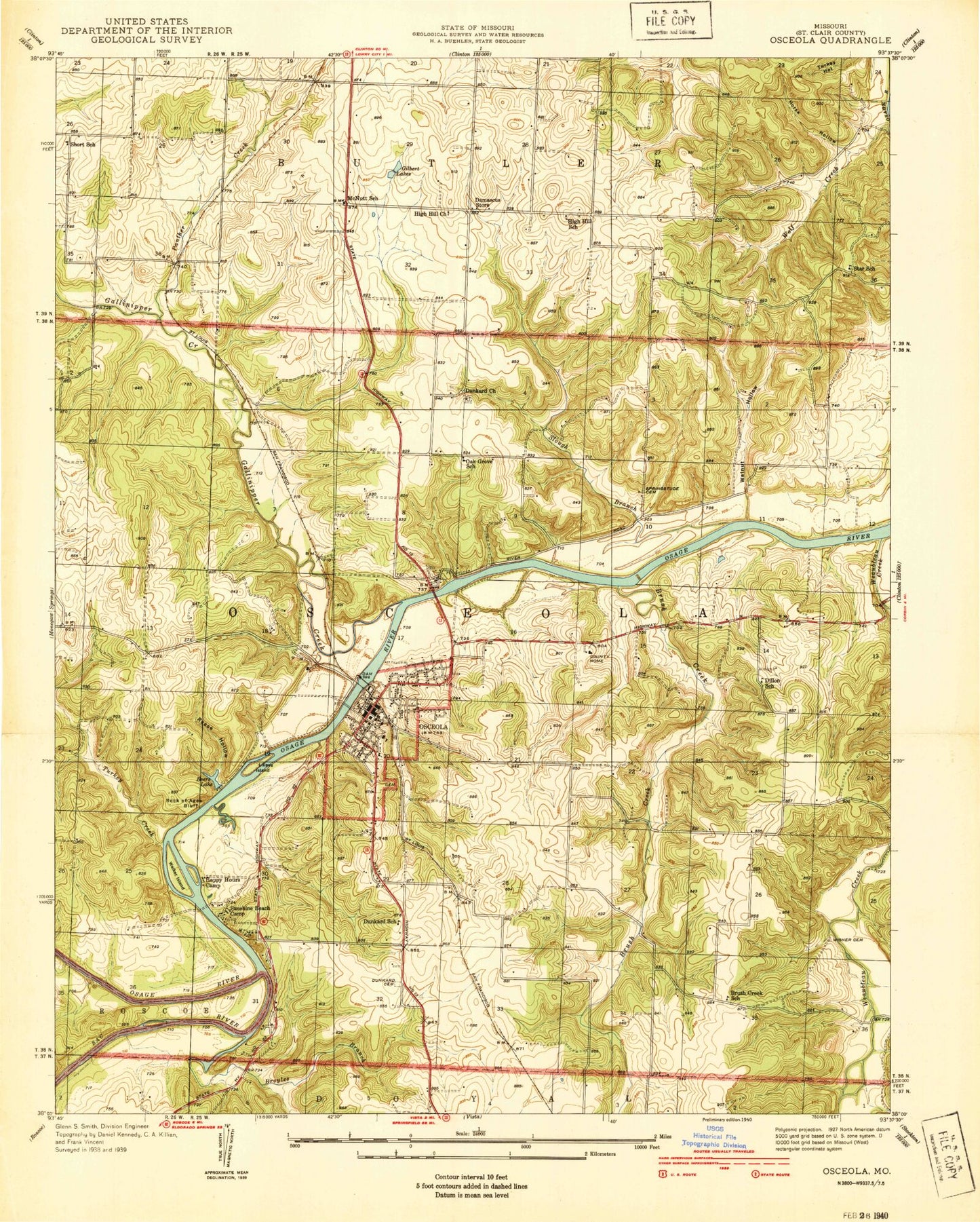
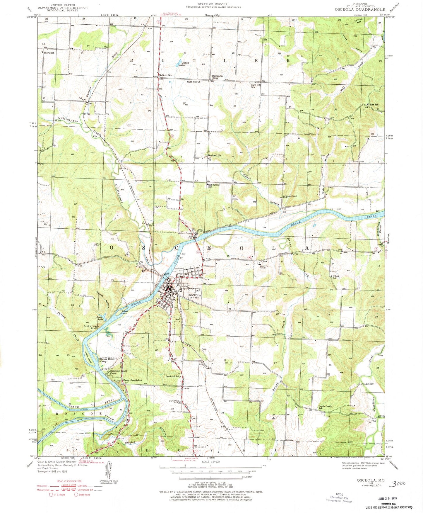
Classic USGS Osceola Missouri 7.5'x7.5' Topo Map
Couldn't load pickup availability
Historical USGS topographic quad map of Osceola in the state of Missouri. Map scale may vary for some years, but is generally around 1:24,000. Print size is approximately 24" x 27"
This quadrangle is in the following counties: St. Clair.
The map contains contour lines, roads, rivers, towns, and lakes. Printed on high-quality waterproof paper with UV fade-resistant inks, and shipped rolled.
Contains the following named places: Beers Lake, Broyles Branch, Brush Creek, Brush Creek Public Use Area, Brush Creek School, Camp Grandview, Choteau's Trading House, City of Osceola, Corbin Lake Dam, Crowes Crossing Public Use Area, Damascus, Dave Rock Natural Area, Dillon School, Dunkard School, First Assembly of God Church, Gallinipper Creek, Gallinipper Creek State Wildlife Area, Gilbert Lakes, Happy Hours Camp, Harry S Truman Reservoir, High Hill Church, High Hill School, Horse Hollow, Lilleys Island, McNutt School, Oak Grove School, Osceola, Osceola Cemetery, Osceola Dam, Osceola Elementary School, Osceola Junior-Senior High School, Osceola Lake, Osceola Municipal Airport, Osceola Post Office, Osceola School, Panther Creek, Pleasant Mound Cemetery, Pleasant Mound Church, Reese Hollow, Resthaven Memorial Gardens, Rock of Ages Bluff, Sac - Osage Fire Protection District, Sac - Osage Hospital, Sac River, Sac-Osage State Wildlife Area, Saint Clair County Sheriff's Office, Short School, Slough Branch, Springstube Cemetery, Star School, Sunshine Beach Camp, Township of Osceola, Turkey Creek, Turkey Creek State Wildlife Area, Walker Island, Walnut Hollow, Weaubleau Creek, Wisner Number 1 Cemetery, Wisner Number 2 Cemetery, ZIP Code: 64776


