MyTopo
Classic USGS Oshawa Minnesota 7.5'x7.5' Topo Map
Regular price
$16.95
Regular price
Sale price
$16.95
Unit price
per
Couldn't load pickup availability
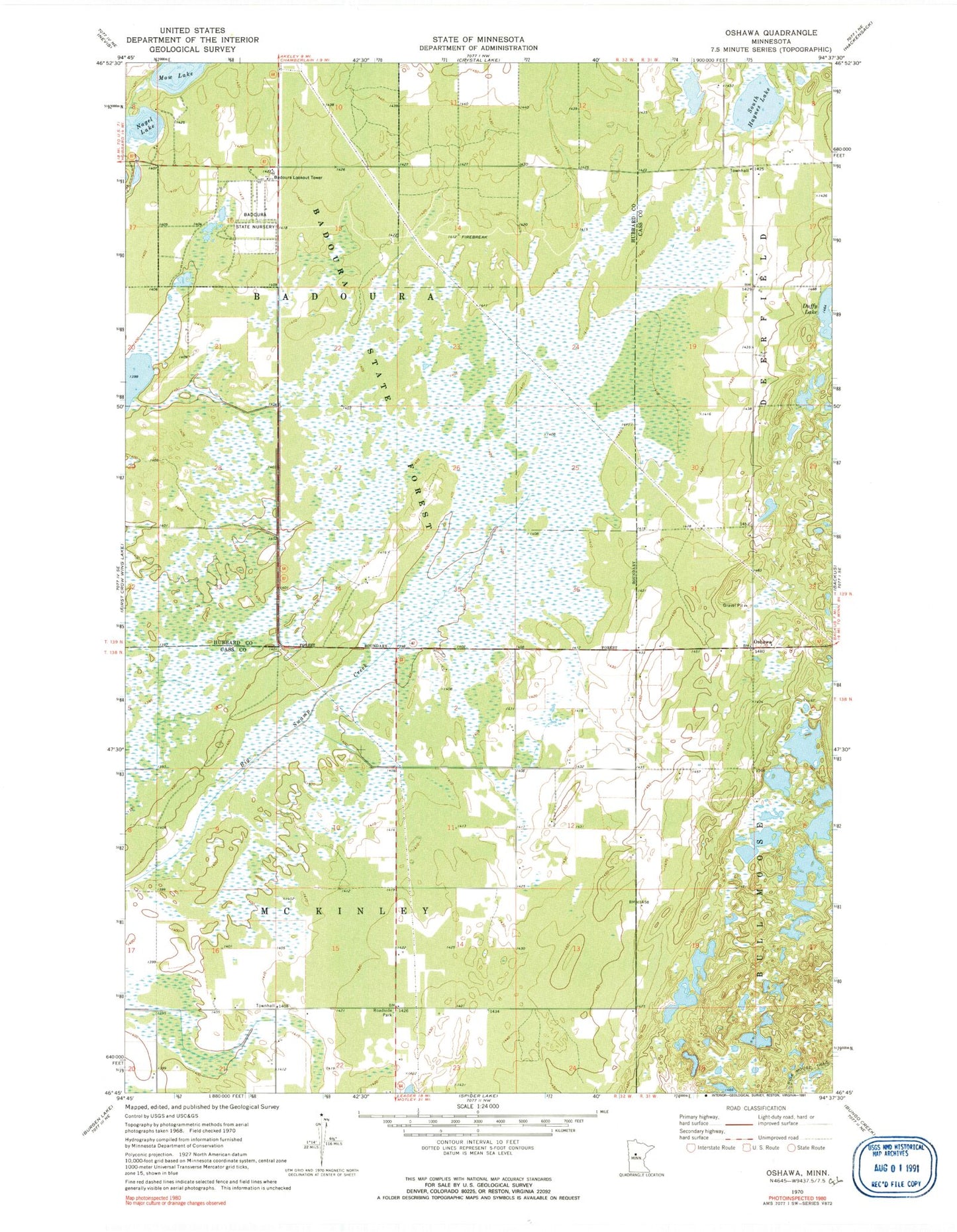
Historical USGS topographic quad map of Oshawa in the state of Minnesota. Map scale may vary for some years, but is generally around 1:24,000. Print size is approximately 24" x 27"
This quadrangle is in the following counties: Cass, Hubbard.
The map contains contour lines, roads, rivers, towns, and lakes. Printed on high-quality waterproof paper with UV fade-resistant inks, and shipped rolled.
Contains the following named places: Badoura Lookout Tower, Badoura State Forest, Badoura State Nursery, Bull Moose Trail, Duffy Lake, Mow Lake, Nagel Lake, Oshawa, Oshawa Post Office, South Haynes Lake, Township of Badoura, Township of McKinley