MyTopo
Classic USGS Oskaloosa Illinois 7.5'x7.5' Topo Map
Couldn't load pickup availability
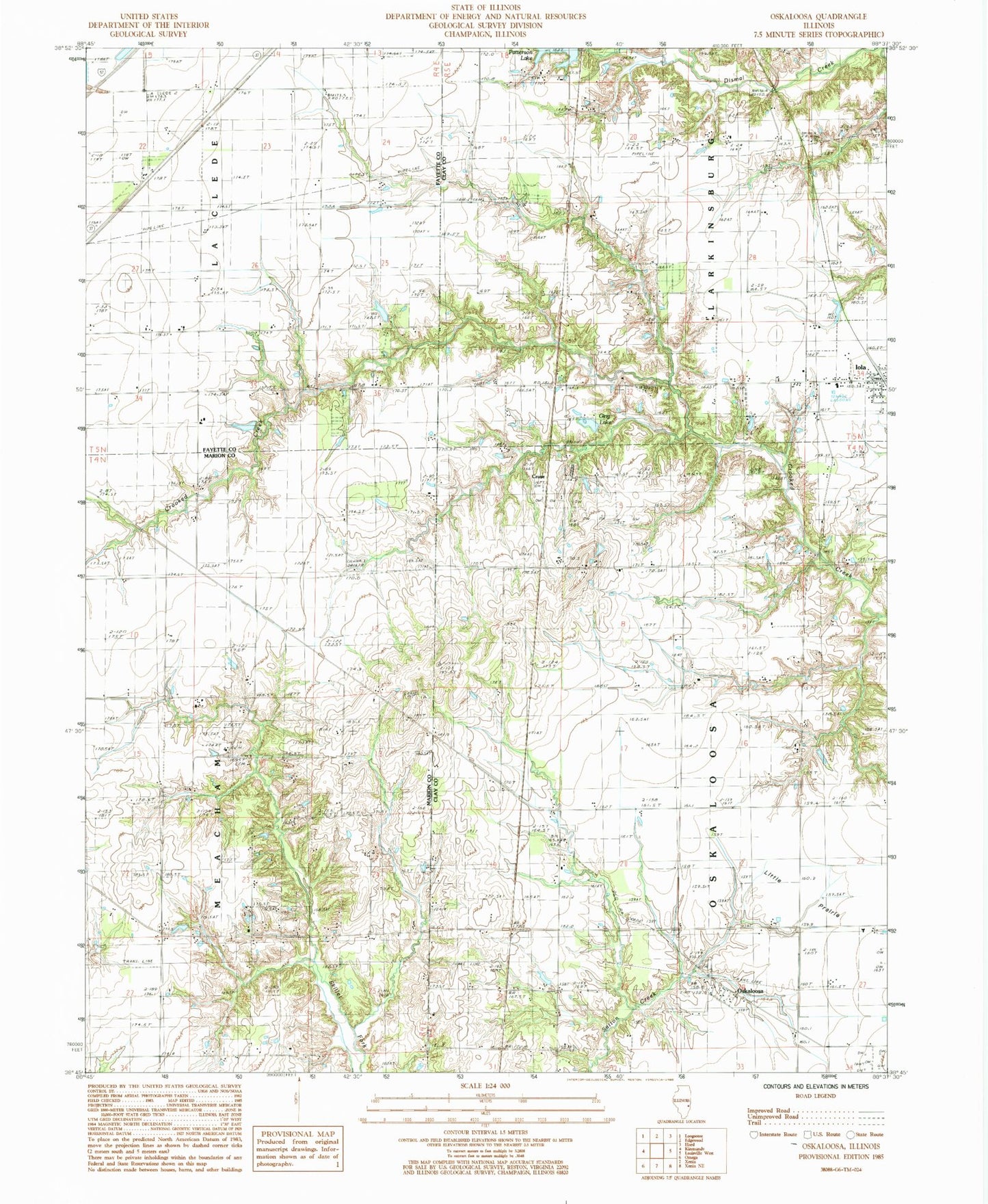
Historical USGS topographic quad map of Oskaloosa in the state of Illinois. Map scale may vary for some years, but is generally around 1:24,000. Print size is approximately 24" x 27"
This quadrangle is in the following counties: Clay, Fayette, Marion.
The map contains contour lines, roads, rivers, towns, and lakes. Printed on high-quality waterproof paper with UV fade-resistant inks, and shipped rolled.
Contains the following named places: Courson Cemetery, Crooked Creek Church, Cruse, Elder Cemetery, Ging Lake, Higginbothan Cemetery, Iola, Iola Cemetery, Iola Post Office, Keen Chapel, Keen Chapel Cemetery, Littleton Cemetery, Lynn Branch Church, Meacham Church, Miletus School, Oskaloosa, Oskaloosa Cemetery, Oskaloosa School, Patterson Lake, Pleasant View School, Shiloh Church, Township of Larkinsburg, Township of Oskaloosa, Village of Iola