MyTopo
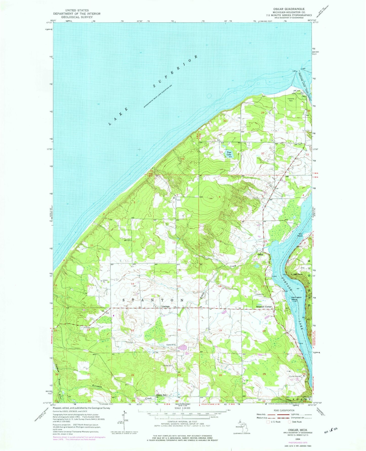
Classic USGS Oskar Michigan 7.5'x7.5' Topo Map
Couldn't load pickup availability
Historical USGS topographic quad map of Oskar in the state of Michigan. Map scale may vary for some years, but is generally around 1:24,000. Print size is approximately 24" x 27"
This quadrangle is in the following counties: Houghton.
The map contains contour lines, roads, rivers, towns, and lakes. Printed on high-quality waterproof paper with UV fade-resistant inks, and shipped rolled.
Contains the following named places: Harrington Island, High Point, Keranen Creek, Liminga, Liminga Post Office, Mill Point, Onnela Post Office, Onnela School, Oskar, Oskar Cemetery, Oskar Post Office, Redridge Cemetery, Schlot Creek, Schmidt Corner, Spring Creek, Stanton Township Volunteer Fire Department Precinct 1, Tear Lake