MyTopo
Classic USGS Oss Peak Washington 7.5'x7.5' Topo Map
Regular price
$16.95
Regular price
Sale price
$16.95
Unit price
per
Couldn't load pickup availability
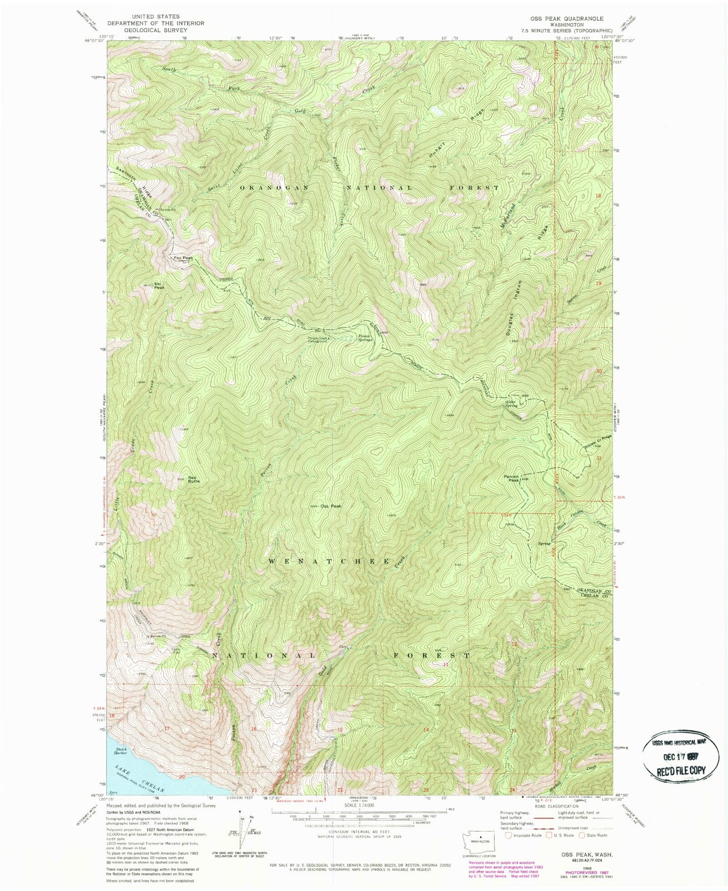
Historical USGS topographic quad map of Oss Peak in the state of Washington. Map scale may vary for some years, but is generally around 1:24,000. Print size is approximately 24" x 27"
This quadrangle is in the following counties: Chelan, Okanogan.
The map contains contour lines, roads, rivers, towns, and lakes. Printed on high-quality waterproof paper with UV fade-resistant inks, and shipped rolled.
Contains the following named places: Alder Spring, Camp Four, Douglas Ingram Ridge, Dutch Harbor, Fisher Creek, Fox Peak, Hungry Ridge, Oss Peak, Parrish Peak, Poison Creek, Poison Creek Campground, Poison Springs, Red Butte, Saint Luise Creek, Ski Peak, Squaw Creek Ridge