MyTopo
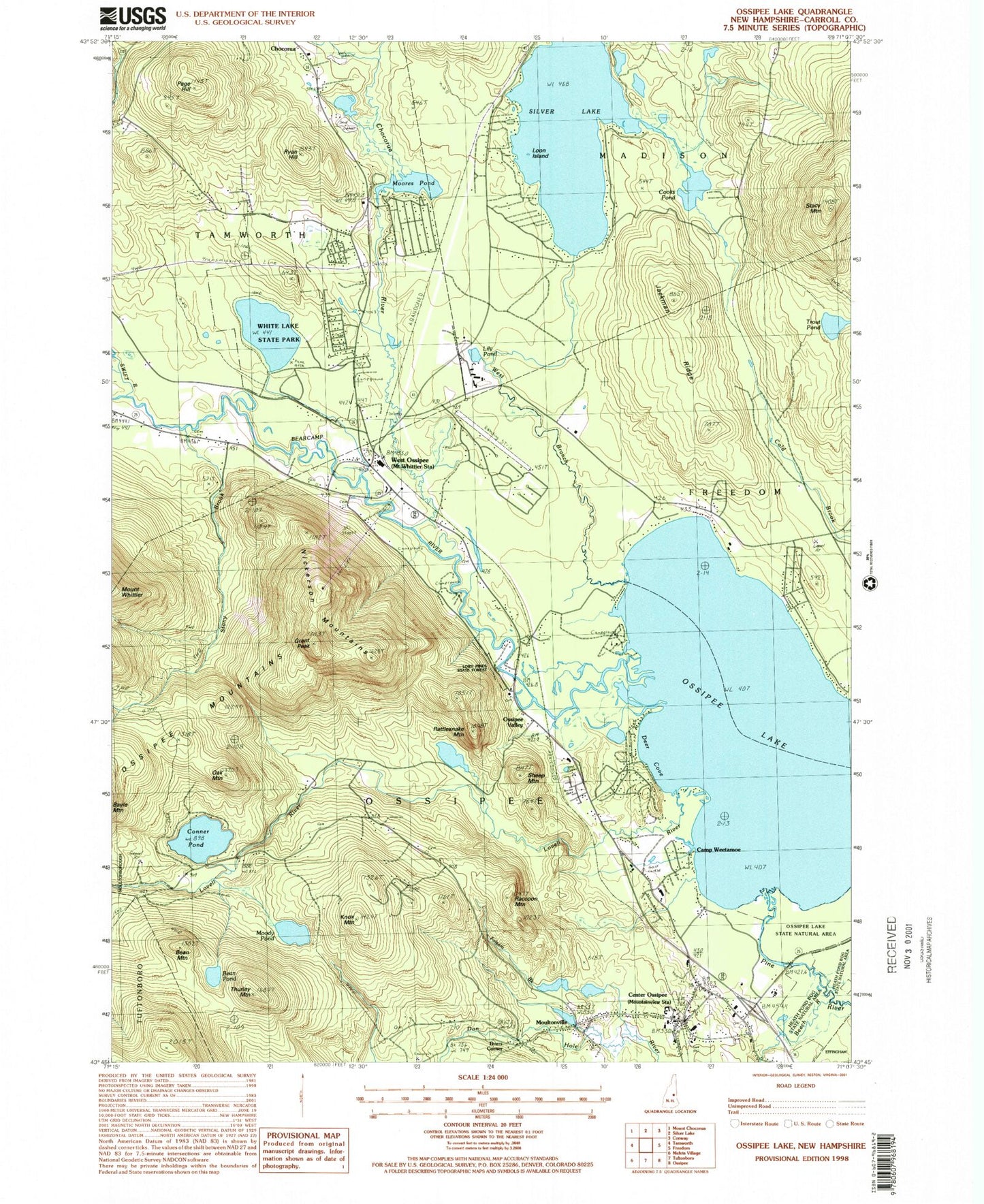
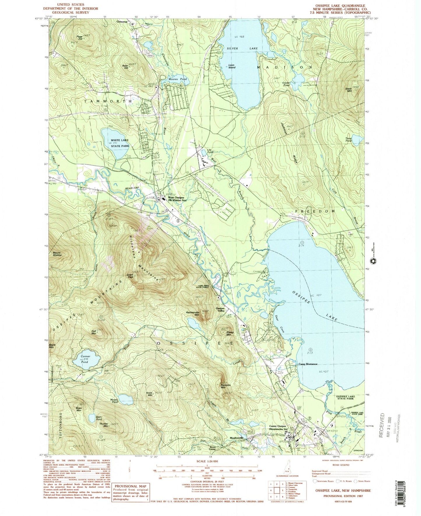
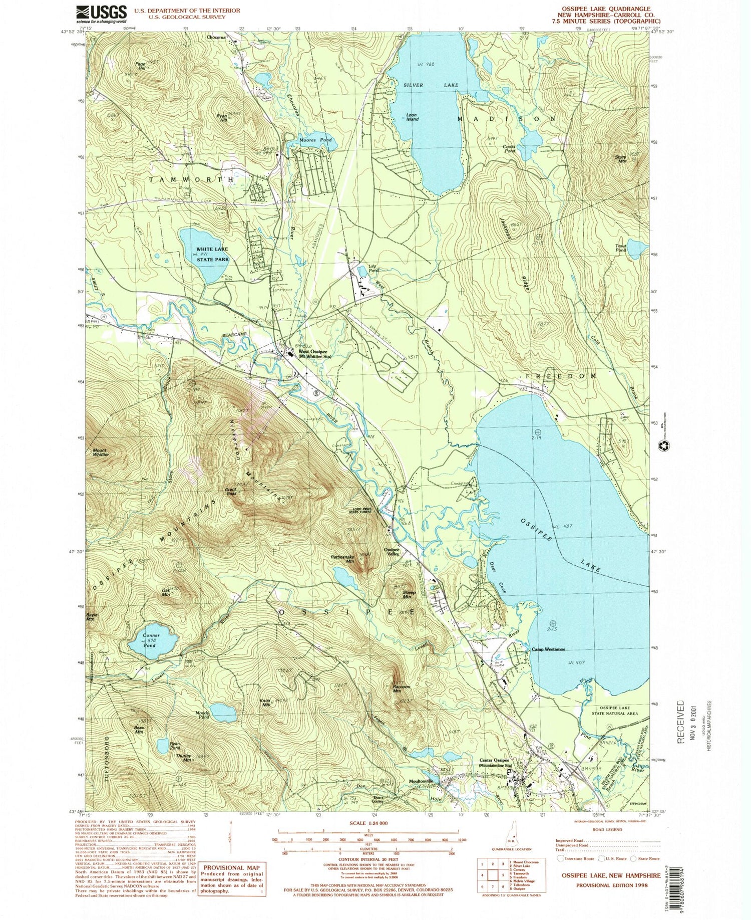
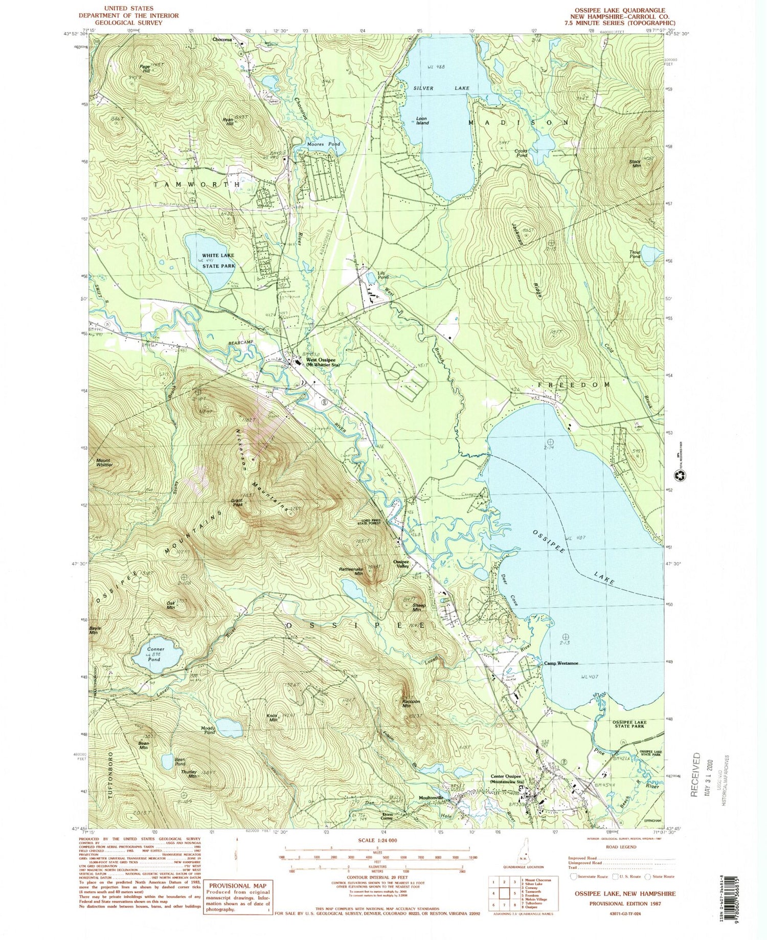
Classic USGS Ossipee Lake New Hampshire 7.5'x7.5' Topo Map
Couldn't load pickup availability
Historical USGS topographic quad map of Ossipee Lake in the state of New Hampshire. Typical map scale is 1:24,000, but may vary for certain years, if available. Print size: 24" x 27"
This quadrangle is in the following counties: Carroll.
The map contains contour lines, roads, rivers, towns, and lakes. Printed on high-quality waterproof paper with UV fade-resistant inks, and shipped rolled.
Contains the following named places: Bean Mountain, Bean Pond, Beech River, Camp Weetamoe, Center Ossipee, Conner Pond, Cooks Pond, Deer Cove, Dorrs Corner, Folsom Brook, Grant Peak, Jackman Ridge, Knox Mountain, Lily Pond, Loon Island, Lovell River, Moody Pond, Moores Pond, Moultonville, Nickerson Mountains, Oak Mountain, Ossipee Lake, Ossipee Valley, Page Hill, Pine River, Raccoon Mountain, Rattlesnake Mountain, Ryan Hill, Sheep Mountain, Stacy Mountain, Stony Brook, Swift River, Thurley Mountain, Trout Pond, West Branch, West Ossipee, White Lake State Park, Bearcamp River, Chocorua River, Deer Brook, Mill Brook, Silver Lake, Carroll County, Meaders Heliport, White Mountain Gateway Airport (historical), Windsock Village Airport, Silver Lake Dam, Dan Hole River Dam, Dan Hole River Reservoir, Camp Calumet, Camp Cody, Camp Winnemont, Campground Number 1, Campground Number 2, Campground Number 3, Center Ossipee Post Office, Deer Cap Ski Touring Center, Indian Mound Golf Course, Mount Whittier Ski Area, Ossipee Central School, Saint Andrews Church, West Ossipee Post Office, White Lake, White Lake Camping Ground, Whittier Bridge, West Ossipee Fire and Rescue Department, Center Ossipee Fire and Rescue, Center Ossipee Census Designated Place, Lifestar Emergency Medical Service, Ossipee Police Department, New Hampshire State Police Troop E


