MyTopo
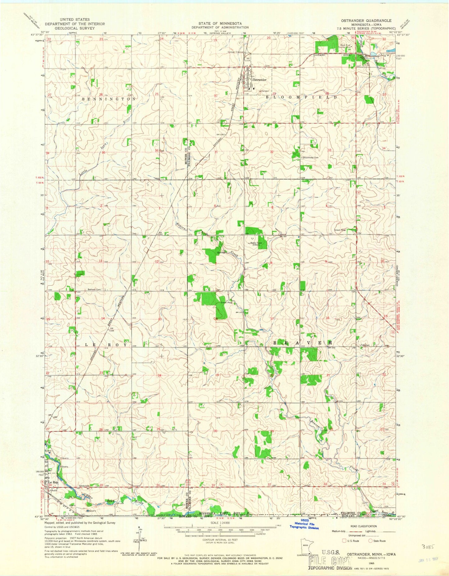
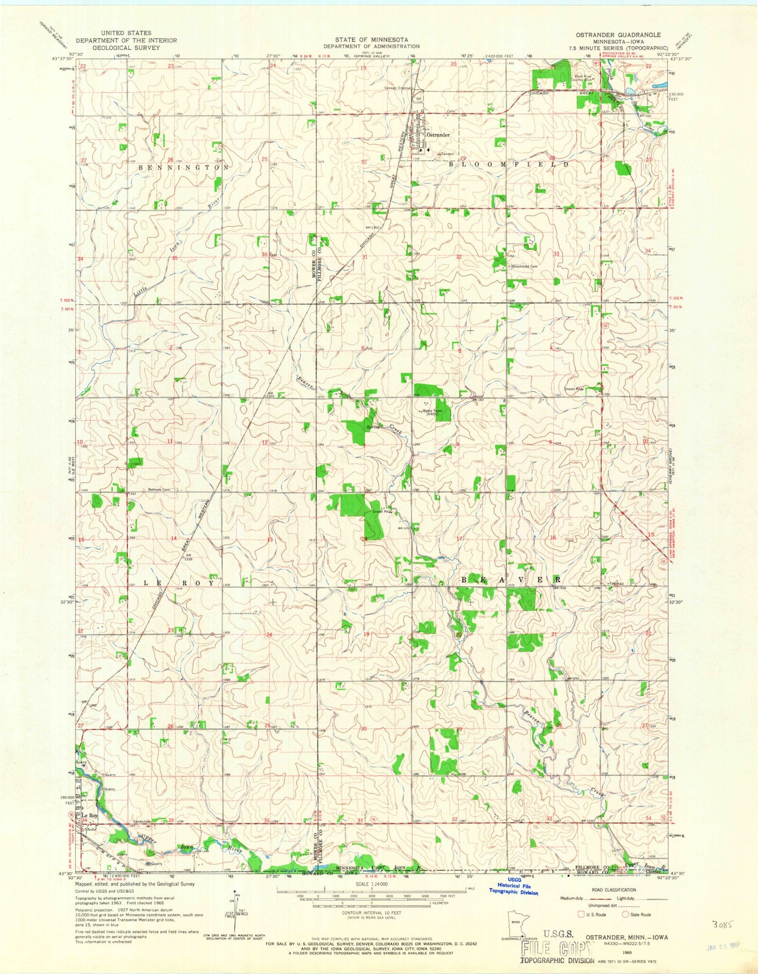
Classic USGS Ostrander Minnesota 7.5'x7.5' Topo Map
Couldn't load pickup availability
Historical USGS topographic quad map of Ostrander in the state of Minnesota. Map scale may vary for some years, but is generally around 1:24,000. Print size is approximately 24" x 27"
This quadrangle is in the following counties: Fillmore, Howard, Mower.
The map contains contour lines, roads, rivers, towns, and lakes. Printed on high-quality waterproof paper with UV fade-resistant inks, and shipped rolled.
Contains the following named places: Beaver Creek, Bethany Cemetery, Bloomfield Cemetery, City of Ostrander, KROC-FM (Rochester), KTTC-TV (Rochester), Le Roy Clinic, Ostrander, Ostrander Alternative School, Ostrander Fire Department, Ostrander Lutheran Cemetery, Ostrander Mobile Home Park, Ostrander Nursing Home, Ostrander Police Department, Ostrander Post Office, Root River Country Club, Township of Beaver, Trinity Lutheran Church, ZIP Codes: 55951, 55961