MyTopo
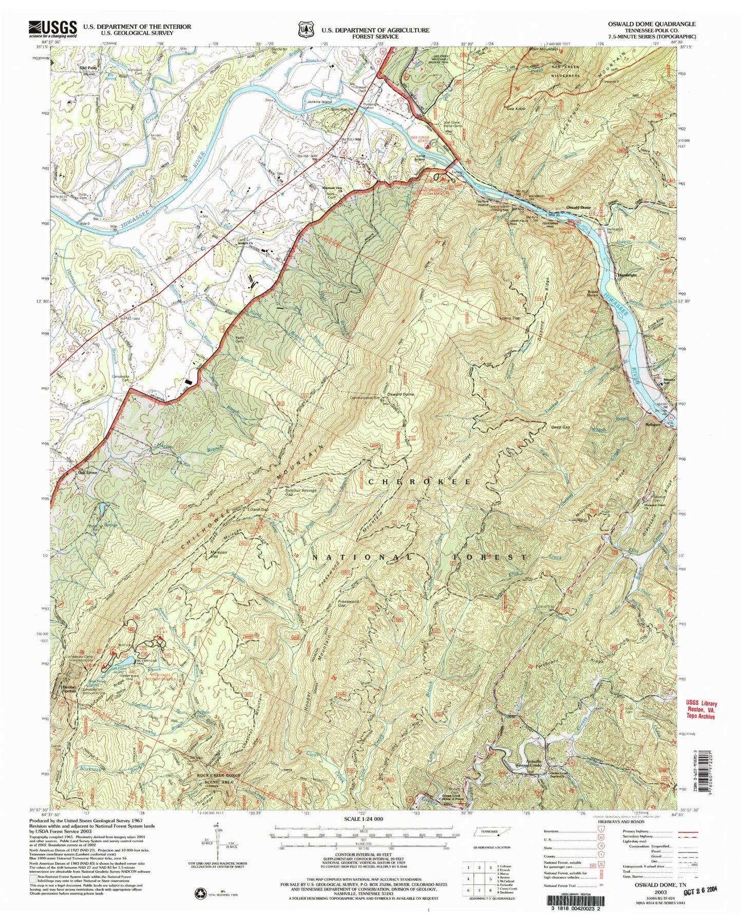
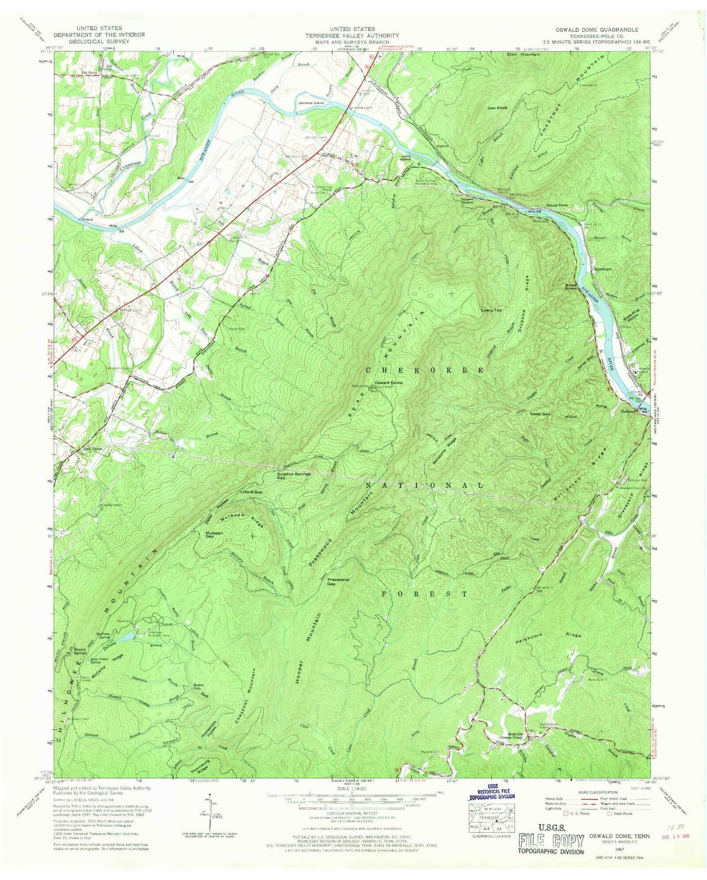
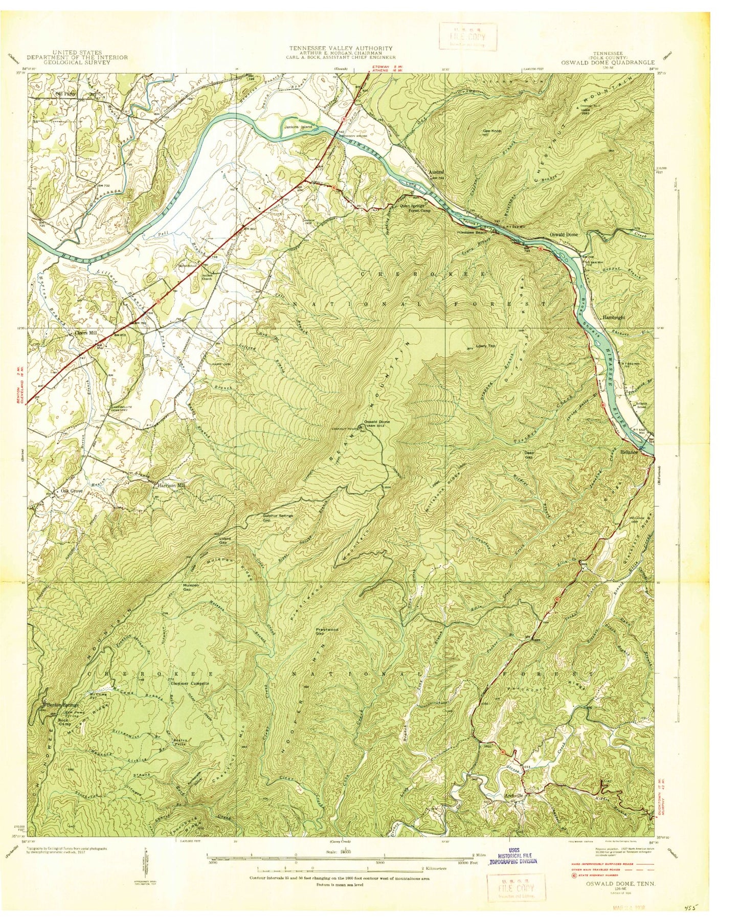
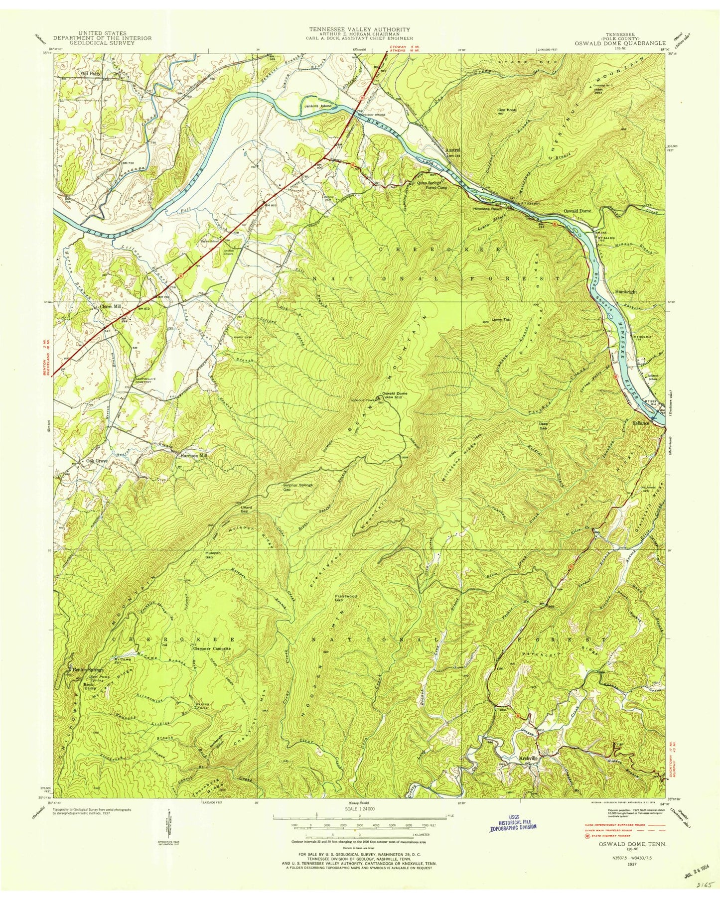
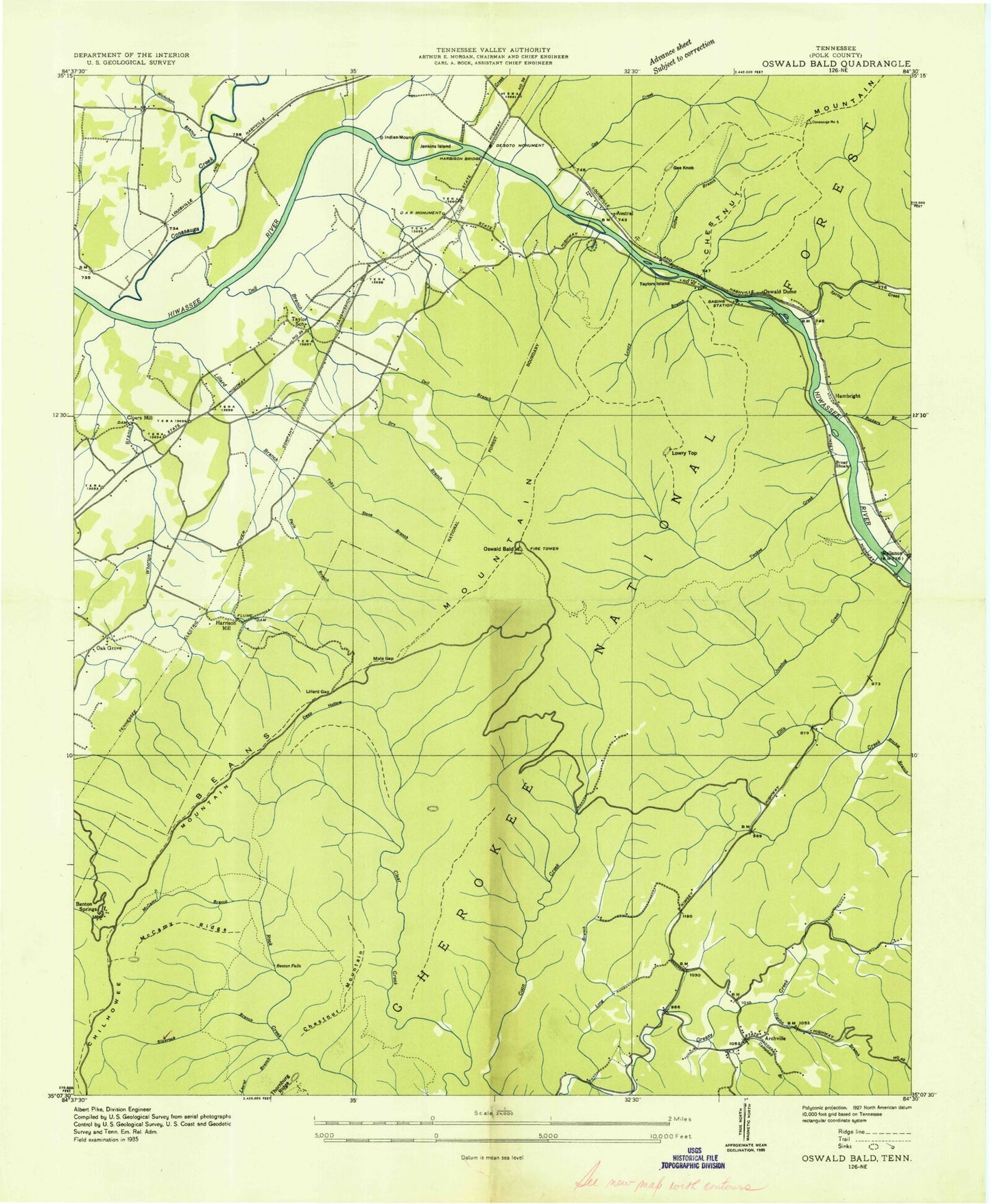
Classic USGS Oswald Dome Tennessee 7.5'x7.5' Topo Map
Couldn't load pickup availability
Historical USGS topographic quad map of Oswald Dome in the state of Tennessee. Typical map scale is 1:24,000, but may vary for certain years, if available. Print size: 24" x 27"
This quadrangle is in the following counties: Polk.
The map contains contour lines, roads, rivers, towns, and lakes. Printed on high-quality waterproof paper with UV fade-resistant inks, and shipped rolled.
Contains the following named places: Broad Shoals, Parris Cemetery, Chestnut Mountain, Chilhowee Mountain, Nicholson Branch, Siccowee Branch, Silvermine Branch, Slickrock Branch, Spanking Slump Branch, Spring Creek, Spring Falls Branch, Sulphur Springs Gap, Taylors Island, Tieskee Creek, Toby Stone Branch, Watertank Branch, Wildcat Branch, Antioch Baptist Church, Archville, Austral, Bates Branch, Bates Cemetery, Bean Mountain, Benton Falls, Benton Springs, Big Spring, Biggs Spring Branch, Brock Graveyard Cemetery, Campbell Branch, Campbellite Cemetery, Carney Branch, Chestnut Mountain, Chilhowee Recreation Area, Clear Creek Trail, Clemmer Trail, Coffee Branch, Conasauga Creek, Dairy Branch, Deep Gap, Deep Hollow, Dry Branch, Drypond Branch, Drypond Ridge, Dunn Branch, Dunn Cemetery, Ernie King Hollow, Franklin Spring Branch, Gee Creek, Gee Knob, Graveyard Ridge, Greasy Creek School, Hambright, Hancock Licklog Branch, Hawkins Branch, Higdon Branch, Hiwassee Union Church, Hooper Mountain, Hopper Branch, Horton Branch, Jenkins Island, Junebug Creek, Laurel Branch, Left Prong Hiwassee River, Lillard Branch, Lillard Gap, Long Branch, Long Island, Lowry Branch, Lowry Cove Trail, Lowry Top, McCamy Branch, McCamy Ridge, McCamy Spring, Millpoint Ridge, Millstone Ridge, Mountain View Church, Mulepen Branch, Mulepen Gap, Mulepen Ridge, Nicholson Cemetery, Oak Grove, Old Patty, Oswald Dome, Oswald Dome, Oswald Dome Trail, Parchcorn Ridge, Parker Branch, Pell Branch, Presswood Branch, Presswood Gap, Presswood Mountain, Prock Branch, Quinn Springs Recreation Area, Ram Pump Spring, Rattlesnake Hollow, Reliance Cemetery, Reliance School, Right Prong Junebug Creek, Ritchie Branch, Ruckers Branch, Runyon Cemetery, Chilhowee Airport, McKomey Dam, McKomey Lake, McCamy Dam, McCamy Lake, Lake Agape, Lake Agape Dam, Cloers Mill (historical), Columbus (historical), DeSoto Monument, Harrison Mill (historical), Hiwassee Gap, Savannah Ford, Smiths Mill (historical), Taylor School (historical), Loop B, Chilhowee Mountain Observation Site, Confederate Camp Interpretive Site, Loop A, A and B Campground, Oswald Dome Lookout, Taylors Island Fishing Site, Gee Creek Campground, Tennessee State Boat Site, Redleaf Trail, Loop C D E and F, Greasy Creek House of Prayer, Greasy Creek Baptist Church, Oak Grove Baptist Church, Arbutus Trail, Azalea Trail, Benton Falls Trail, Big Pine Trail, Chestnut Mountain Trail, Chilhowee Forest Walk Trail, Clemmer Campsite, Fishermans Trail, Gee Creek Trail, Harbnson Bridge, Lost Corral Recreation Area, Lowry Falls Trail, Rock Creek Scenic Area, Spanking Stump Trail, Hiwassee River Recreation Area, Benton Division (historical), Parris Branch, Commissioner District 1, West Polk County Fire and Rescue Station 6, West Polk County Fire and Rescue Station 5, Broad Shoals, Parris Cemetery, Chestnut Mountain, Chilhowee Mountain, Nicholson Branch, Siccowee Branch, Silvermine Branch, Slickrock Branch, Spanking Slump Branch, Spring Creek, Spring Falls Branch, Sulphur Springs Gap, Taylors Island, Tieskee Creek, Toby Stone Branch, Watertank Branch, Wildcat Branch, Antioch Baptist Church, Archville, Austral, Bates Branch, Bates Cemetery, Bean Mountain, Benton Falls, Benton Springs, Big Spring, Biggs Spring Branch, Brock Graveyard Cemetery, Campbell Branch, Campbellite Cemetery, Carney Branch, Chestnut Mountain, Chilhowee Recreation Area, Clear Creek Trail, Clemmer Trail, Coffee Branch, Conasauga Creek, Dairy Branch, Deep Gap, Deep Hollow, Dry Branch, Drypond Branch, Drypond Ridge, Dunn Branch, Dunn Cemetery, Ernie King Hollow, Franklin Spring Branch, Gee Creek, Gee Knob, Graveyard Ridge, Greasy Creek School, Hambright, Hancock Licklog Branch, Hawkins Branch, Higdon Branch, Hiwassee Union Church, Hooper Mountain, Hopper Branch, Horton Branch, Jenkins Island, Junebug Creek, Laurel Branch, Left Prong Hiwassee River, Lillard Branch, Lillard Gap, Long Branch, Long Island, Lowry Branch, Lowry Cove Trail, Lowry Top, McCamy Branch, McCamy Ridge, McCamy Spring, Millpoint Ridge, Millstone Ridge, Mountain View Church, Mulepen Branch, Mulepen Gap, Mulepen Ridge, Nicholson Cemetery, Oak Grove, Old Patty, Oswald Dome, Oswald Dome, Oswald Dome Trail, Parchcorn Ridge
