MyTopo
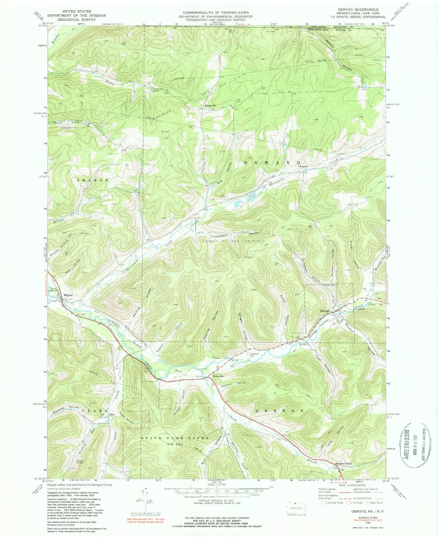
Classic USGS Oswayo Pennsylvania 7.5'x7.5' Topo Map
Couldn't load pickup availability
Historical USGS topographic quad map of Oswayo in the state of Pennsylvania. Typical map scale is 1:24,000, but may vary for certain years, if available. Print size: 24" x 27"
This quadrangle is in the following counties: Allegany, Potter.
The map contains contour lines, roads, rivers, towns, and lakes. Printed on high-quality waterproof paper with UV fade-resistant inks, and shipped rolled.
Contains the following named places: Big Hollow, Bradley Run, Brizzee Hollow, Bryant Hollow, Bunker Hollow, Canada Run, Clara Creek, Collins Hollow, Deering Hollow, Dwight Hollow, Elevenmile Creek, Estes Hollow, Gilmore Hollow, Grover Hollow, Hebron Center, Hemlock Hollow Run, Herring Hollow, Lawson Hollow, Long Hollow, Millport, Oswayo, Ross Hollow, Sharon Oil and Gas Field, South Branch Oswayo Creek, Straight Hollow, Toad Hollow, Topeka Creek, Tyler Hollow, Walman Nichlos Hollow, West Branch Whitney Creek, Whitney Creek, Wokeley Hollow, Hollenback Hollow, Adams Airport, Kenyon Hollow, Castle Hollow, Chrystal, Clara, Coneville, Kibbeville, Plank Road School (historical), Kenyon School, Wildcat School, Clara School, Borough of Oswayo, Township of Oswayo


