
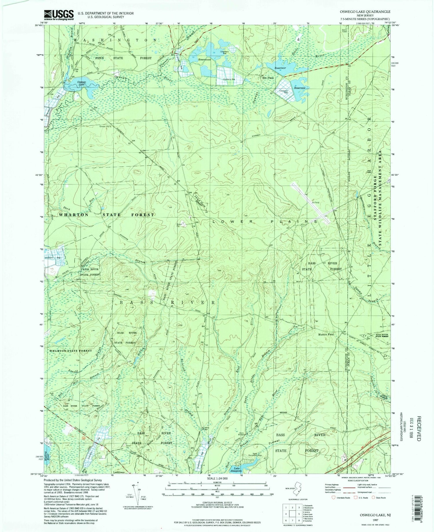
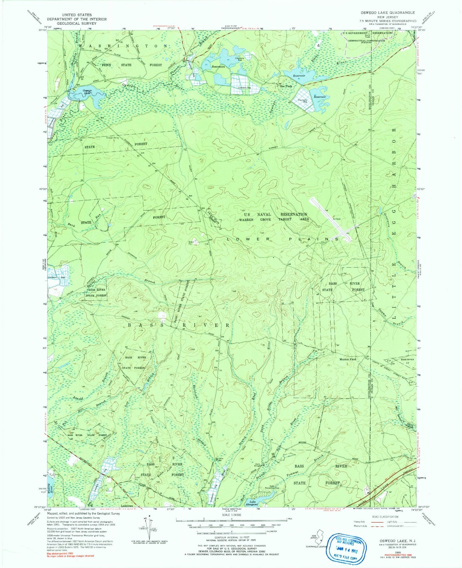
MyTopo
Classic USGS Oswego Lake New Jersey 7.5'x7.5' Topo Map
Couldn't load pickup availability
Historical USGS topographic quad map of Oswego Lake in the state of New Jersey. Typical map scale is 1:24,000, but may vary for certain years, if available. Print size: 24" x 27"
This quadrangle is in the following counties: Burlington, Ocean.
The map contains contour lines, roads, rivers, towns, and lakes. Printed on high-quality waterproof paper with UV fade-resistant inks, and shipped rolled.
Contains the following named places: Lake Absegami, Bartletts Branch, Bartletts Bridge, Bass River State Forest, Breeches Branch, Dans Bridge, Dans Bridge Branch, Dry Branch, Lower Plains, Munion Field, Oswego Lake, Papoose Branch, Penn State Forest, Plains Branch, Sim Place, Tommys Branch, Township of Bass River, Penn Place, High Bridge, Oswego Dam, Lake Absegami Dam, Warren Grove Range, Warren Grove Range Airport


