MyTopo
Classic USGS Oswego Kansas 7.5'x7.5' Topo Map
Couldn't load pickup availability
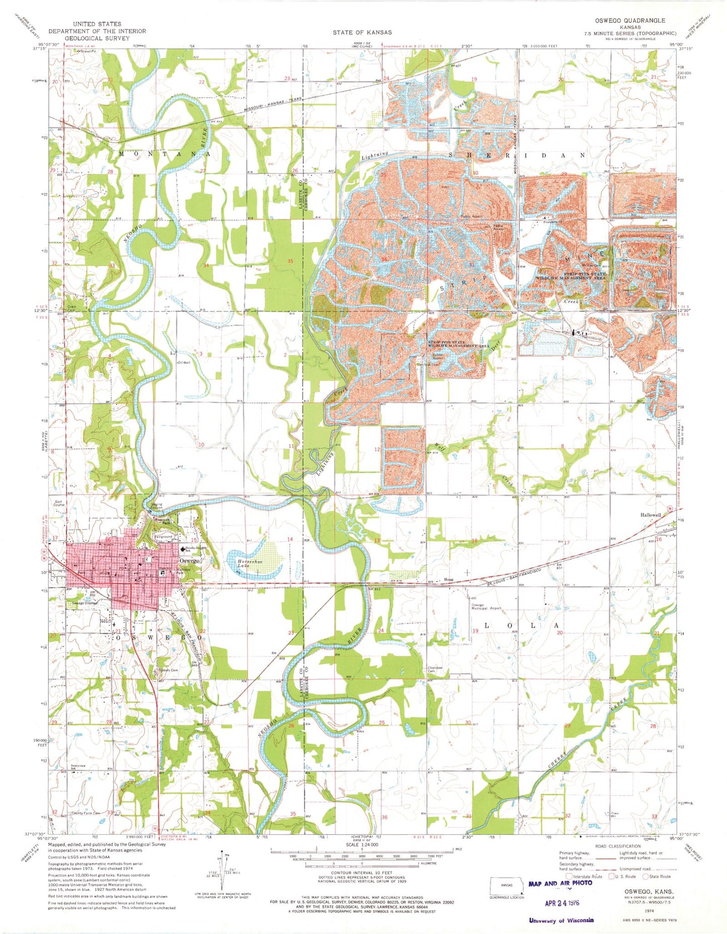
Historical USGS topographic quad map of Oswego in the state of Kansas. Map scale may vary for some years, but is generally around 1:24,000. Print size is approximately 24" x 27"
This quadrangle is in the following counties: Cherokee, Labette.
The map contains contour lines, roads, rivers, towns, and lakes. Printed on high-quality waterproof paper with UV fade-resistant inks, and shipped rolled.
Contains the following named places: Assembly of God Church, Cherokee Cemetery, City of Oswego, Crain Cemetery, Deer Creek, Diamond School, Dickson, Eastside Elementary School, First Baptist Church, First Southern Baptist Church, First United Presbyterian Church, Friends Church, Friendship Friends Church Cemetery, Friendship School, Garrison Cemetery, Hallowell Census Designated Place, Hillside Mobile Home Park, Hoag, Horseshoe Lake, Labette County Ambulance Service, Labette County Courthouse, Labette County Fairgrounds, Labette County Jail, Labette County Sheriff's Office, Lightning Creek, Mathews Park, McKee Cemetery, Mother of God Catholic Church, Neosho Heights Elementary School, Oswego, Oswego Christian Church, Oswego City Hall, Oswego Community Center, Oswego Community Hospital, Oswego Fire Department, Oswego First United Methodist Church, Oswego Golf Course, Oswego Historical Museum - The Log Cabin, Oswego Junior / Senior High School, Oswego Middle School, Oswego Municipal Airport, Oswego Police Department, Oswego Post Office, Oswego Public Library, Oswego Public Works Department, Pioneer School, Poor Boy Cemetery, Redbud School, Riverside Park, Saint Paul Lutheran Church, School Number 90, Sherman City, Stice School, Sunnyview School, Tibbets Cemetery, Timber Hill, Township of Lola, Township of Oswego, Wolf Creek


