MyTopo
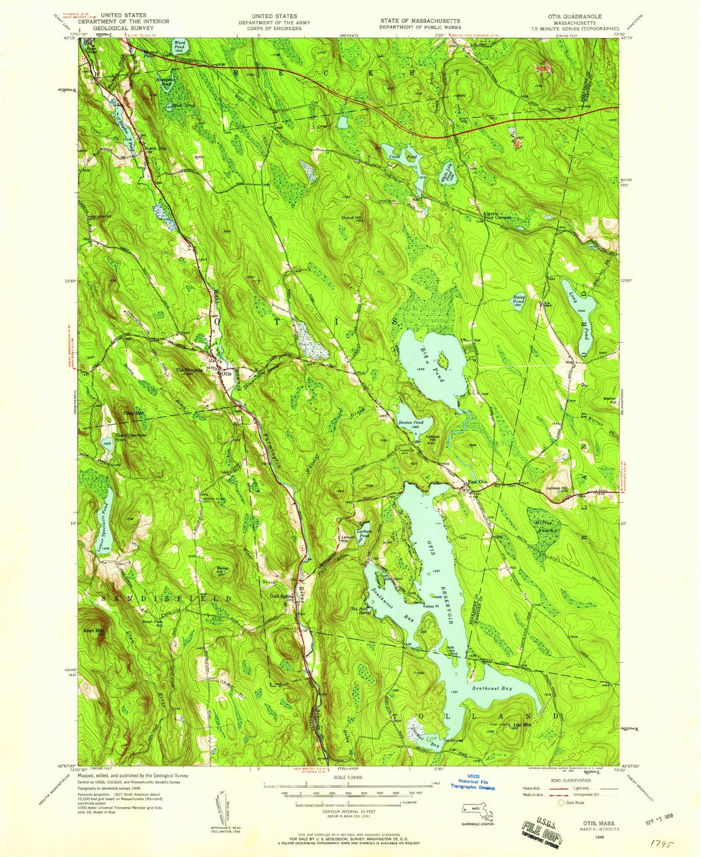
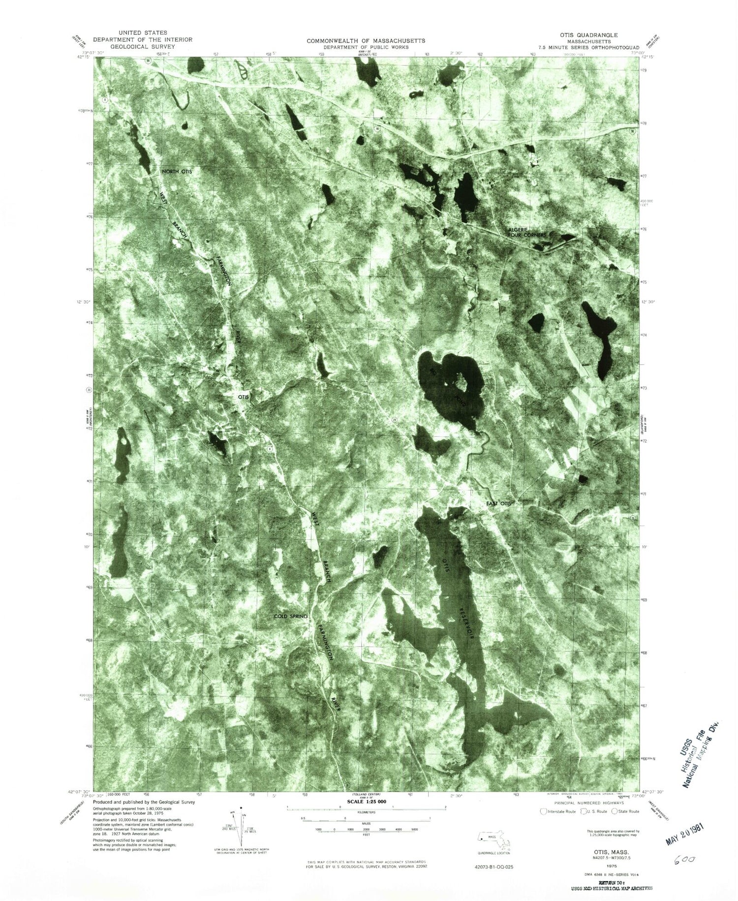
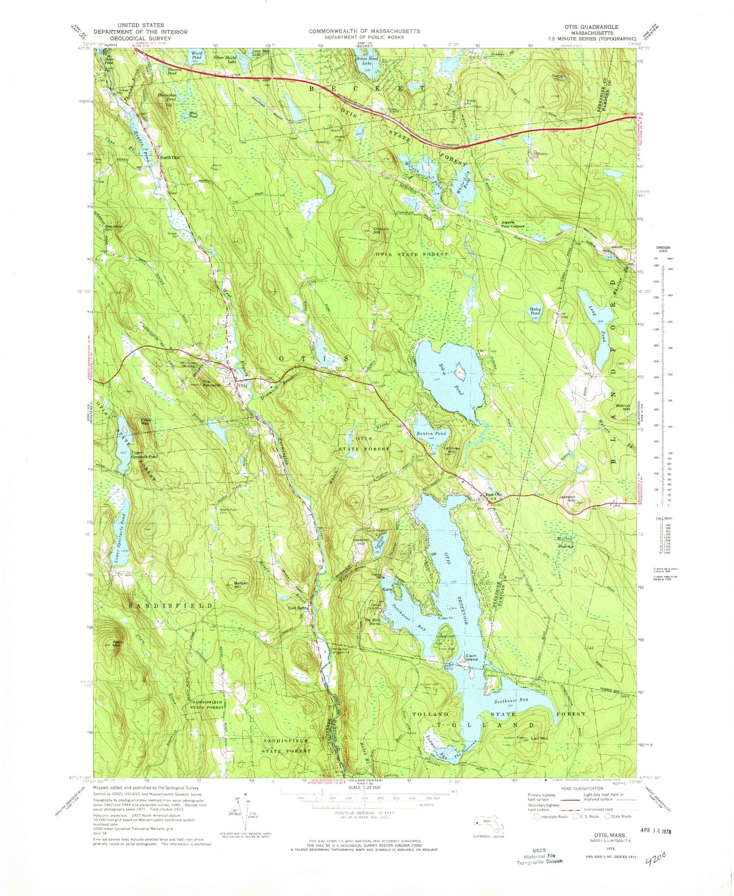
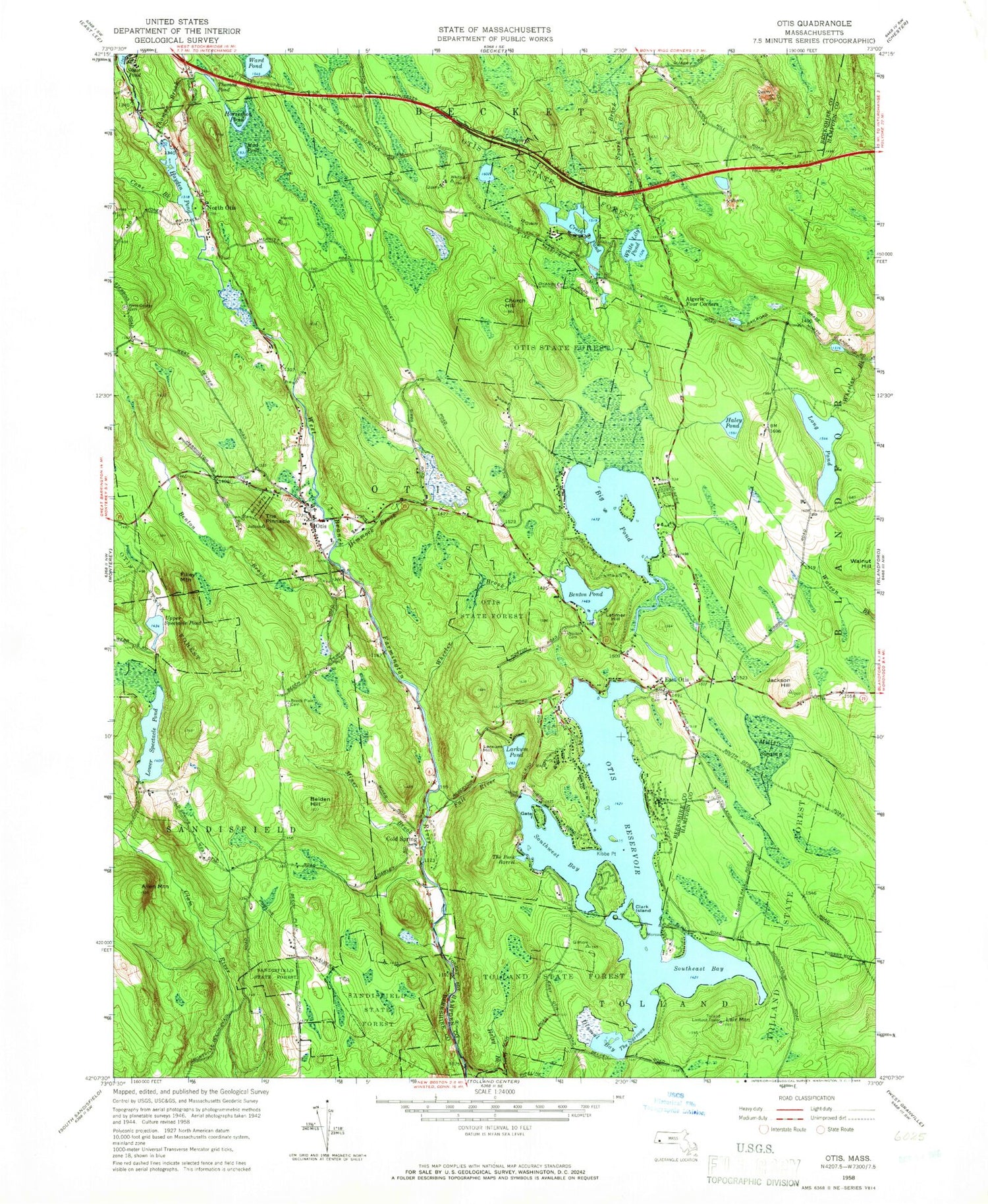
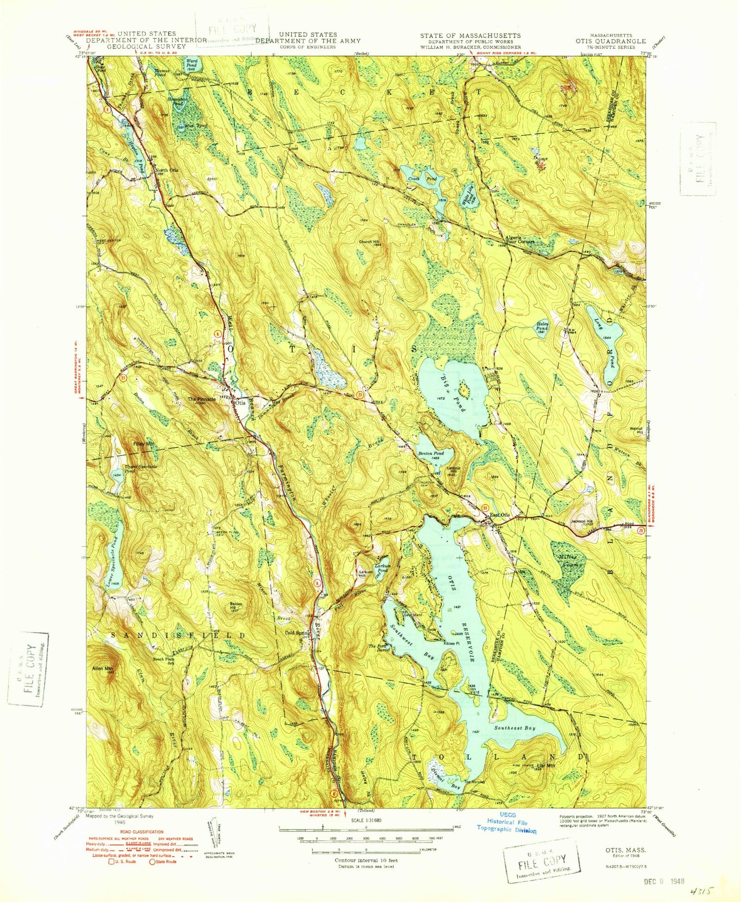
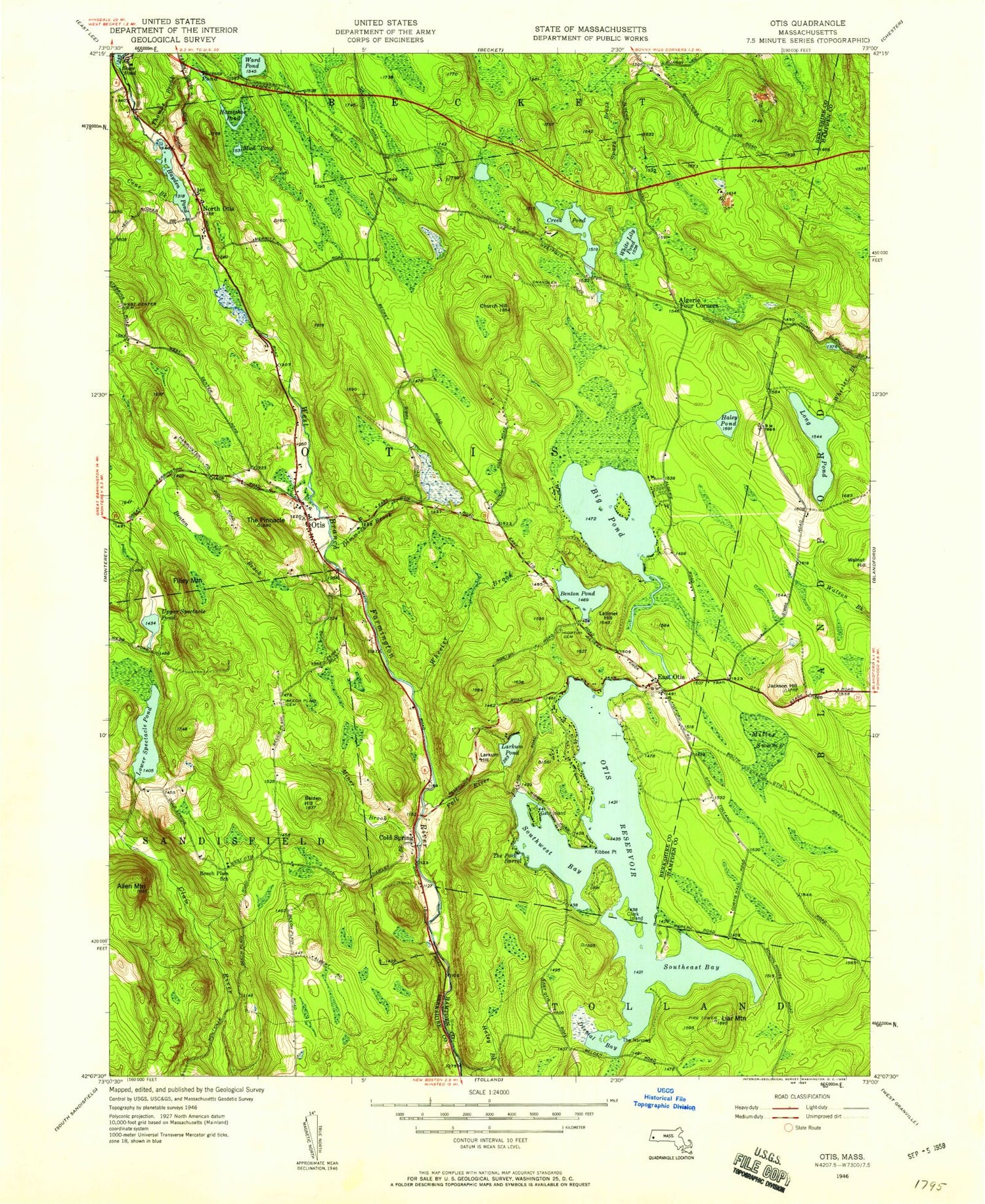
Classic USGS Otis Massachusetts 7.5'x7.5' Topo Map
Couldn't load pickup availability
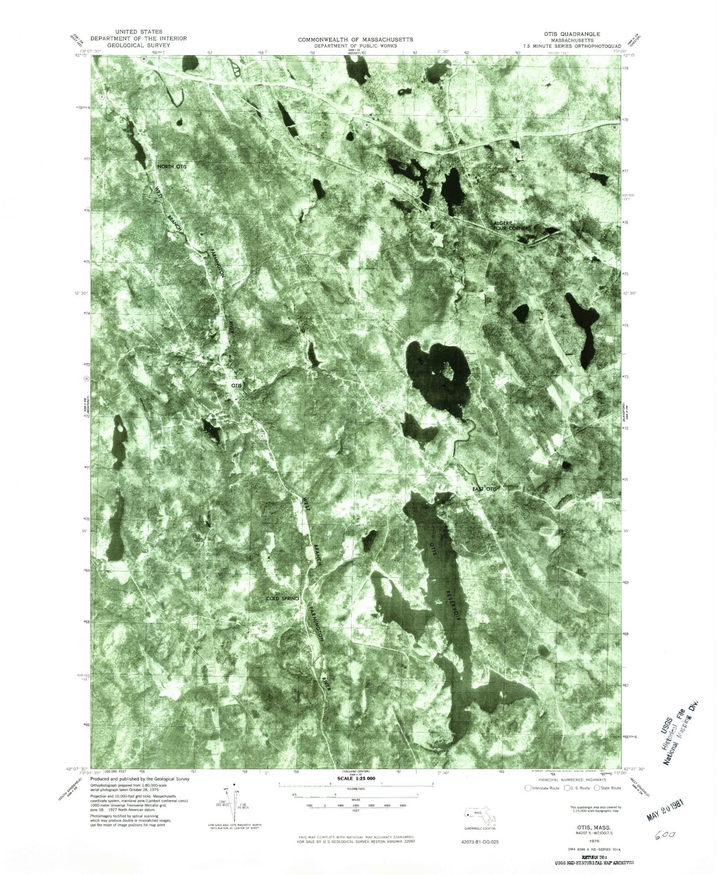
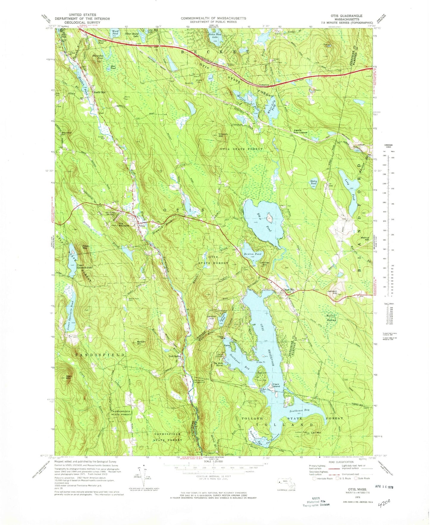
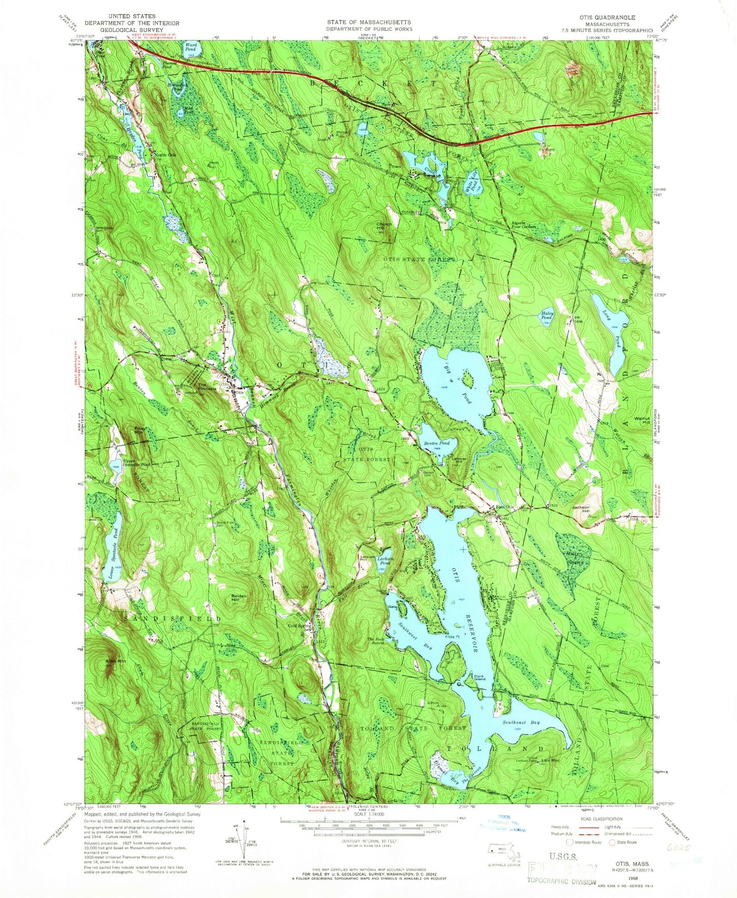
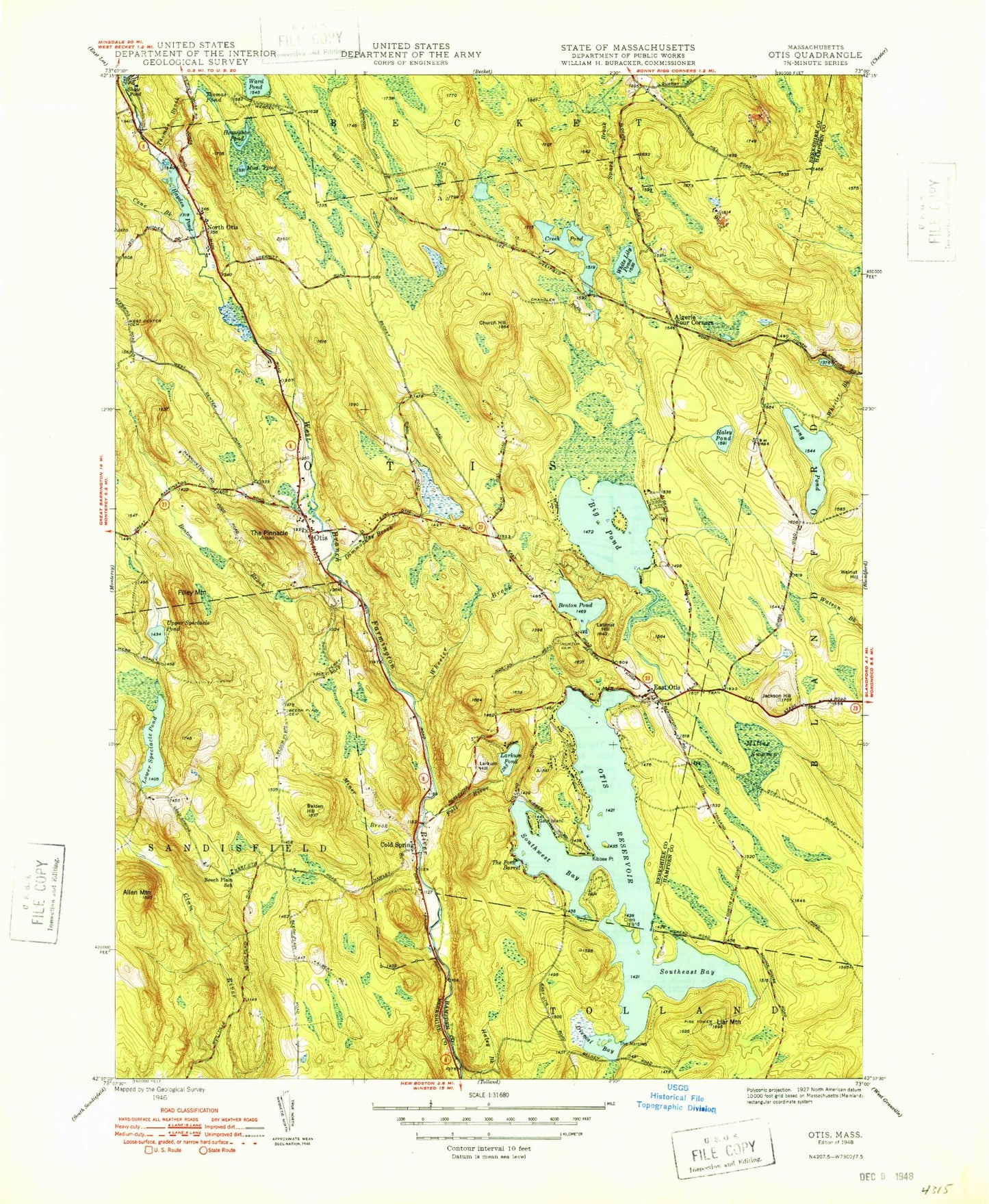
Historical USGS topographic quad map of Otis in the state of Massachusetts. Typical map scale is 1:24,000, but may vary for certain years, if available. Print size: 24" x 27"
This quadrangle is in the following counties: Berkshire, Hampden.
The map contains contour lines, roads, rivers, towns, and lakes. Printed on high-quality waterproof paper with UV fade-resistant inks, and shipped rolled.
Contains the following named places: The Pinacle, Beech Plain Cemetery, Otis Ridge Ski Area, Cold Spring Campground, Camp Overflow, Camp Nawaka, West Center Cemetery, Clam Lake Dam, Clam Lake Reservoir, Otis Reservoir Dam, Lower Spectacle Pond Dam, Upper Spectacle Pond Dam, Benton Brook Reservoir, Camp Sequena Dam, Long Pond Dam, White Lily Pond Dam, Watson Pond Dam, Hayden Pond Dam, Indian Lake Dam, Indian Lake Reservoir, Otis Ridge, Mud Pond, Algerie Four Corners, Allen Mountain, Belden Hill, Benton Brook, Benton Pond, Big Pond, Church Hill, Clark Island, Cold Spring, Cone Brook, Dimmock Brook, East Otis, Fall River, Filley Mountain, Gate Island, Hayden Pond, Horseshoe Pond, Jackson Hill, Kibbe Point, Lair Mountain, Larkum Hill, Larkum Pond, Latimer Hill, Long Pond, Lower Spectacle Pond, Miller Swamp, Miner Brook, Mud Pond, The Narrows, North Otis, Otis, Otis Falls, Spectacle Pond Brook, Thomas Brook, Thomas Pond, Upper Spectacle Pond, Ward Pond, Wheeler Brook, White Lily Pond, Spectacle Ponds, Silver Shield Lake, Watson Pond, Dismal Bay, The Pork Barrel, Southeast Bay, Southwest Bay, Tolland State Forest, Otis Reservoir, Town of Otis, East Otis Post Office, Excalibur Lake, Otis Town Hall, Otis Wood Lanes, Otis Public Library, Otis Fire Department, Otis Police Department, Otis Post Office, Haley Pond, The Pinacle, Beech Plain Cemetery, Otis Ridge Ski Area, Cold Spring Campground, Camp Overflow, Camp Nawaka, West Center Cemetery, Clam Lake Dam, Clam Lake Reservoir, Otis Reservoir Dam, Lower Spectacle Pond Dam, Upper Spectacle Pond Dam, Benton Brook Reservoir, Camp Sequena Dam, Long Pond Dam, White Lily Pond Dam, Watson Pond Dam, Hayden Pond Dam, Indian Lake Dam, Indian Lake Reservoir, Otis Ridge, Mud Pond, Algerie Four Corners, Allen Mountain, Belden Hill, Benton Brook, Benton Pond, Big Pond, Church Hill, Clark Island, Cold Spring, Cone Brook, Dimmock Brook, East Otis, Fall River, Filley Mountain, Gate Island, Hayden Pond, Horseshoe Pond, Jackson Hill, Kibbe Point, Lair Mountain, Larkum Hill, Larkum Pond, Latimer Hill, Long Pond, Lower Spectacle Pond, Miller Swamp, Miner Brook, Mud Pond, The Narrows, North Otis, Otis, Otis Falls, Spectacle Pond Brook, Thomas Brook, Thomas Pond, Upper Spectacle Pond, Ward Pond, Wheeler Brook, White Lily Pond, Spectacle Ponds, Silver Shield Lake, Watson Pond, Dismal Bay, The Pork Barrel, Southeast Bay, Southwest Bay, Tolland State Forest, Otis Reservoir, Town of Otis, East Otis Post Office, Excalibur Lake, Otis Town Hall, Otis Wood Lanes, Otis Public Library, Otis Fire Department, Otis Police Department, Otis Post Office, Haley Pond, The Pinacle, Beech Plain Cemetery, Otis Ridge Ski Area, Cold Spring Campground, Camp Overflow, Camp Nawaka, West Center Cemetery, Clam Lake Dam, Clam Lake Reservoir, Otis Reservoir Dam, Lower Spectacle Pond Dam, Upper Spectacle Pond Dam, Benton Brook Reservoir, Camp Sequena Dam, Long Pond Dam, White Lily Pond Dam, Watson Pond Dam, Hayden Pond Dam, Indian Lake Dam, Indian Lake Reservoir, Otis Ridge, Mud Pond, Algerie Four Corners, Allen Mountain, Belden Hill, Benton Brook, Benton Pond, Big Pond, Church Hill, Clark Island, Cold Spring, Cone Brook, Dimmock Brook, East Otis, Fall River, Filley Mountain, Gate Island, Hayden Pond, Horseshoe Pond, Jackson Hill, Kibbe Point, Lair Mountain, Larkum Hill, Larkum Pond, Latimer Hill, Long Pond, Lower Spectacle Pond, Miller Swamp, Miner Brook, Mud Pond, The Narrows, North Otis, Otis, Otis Falls, Spectacle Pond Brook, Thomas Brook, Thomas Pond, Upper Spectacle Pond, Ward Pond, Wheeler Brook, White Lily Pond, Spectacle Ponds, Silver Shield Lake, Watson Pond, Dismal Bay, The Pork Barrel, Southeast Bay, Southwest Bay, Tolland State Forest, Otis Reservoir, Town of Otis, East Otis Post Office, Excalibur Lake, Otis Town Hall, Otis Wood Lanes, Otis Public Library
