MyTopo
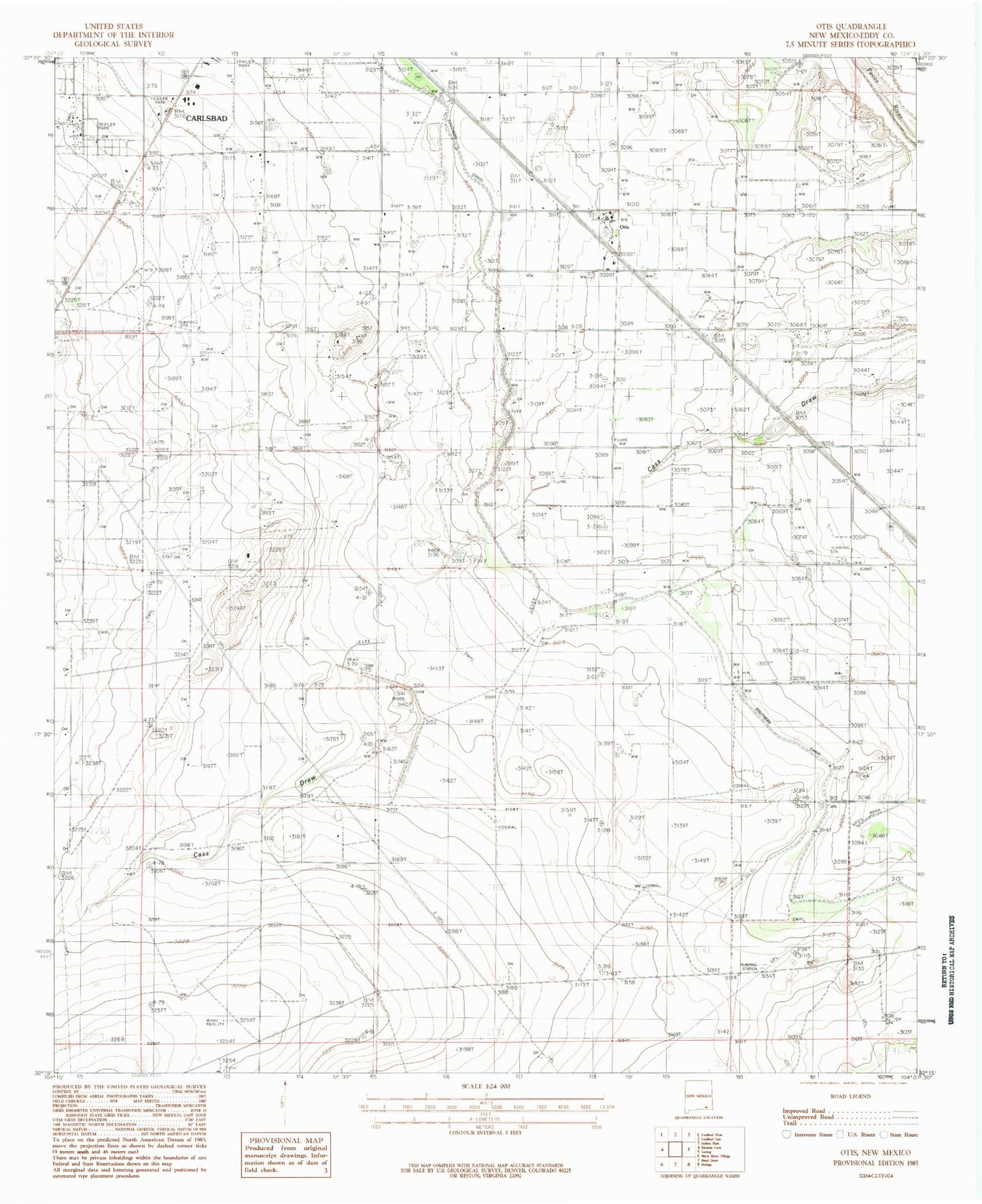
Classic USGS Otis New Mexico 7.5'x7.5' Topo Map
Couldn't load pickup availability
Historical USGS topographic quad map of Otis in the state of New Mexico. Map scale may vary for some years, but is generally around 1:24,000. Print size is approximately 24" x 27"
This quadrangle is in the following counties: Eddy.
The map contains contour lines, roads, rivers, towns, and lakes. Printed on high-quality waterproof paper with UV fade-resistant inks, and shipped rolled.
Contains the following named places: Carlsbad Fire Department Station 4, Cass Draw Site Number One Dam, Cass Draw Site Number Two Dam, Cavern City Dragway, Cuba Cemetery, Forehand Ranch, Joel Volunteer Fire Department Station 2, Joel Volunteer Fire Department Station 3, Joel Volunteer Fire Department Station 4, Municipal Lake, Municipal Tansill Lake Dam, Otis, Otis Post Office, Otis Volunteer Fire Department Station 1