MyTopo
Classic USGS O'Took Prairie Washington 7.5'x7.5' Topo Map
Regular price
$16.95
Regular price
Sale price
$16.95
Unit price
per
Couldn't load pickup availability
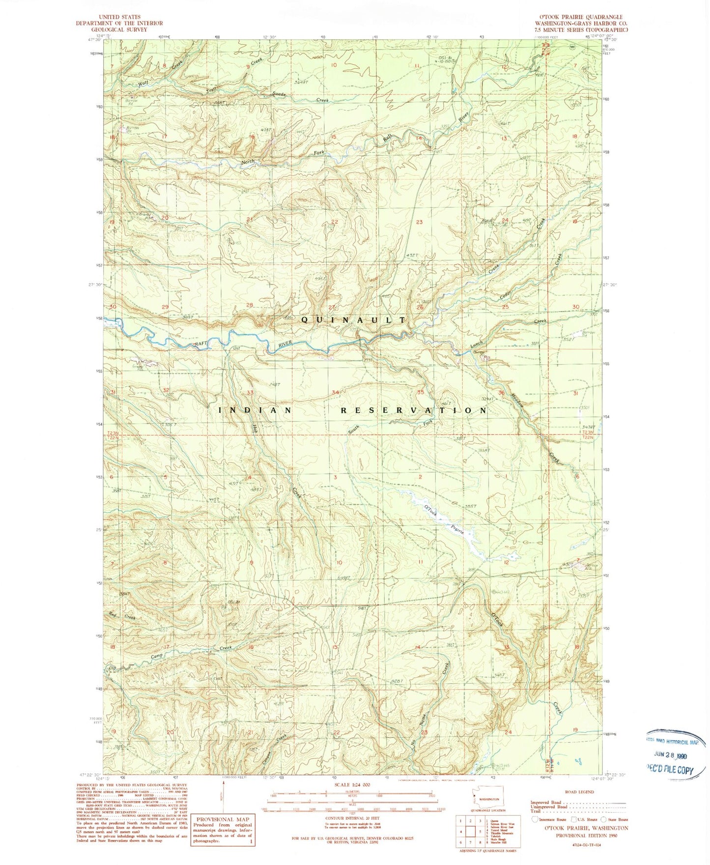
Historical USGS topographic quad map of O'Took Prairie in the state of Washington. Map scale may vary for some years, but is generally around 1:24,000. Print size is approximately 24" x 27"
This quadrangle is in the following counties: Grays Harbor.
The map contains contour lines, roads, rivers, towns, and lakes. Printed on high-quality waterproof paper with UV fade-resistant inks, and shipped rolled.
Contains the following named places: Cedar Creek, Crane Creek, Hoh Creek, Lunch Creek, Meadow Creek, O'Took Prairie, Quinault Reservation, Quinault Reservation Division, South Fork Raft River, Swede Creek, Taholah High School, Trail Creek