MyTopo
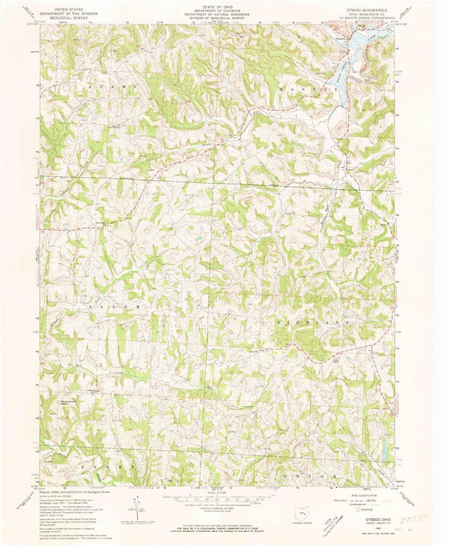
Classic USGS Otsego Ohio 7.5'x7.5' Topo Map
Couldn't load pickup availability
Historical USGS topographic quad map of Otsego in the state of Ohio. Map scale may vary for some years, but is generally around 1:24,000. Print size is approximately 24" x 27"
This quadrangle is in the following counties: Muskingum.
The map contains contour lines, roads, rivers, towns, and lakes. Printed on high-quality waterproof paper with UV fade-resistant inks, and shipped rolled.
Contains the following named places: Anderson School, Barnett School, Bethel Methodist Cemetery, Bethel Methodist Church, Brush Run, Buker School, Burnt Mill School, Carr Cemetery, Drummond Knob, Fairview Cemetery, Fairview Methodist Church, Ferncliff, Ferncliff Post Office, Highland Orchard, Jamison School, Milligan School, Monroe Rural High and Grade School, New Concord Village Reservoir, New Concord Village Reservoir Dam, New Hope Lutheran Cemetery, New Hope Lutheran Church, Otsego, Otsego Baptist Church, Otsego Methodist Cemetery, Otsego Methodist Church, Otsego Post Office, Prairie Fork, Richardson Cemetery, Salem Cemetery, Salem Methodist Church, Township of Adams, Township of Highland, Township of Monroe, Township of Salem, Yearys Orchard, Young American School, ZIP Codes: 43767, 43802