MyTopo
Classic USGS Ottawa NW Kansas 7.5'x7.5' Topo Map
Regular price
$16.95
Regular price
Sale price
$16.95
Unit price
per
Couldn't load pickup availability
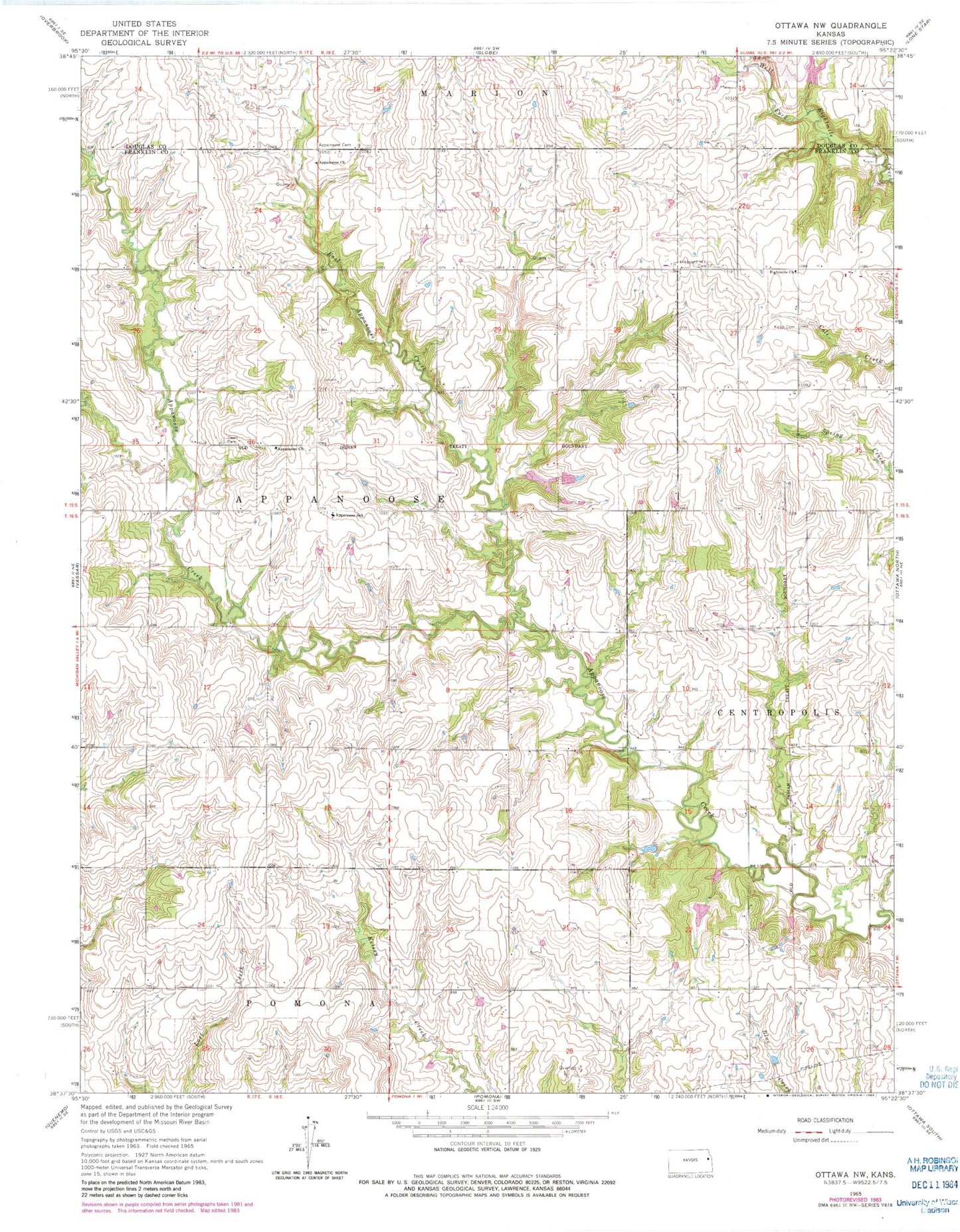
Historical USGS topographic quad map of Ottawa NW in the state of Kansas. Map scale may vary for some years, but is generally around 1:24,000. Print size is approximately 24" x 27"
This quadrangle is in the following counties: Douglas, Franklin.
The map contains contour lines, roads, rivers, towns, and lakes. Printed on high-quality waterproof paper with UV fade-resistant inks, and shipped rolled.
Contains the following named places: Appanoose, Appanoose Baptist Church, Appanoose Brethren Church, Appanoose Cemetery, Appanoose Elementary School, Dean Cemetery, East Appanoose Creek, Eightmile Church, Kaub Cemetery, Pleasant Hill Cemetery, Township of Appanoose, ZIP Code: 66076