MyTopo
Classic USGS Ottawa Illinois 7.5'x7.5' Topo Map
Couldn't load pickup availability
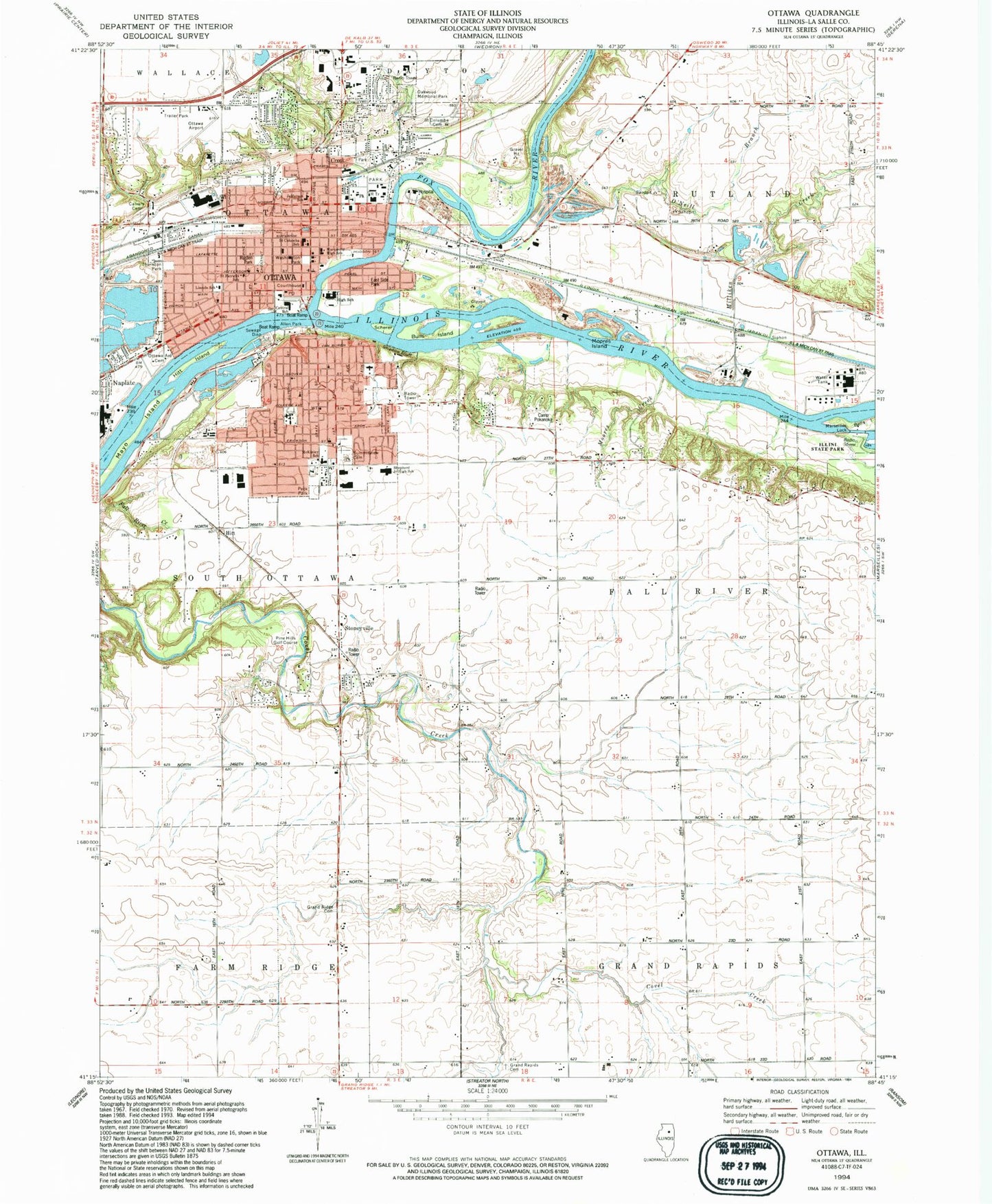
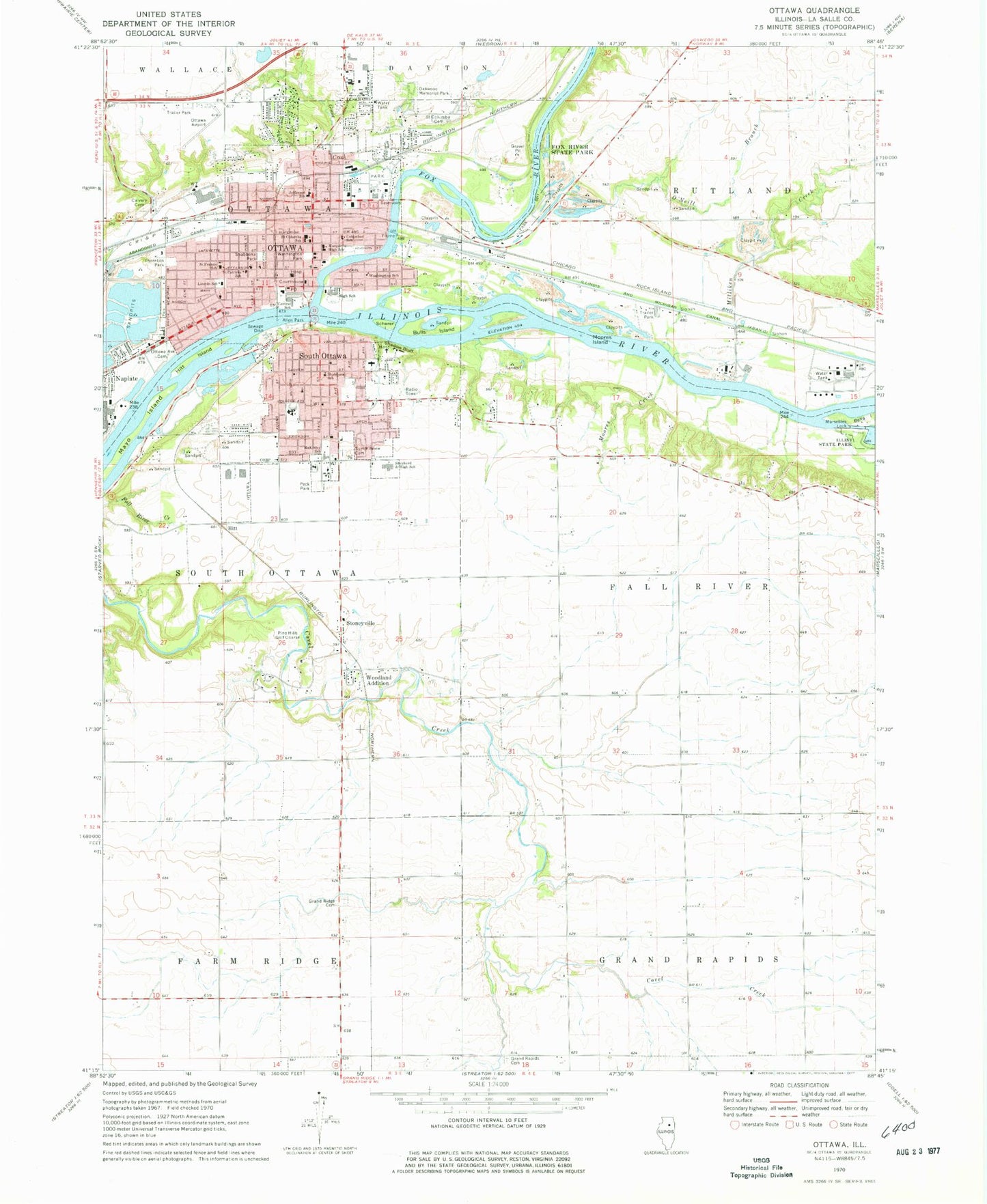
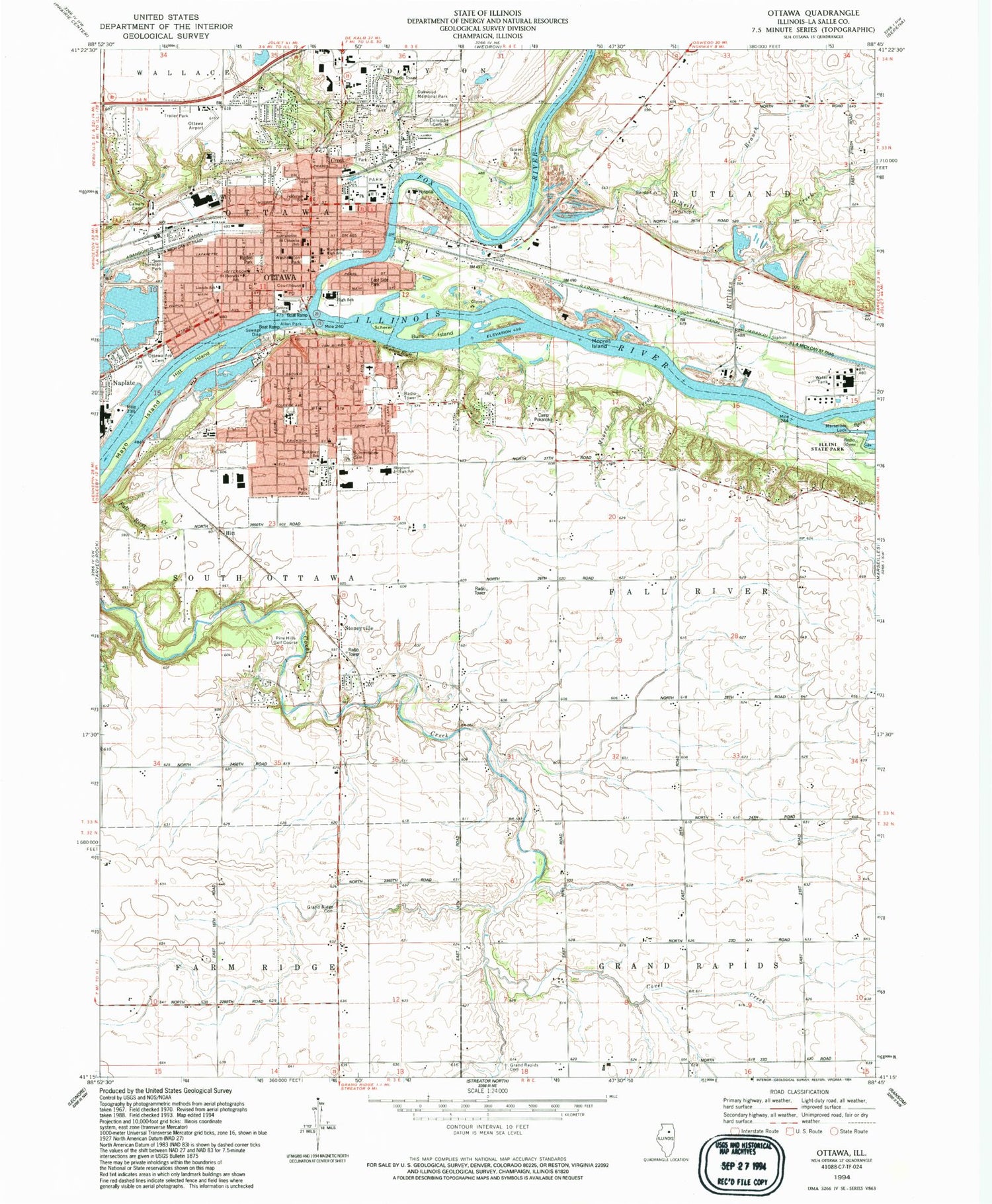
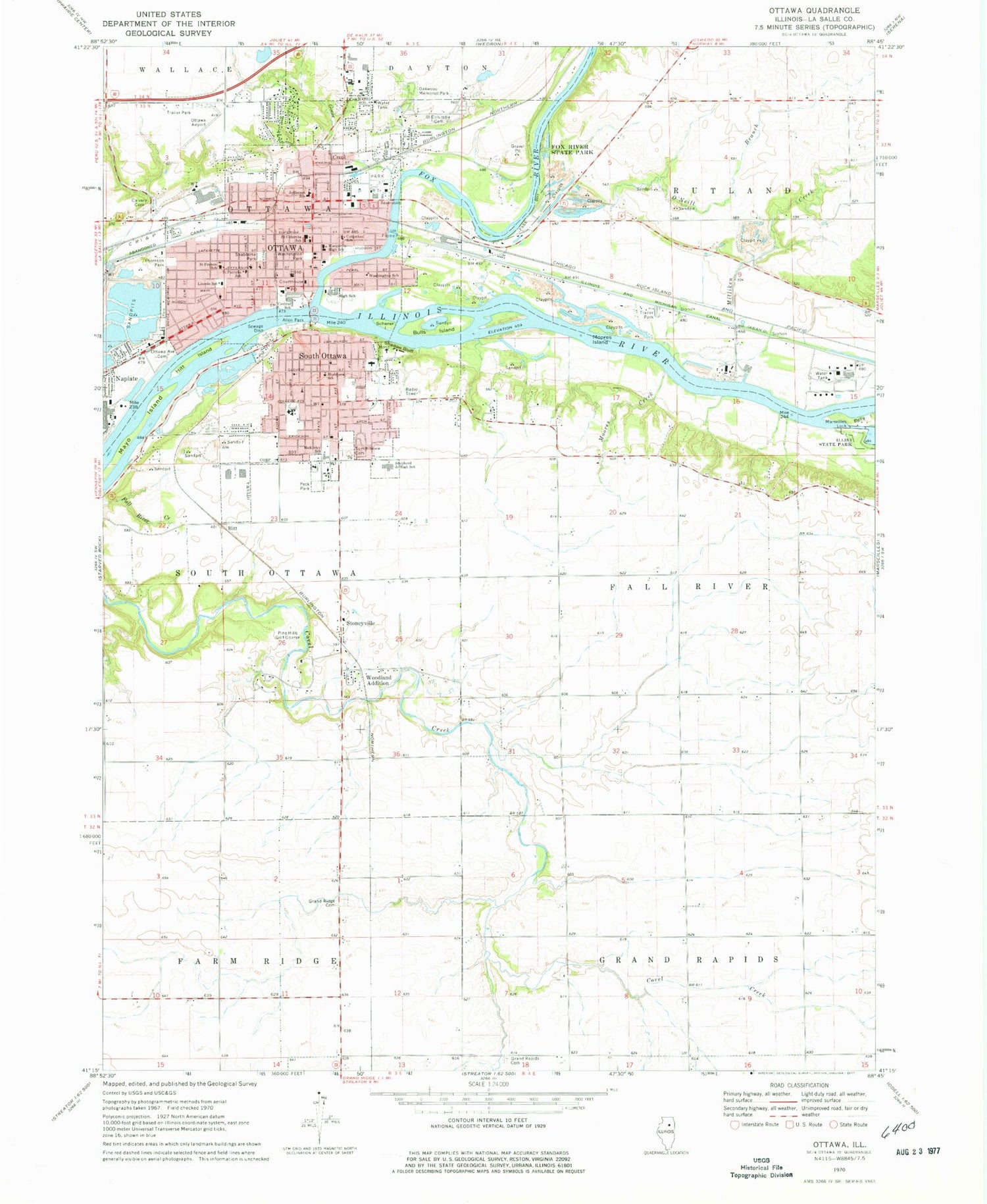
Historical USGS topographic quad map of Ottawa in the state of Illinois. Map scale may vary for some years, but is generally around 1:24,000. Print size is approximately 24" x 27"
This quadrangle is in the following counties: LaSalle.
The map contains contour lines, roads, rivers, towns, and lakes. Printed on high-quality waterproof paper with UV fade-resistant inks, and shipped rolled.
Contains the following named places: Allen Park, Bethel Lutheran Church, Bulls Island, Calvary Baptist Church, Calvary Cemetery, Camp Pokanoka, Central Elementary School, Christ Episcopal Church, Church of the Open Bible, City of Ottawa, Columbus School, Community Hospital of Ottawa Heliport, Covel Creek School, Daniel School, Downtown Ottawa Post Office, Duffield School, East Side Park, Epworth United Methodist Church, Evangelical United Methodist Church, Faith Bible Bapist Church, Faith Lutheran Church, Fall River Creek, First Assembly of God Church, First Baptist Church, First Church of Christ Scientist, First Congregational Church, First Presbyterian Church, First United Methodist Church, Fox River, Fox River Aqueduct, Fox River State Park, General Electric Plastics Ottawa Site Fire Station, Goose Creek, Grace Baptist Church, Grand Rapids Cemetery, Grand Ridge Mutual and Poundstone Family Cemetery, Hayes School, Hitt, Hitt Island, Jefferson Elementary School, Kiwanis Park, La Salle County 4-H Grounds, La Salle County Courthouse, La Salle Tuberculosis Sanatorium, LaSalle County Jail, LaSalle County Sheriff's Office, Lewis School, Lincoln Elementary School, Lincoln-Douglas Park, Lock Number 11, Maple Grove School, Marquette High School, Marseilles Lock, Mayo Island, McKinley Elementary School, Meyers School, Milliken Creek, Millikin School, Moores Creek, Moores Island, Mud College School, Oakwood Memorial Park, O'Neill Branch, OSF Saint Elizabeth Medical Center, Ottawa, Ottawa Airport, Ottawa Avenue Cemetery, Ottawa Boat Club, Ottawa Fire Department, Ottawa Fire Department Station 2, Ottawa Police Department, Ottawa Post Office, Ottawa Township High School, Oxford School, Peck Park, Pikes Airport, Pilgrim Holiness Church, Pine Hills Golf Course, Pleasant View Lutheran Church, Prairie Queen School, Reddick Library, Reddick Mansion, Reed Crossing, Reorganized Church of Jesus Christ of Latter Day Saints, Rigden Park, Rybury Hospital, Saint Columba Catholic Church, Saint Columba Cemetery, Saint Columba School, Saint Francis of Assisi Church, Saint Francis School, Saint Patricks Church, Saint Patricks School, Scherer Island, Seventh Day Adventist Church, Shabbona School, Shadow Bluff, South Ottawa, South Side Christian Church, South Side Church of the Nazarene, South Towne Mall Shopping Center, Stoneyville, Summit View Cemetery, The Church of Jesus Christ of Latter Day Saints, Thornton Park, Township of Fall River, Township of South Ottawa, Trinity Lutheran Church, Varland Park, W P Shepherd Junior High School, Walsh Park, Washington Park, Washington Park Historic District, Washington School, WCMY-AM (Ottawa), WKOT-FM (Marseilles), Woodland Addition, Zion Evangelical Church, ZIP Code: 61350


