MyTopo
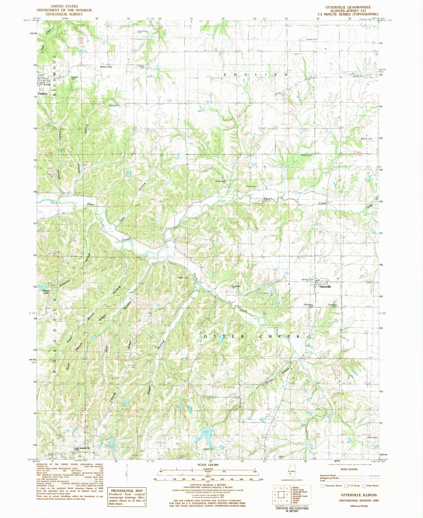
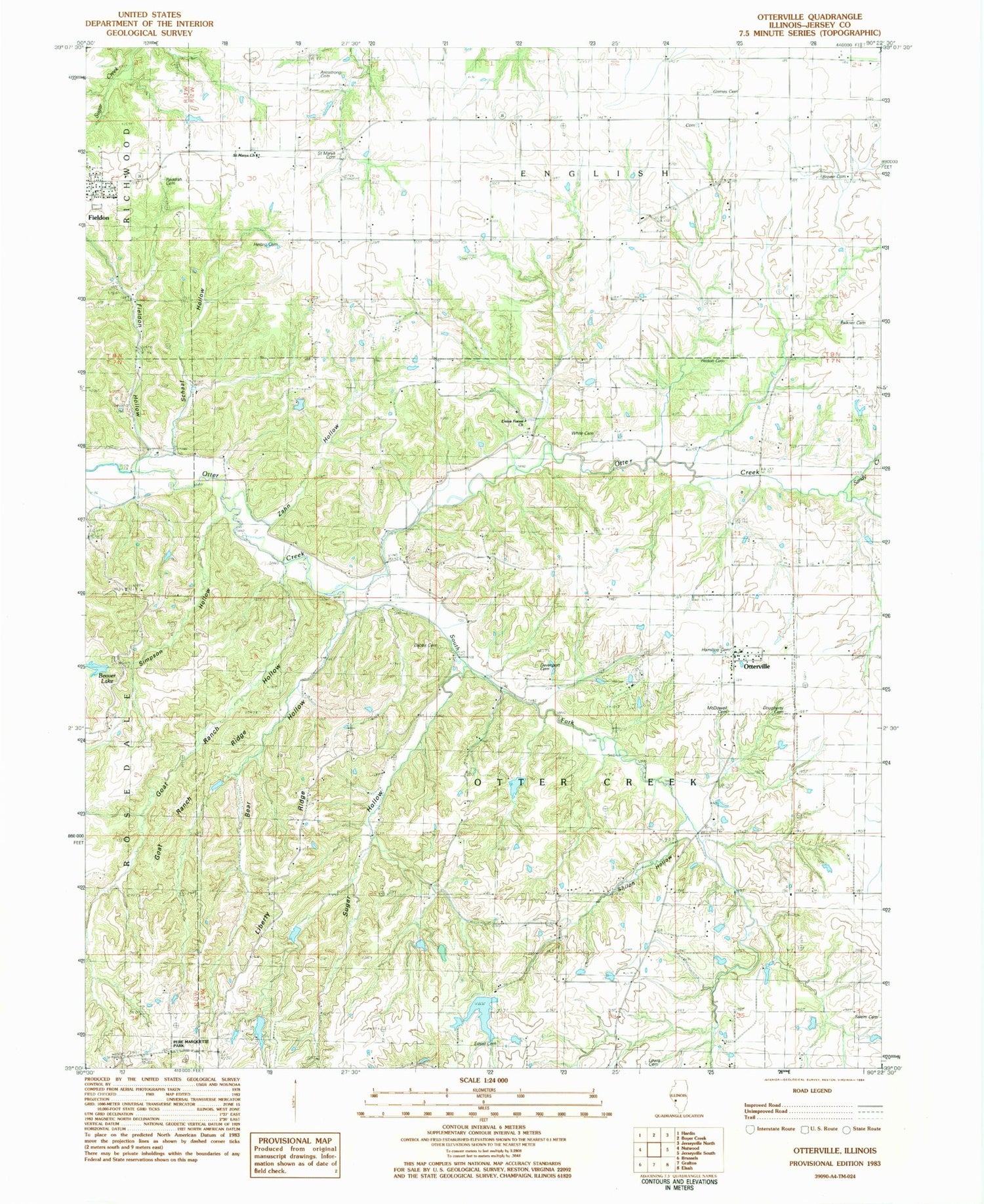
Classic USGS Otterville Illinois 7.5'x7.5' Topo Map
Couldn't load pickup availability
Historical USGS topographic quad map of Otterville in the state of Illinois. Typical map scale is 1:24,000, but may vary for certain years, if available. Print size: 24" x 27"
This quadrangle is in the following counties: Jersey.
The map contains contour lines, roads, rivers, towns, and lakes. Printed on high-quality waterproof paper with UV fade-resistant inks, and shipped rolled.
Contains the following named places: Bear Hollow, Buckeye School (historical), Buena Vista School (historical), Douglas School (historical), Fieldon, Fieldon Hollow, Franklin School (historical), Grant School (historical), Liberty School (historical), Otterville, Pleasant Grove School (historical), Saint Marys School (historical), Sandy Creek, Schaaf Hollow, Shiloh Hollow, Shiloh School (historical), Simpson Hollow, South Fork Otter Creek, Sugar Hollow, Zahn Hollow, Democrat Spring, Goat Ranch Ridge, Goat Ranch Hollow, Township of Otter Creek, Nugent-Schpanski Number 4 Dam, Nugent-Schpanski Number 4 Lake, Armstrong Cemetery, Beaver Lake, Brown Cemetery, Dabbs Cemetery, Davenport Cemetery, Dougherty Cemetery, Edsall Cemetery, Falkner Cemetery, Grimes Cemetery, Hamilton Cemetery, Heitzig Cemetery, Hinson Cemetery, Lewis Cemetery, McDow Cemetery, Reddish Cemetery, Saint Marys Church, Saint Marys Cemetery, Salem Cemetery, Union Forest Church, White Cemetery, Noble Cemetery, Rowden Cemetery, Hamilton Memorial School (historical), Town of Otterville, Village of Fieldon, Fieldon Post Office


