MyTopo
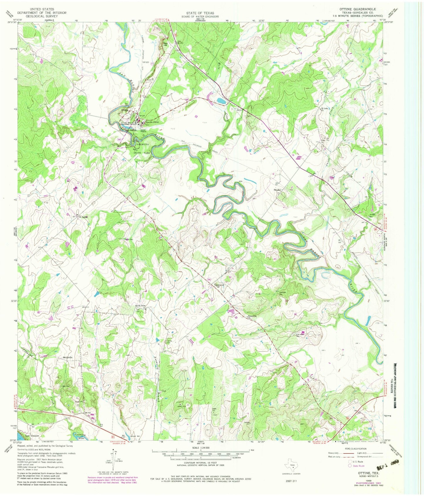
Classic USGS Ottine Texas 7.5'x7.5' Topo Map
Couldn't load pickup availability
Historical USGS topographic quad map of Ottine in the state of Texas. Map scale may vary for some years, but is generally around 1:24,000. Print size is approximately 24" x 27"
This quadrangle is in the following counties: Gonzales.
The map contains contour lines, roads, rivers, towns, and lakes. Printed on high-quality waterproof paper with UV fade-resistant inks, and shipped rolled.
Contains the following named places: Artesia Creek, Benke Lake, Benke Lake Dam, Canoe Creek, Clemens Creek, Ellis Cemetery, Foster Cemetery, Glasscock Lake, Glasscock Lake Dam, Gonzales Warm Springs Rehabilitation Foundation, Greenwood Cemetery, Greenwood Church, Harwood-Ottine Division, Hodge Cemetery, Hoods Point Church, King Cemetery, Little Hill Church, McKeller Cemetery, Mule Creek, Ottine, Palmetto State Park, Palmetto State Park - Lake Trail, Palmetto State Park - Nature and Hiking Trail, Palmetto State Park - Palmetto Trail, Palmetto State Park - River Trail, Princeville Cemetery, Princeville Church, Randle Cemetery, Red Hill, Saint James, Saint Luke Church, Slayden, Smithville, Texas Elks Hospital, Zedler Dam, Zedler Lake